


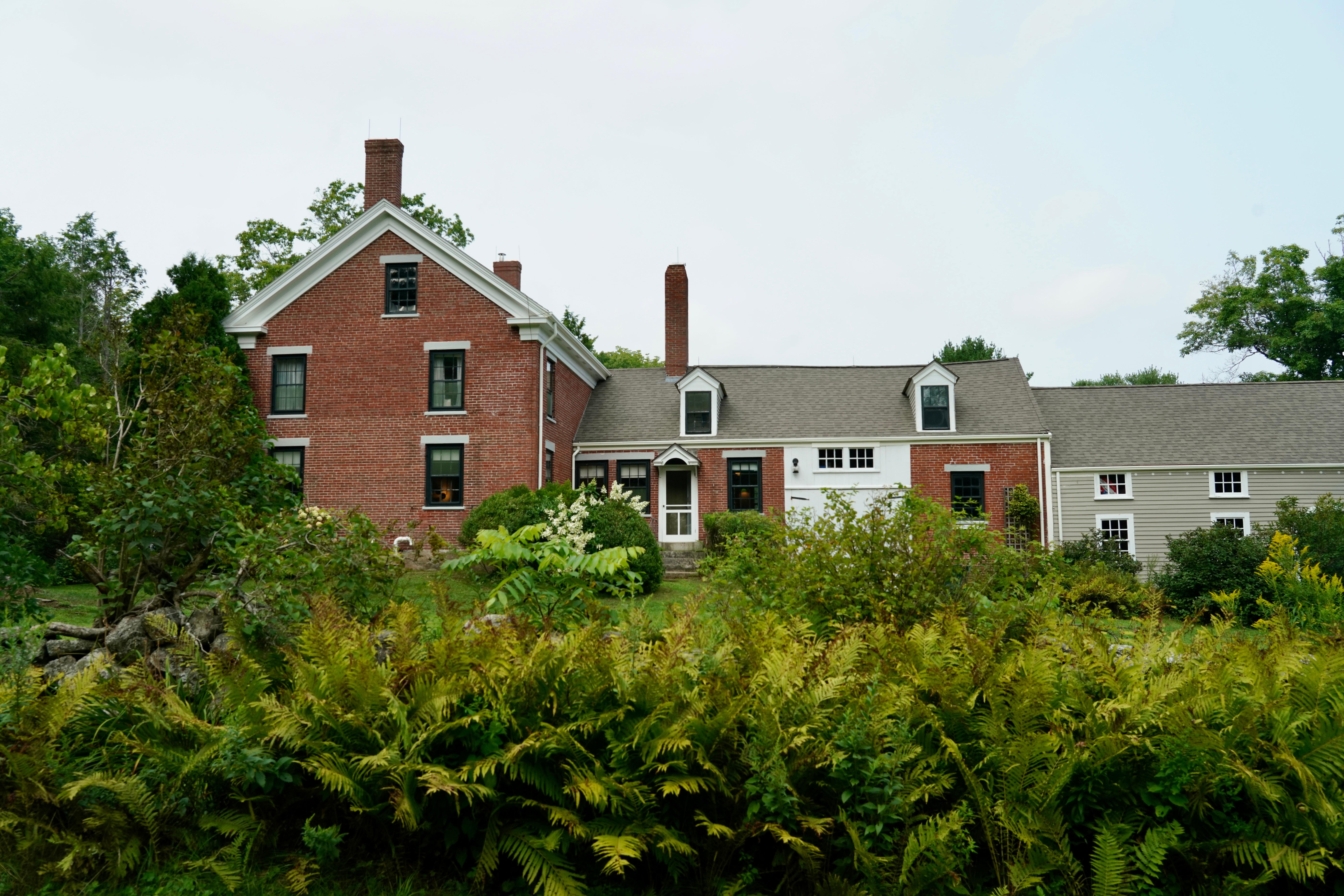
Frances Perkins National Monument
National Monument
Known as the first woman to hold a presidential cabinet position and the “Woman behind the New Deal,” Frances Perkins championed many labor rights that Americans enjoy today, including safety standard...
24 mi from route
~60 min detour
Free
View on nps.gov