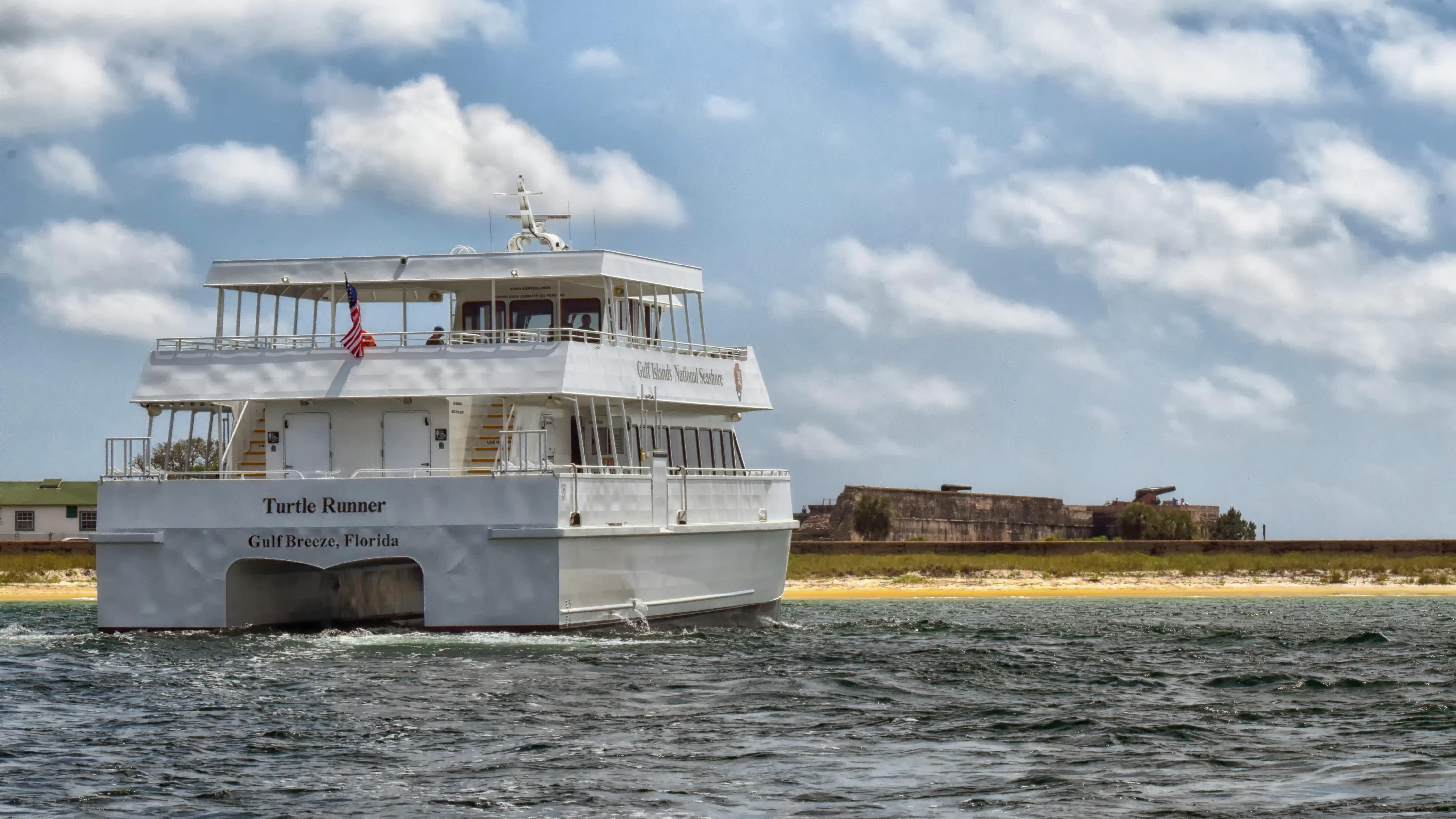
Gulf Islands National Seashore
National Seashore
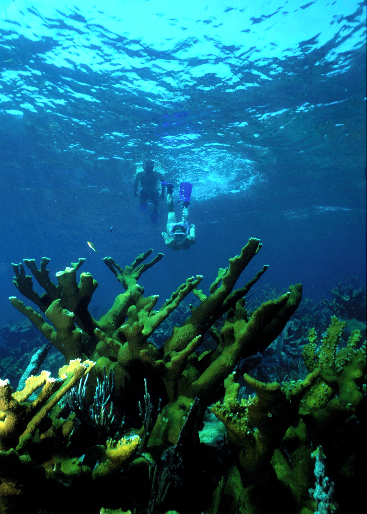
Millions of visitors are drawn to the Gulf of America for Gulf Islands National Seashore's emerald coast waters, magnificent white beaches, fertile marshes and historical landscapes. Come explore with...
10 mi from route
~26 min detour
$25
near mile 666.2
Park Closure: Fort Pickens Campground Restroom A Loop Closure
Caution: Road workers on Park Road in Davis Bayou