The drive from Benton, AR to De Witt, AR covers 99.4 miles and takes about 2h 16m behind the wheel.
This route is realistic as a one-day drive if you keep your stops efficient.
The route leans on McCoy Road, Stuttgart Highway, I 30 for much of the mileage,
and the overall profile is mixed drive.
The longest uninterrupted segment is about 27.4 miles on McCoy Road.
At current regular gas prices, budget about $15.01 one way before food or hotel costs.
Trip Pace
Same-day drive is realistic
A same-day return is realistic if you keep stops short.
Midpoint
49.7 miles from Benton, AR
A natural place for your longest stop of the day
, about 1h 5m into the drive
.
Who Is This Route For?
Weekend Trip
Doable as a same-day drive at 2h 16m. Total distance: 99.4 miles.
Family Friendly
Moderate complexity with 0 natural rest stops along the way.
Solo Traveler
2h 16m drive, comfortable solo distance.
First-Time Driver
Mostly highway driving (40%). Some complex stretches to watch for.
Scenic Drive
Mixed drive route profile with national parks nearby.
Drive Character
The drive from Benton, AR to De Witt, AR covers 99.4 miles and takes about 2h 16m, using a mix of highways and local roads.
Expect a mix of faster highway mileage and slower local approaches near the beginning or end.
There are about 20 navigation steps in the underlying route data, so the final approach matters more than the middle miles.
McCoy Road is the longest continuous segment at about 27.4 miles.
How Hard Is This Drive?
This route mixes highway mileage with some local-road sections near the start or finish. You will hit about 9 points where you need to pay attention to lane position or signs. The trickiest moment comes around 21.5 miles in near I 440 / East Belt Freeway.
Driving Effort5/10
Moderate - straightforward overall, but long enough or busy enough to require pacing
Balances navigation complexity with total wheel time.
This drive requires moderate attention. Across 99.4 miles you will encounter 9 spots where lane choice or exit timing matters. Not difficult for experienced highway drivers, but worth previewing the tricky sections before you go.
Where does it get tricky?
The main spots that need attention: at 21.5 miles (I 440 / East Belt Freeway): Highway fork - watch signs carefully. Multiple destination signs - pick the right one; at 28.3 miles: Exit ramp - move to the correct lane early. Multiple destination signs - pick the right one; at 28.7 miles: Highway fork - watch signs carefully.
Critical Maneuvers
5 of 9 key points
These are the spots where you need to pay the most attention. Preview them before you drive.
6
21.5 mi into trip|~25m in|I 440 / East Belt Freeway
Keep slight right at fork onto I 440 / East Belt Freeway toward I 440 East: Little Rock Airport, Little Rock River Port, Memphis
Highway fork - watch signs carefully. Multiple destination signs - pick the right one
Toward I 440 East: Little Rock Airport, Little...
5
28.3 mi into trip|~32m in
Take the exit toward US 165: Scott, England
Exit ramp - move to the correct lane early. Multiple destination signs - pick the right one
Toward US 165: Scott, England
4
28.7 mi into trip|~33m in
Keep slight right at fork
Highway fork - watch signs carefully
4
46.8 mi into trip|~1h in|US 165; AR 15 / East Fordyce Street
Turn left onto US 165; AR 15 / East Fordyce Street
Navigation decision point
4
98.7 mi into trip|~2h 15m in|AR 152 / West 2nd Street
Turn left onto AR 152 / West 2nd Street
Navigation decision point
Towns Mentioned on Route Signs
Based on OSRM destination-sign hints, not a full list of every settlement the road passes.
Between Benton, AR and De Witt, AR, road signs point toward Little Rock River Port, Memphis and England.
Little Rock River Port
21.5 mi in|~25m|via I 440
Memphis
21.5 mi in|~25m|via I 440
England
28.3 mi in|~32m
Main Roads
Road
Distance
Duration
McCoy Road
27.4 mi
38m
Stuttgart Highway
23.8 mi
35m
I 30
20.3 mi
22m
US 165
12.4 mi
18m
East Belt Freeway
6.8 mi
7m
Old England Highway
2.7 mi
4m
England Road
2.5 mi
3m
East Fordyce Street
0.7 mi
1m
Longest stretch:
McCoy Road
— 27.4 mi, about 38m
Turn-by-Turn Driving Directions
Step-by-step road directions between Benton, AR and De Witt, AR.
1
Start on North Main Street
0.2 mi·22 sec·North Main Street
2
Continue on Military Road
0.1 mi·20 sec·Military Road
3
Turn left onto AR 35
0.3 mi·35 sec·East Carpenter Street
4
Turn straight
0.1 mi·26 sec
5
Turn straight onto AR 5
0.3 mi·29 sec·I-30 Frontage Road
6
Take the ramp
516 ft·12 sec
7
Merge onto I 30; US 67; US 70
20 mi·22 min·I 30; US 67; US 70
8
Keep slight right at fork onto I 440
6.8 mi·7 min·East Belt Freeway
Toward I 440 East: Little Rock Airport, Little Rock River Port, Memphis
9
Take the exit
0.4 mi·52 sec
Toward US 165: Scott, England
10
Keep slight right at fork
189 ft·4 sec
11
Turn straight onto US 165
2.5 mi·3 min·England Road
12
Continue on US 165
2.7 mi·4 min·Old England Highway
13
Continue on US 165
12 mi·18 min·US 165
14
Continue on US 165; AR 15
0.5 mi·51 sec·North Main Street
15
Turn left onto US 165; AR 15
0.7 mi·1 min·East Fordyce Street
16
Continue on US 165
24 mi·35 min·Stuttgart Highway
17
Continue on US 165
27 mi·38 min·McCoy Road
18
Turn left onto AR 152
0.7 mi·1 min·West 2nd Street
19
Turn right onto AR 1B
115 ft·3 sec·South Jefferson Street
20
Arrive at destination
AR 1B
Trip Plan
Morning Departure
Leave by 9 AM and you'll arrive before lunch.
Evening Departure
Even a 4 PM departure gets you there before dark in summer.
You can normally do this drive in one day.
You may only need one short stretch break if traffic stays light.
The halfway point lands around 49.7 miles from Benton, AR, or about 1h 5m into the drive.
The longest continuous stretch on this route runs about 27.4 miles.
This is a comfortable same-day trip.
Departure
Before you leave
Start with fuel, water, and navigation already sorted so the first hour feels easy.
First stop
Around 22 miles or 25m in
Use this first pause for coffee, a restroom break, and a quick traffic check ahead.
Halfway reset
Around 49.7 miles or 1h 5m in
This is the best place for your longest stop, a real meal, and a full fuel check.
Final approach
Final hour starts around 1h 51m
Traffic, exits, and arrival timing usually matter more near De Witt, AR than in the middle of the route.
Before You Leave
+
Open the route before leaving Benton, AR so your first major turns are already loaded.
+
Leave with enough water and a charging cable within reach, not packed away.
+
Check your fuel range against the first long segment, especially if you are starting outside city service areas.
Day 1
Settle into the route from Benton, AR
This is one driving day of about 99.4 miles and 2h 16m.
Your first comfortable stop window is around 22 miles from Benton, AR.
This route can stay practical as a one-day drive if traffic stays reasonable.
The longest stretch is on McCoy Road for about 27.4 miles.
Where to Stop
Rest stops, refuel points, and overnight suggestions along this route.
Halfway Point
Midpoint
About 49.7 mi from Benton, AR
· 1h 5m into the drive
The midpoint is around 49.7 miles from Benton, AR, which is a good place for a longer meal and fuel stop.
Arriving in De Witt, AR
The final approach into De Witt, AR usually feels slower than the middle of the drive, so avoid planning your tightest schedule at the very end.
Try to arrive with enough fuel left to skip an immediate station stop unless you already know the area around De Witt, AR.
These stop ideas are pacing suggestions — the exact town or exit can change with traffic, hotel plans, and fuel range.
National Parks Near This Route
Worth a detour if your schedule allows.
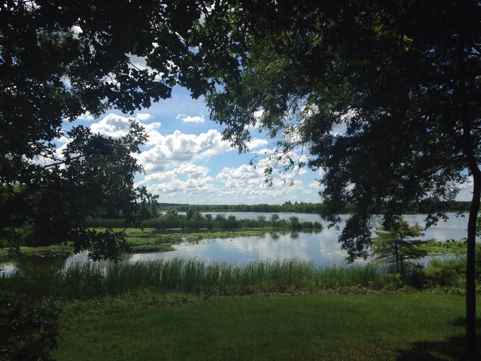
Arkansas Post National Memorial
National Memorial
Located at the confluence of two rivers, Arkansas Post has served as a gathering place for many cultures throughout human history - it represents cultural cooperation, conflict, synthesis, and diversi...
20 mi from route
~50 min detour
Free
near mile 99.4
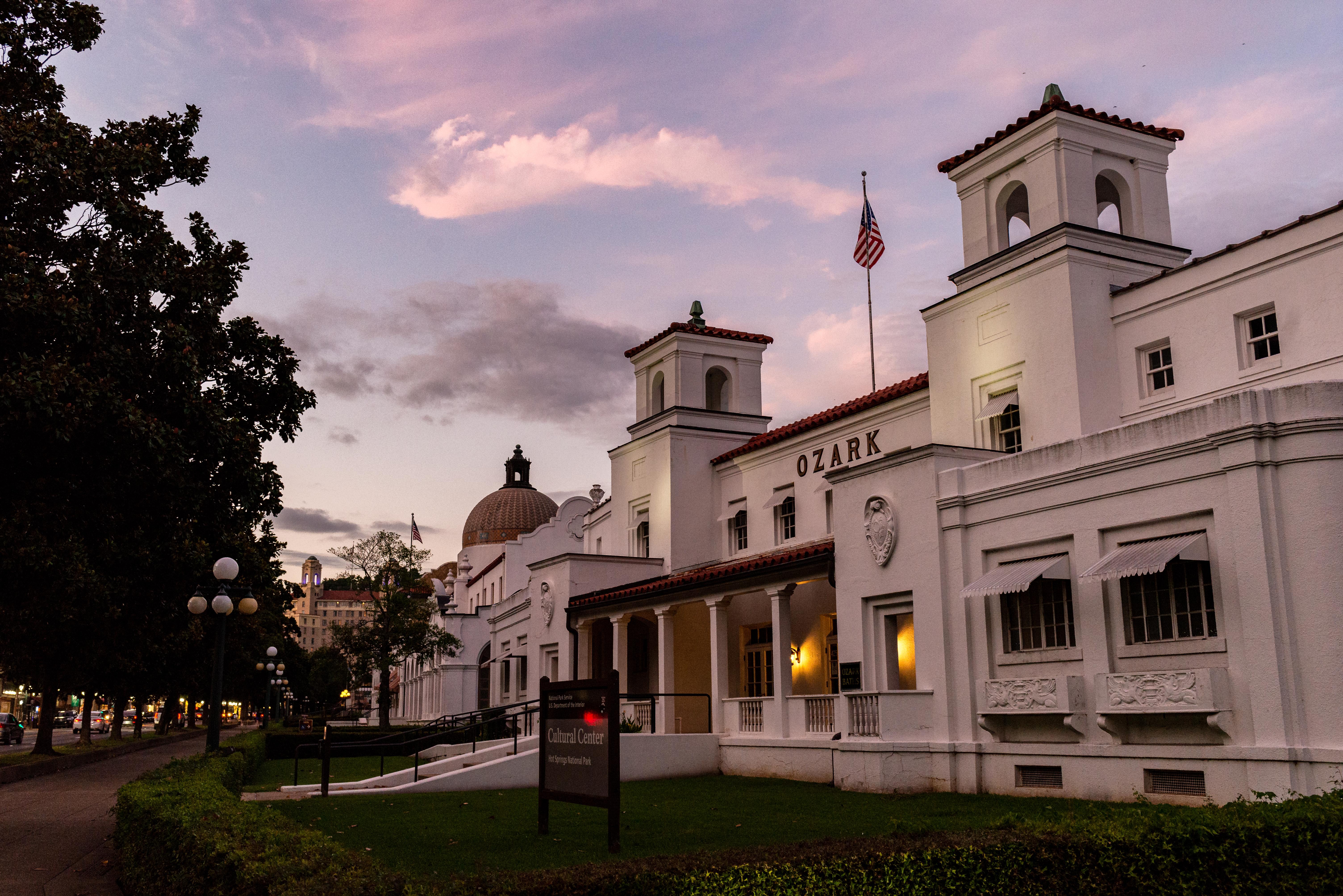
Hot Springs National Park has a rich cultural past. The grand architecture of our historic bathhouses is equally matched by the natural curiosities that have been drawing people here for hundreds of y...
Park data from the National Park Service API. Alerts update every 2 hours.
Fuel & Cost
Regular Gas
$15.01 one way
$30.02 round trip
$3.84/gal25.4 MPG avg35 kg CO2
Fuel Type
$/gal
One Way
Round Trip
midgrade
$4.21
$16.48
$32.96
premium
$4.56
$17.84
$35.68
diesel
$5.61
$21.95
$43.89
No toll roads detected on this route.
Estimated Trip Cost (one way, 1 person)
Fuel
$15
Meals
$25–$50
Total
$40–$65
Rough estimate based on US averages. Hotel $80–$140/night, meals $25–$50/day.
Estimated CO2 emission: 34.8 kg one way.
Prices: EIA weekly data, 2026-04-13.
Driving Electric?
About $10 in charging
· 0 stops
· 66% less CO2
Vehicle Type
kWh
Stops
DC Fast
Home Charge
Average EV
29.8
0
$10.44
$4.77
Efficient EV
24.9
0
$8.70
$3.98
EV Truck/SUV
39.8
0
$13.92
$6.36
Gas CO2
35 kg
EV CO2
12 kg (66% less)
This trip is well within single-charge range for most EVs. No charging stops needed if you start fully charged.
DC fast charging avg $0.35/kWh. Home charging avg $0.16/kWh. US grid CO2: 0.39 kg/kWh.
Travel Intel
Current conditions at both ends of the drive.
Forecast as of Apr 15, 2026
Origin
Benton, AR
Evening
in Benton on Thursday
Local time
6:11 PM
CDT
Current temp
77°F
Unavailable
Live forecast
Destination
De Witt, AR
Evening
in De Witt on Thursday
Local time
6:11 PM
CDT
Current temp
77°F
Unavailable
Live forecast
77°F
Jacksonville, AR
50 mi in
Seasonal Notes
Summer travel usually means heavier construction, hotter rest stops, and busier weekend traffic around major cities.
Winter travel shortens daylight, so a route that looks manageable on paper can feel much longer after dark.
Holiday weekends tend to make both departure and arrival windows slower than the raw route time suggests.
Time zone
Same local time
Origin and destination are on the same clock, so arrival timing is easier to judge at a glance.
Temperature spread
Very similar conditions
Both ends of the route are sitting at about the same temperature right now.
Road read
2h 16m on the road
Use the two city cards together: check the sky where you start, then compare it with the local time and temperature at arrival.
Weather data from the National Weather Service. Conditions may change; check closer to your travel date.
Frequently Asked Questions
The drive from Benton, AR to De Witt, AR covers 99.4 miles and takes about 2h 16m without stops. Add 15-30 minutes for a fuel or rest stop on longer drives.
The main roads are McCoy Road, Stuttgart Highway, I 30. Expect a mix of highway and local road driving.
This is a comfortable same-day trip.
The midpoint is about 49.7 miles from Benton, AR. Look for rest areas, gas stations, or food options near the halfway mark.
At current regular gas prices, expect to spend about $15.01 one way. This estimate uses 25.4 MPG — your actual cost will vary with your vehicle's fuel efficiency and current gas prices.
Leave by 9 AM and you'll arrive before lunch. Even a 4 PM departure gets you there before dark in summer.
This drive requires moderate attention. Across 99.4 miles you will encounter 9 spots where lane choice or exit timing matters. Not difficult for experienced highway drivers, but worth previewing the tricky sections before you go.
The main spots that need attention: at 21.5 miles (I 440 / East Belt Freeway): Highway fork - watch signs carefully. Multiple destination signs - pick the right one; at 28.3 miles: Exit ramp - move to the correct lane early. Multiple destination signs - pick the right one; at 28.7 miles: Highway fork - watch signs carefully.
Between Benton, AR and De Witt, AR, road signs point toward Little Rock River Port, Memphis and England.
Yes. Nearby national parks include Arkansas Post National Memorial and Hot Springs National Park.