Yosemite National Park
National Park
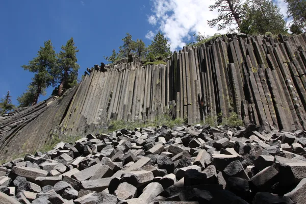
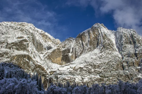
Not just a great valley, but a shrine to human foresight, the strength of granite, the power of glaciers, the persistence of life, and the tranquility of the High Sierra. First protected in 1864, Yose...
3 mi from route
~7 min detour
$35
near mile 114.5
View on nps.gov