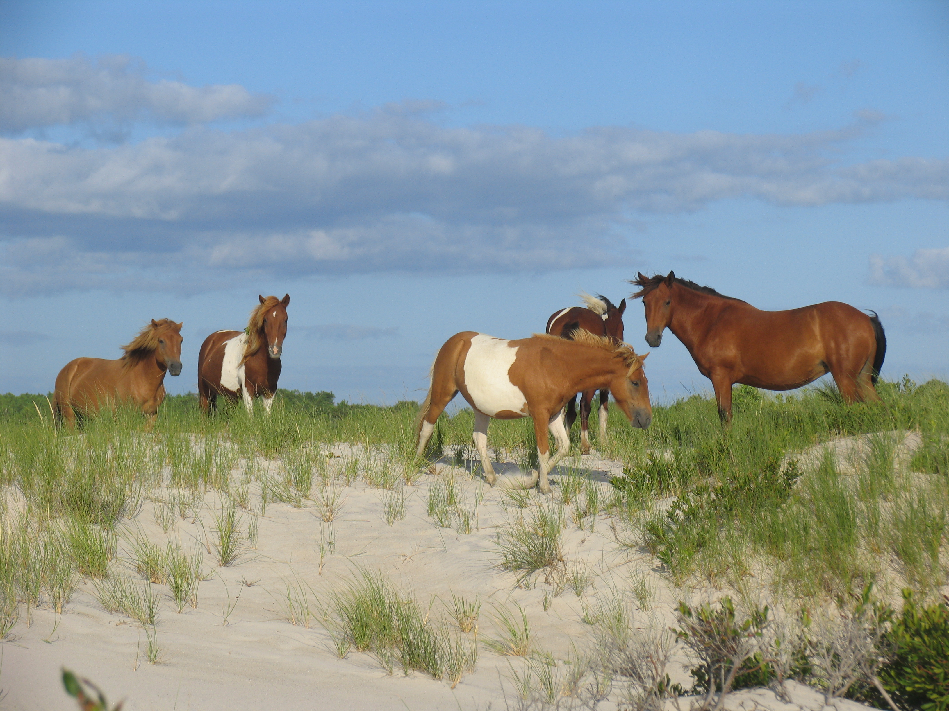
Assateague Island National Seashore
National Seashore
Want to live on the edge? Visit a place recreated each day by ocean wind and waves. Life on Assateague Island has adapted to an existence on the move. Explore sandy beaches, salt marshes, maritime for...
26 mi from route
~65 min detour
$25
near mile 103.2
View on nps.gov