The drive from Brownsville, TX to Kingsville, TX covers 120.3 miles and takes about 2h 17m behind the wheel.
This route is realistic as a one-day drive if you keep your stops efficient.
The route leans on U.S. Highway 77, North Expressway, I 69E for much of the mileage,
and the overall profile is highway-focused drive.
The longest uninterrupted segment is about 104.5 miles on U.S. Highway 77.
At current regular gas prices, budget about $18.18 one way before food or hotel costs.
Trip Pace
Same-day drive is realistic
A same-day return is realistic if you keep stops short.
Midpoint
60.2 miles from Brownsville, TX
A natural place for your longest stop of the day
, about 1h 8m into the drive
.
Located at the southernmost tip of Texas, Brownsville is a popular location for Mexican and American beach tourists. It is part of the Rio Grande Valley, a four-county region known for its abundance in citrus fruit production and Winter Texan population. The city features a combination of different climate regimes: Gulf Coast plains and the Great Plains. There is a lot to do in this city: historical museums, art galleries, beaches, birding locations and natural wildlife refuges. As Brownsville is a border town, its culture is predominantly Hispanic.
Doable as a same-day drive at 2h 17m. Total distance: 120.3 miles.
Family Friendly
Moderate complexity with 0 natural rest stops along the way.
Solo Traveler
2h 17m drive, comfortable solo distance.
First-Time Driver
Mostly highway driving (97%). Some complex stretches to watch for.
Drive Character
This is a 2h 17m highway drive covering 120.3 miles, with most of the trip on U.S. Highway 77 and North Expressway. The longest continuous stretch is about 104.5 miles on U.S. Highway 77.
Most of the miles stay on highways, which makes pacing and fuel planning easier than turn-by-turn city driving.
There are about 14 navigation steps in the underlying route data, so the final approach matters more than the middle miles.
U.S. Highway 77 is the longest continuous segment at about 104.5 miles.
How Hard Is This Drive?
This is a straightforward highway drive that stays mostly on U.S. Highway 77 and North Expressway. You will hit about 8 points where you need to pay attention to lane position or signs. The trickiest moment comes around 1.2 miles in near North Frontage Road.
Driving Effort5/10
Moderate - straightforward overall, but long enough or busy enough to require pacing
Balances navigation complexity with total wheel time.
This drive requires moderate attention. Across 120.3 miles you will encounter 8 spots where lane choice or exit timing matters. Not difficult for experienced highway drivers, but worth previewing the tricky sections before you go.
Where does it get tricky?
The main spots that need attention: at 1.2 miles (North Frontage Road): Navigation decision point; at 1.4 miles: Lane positioning matters here. Multiple destination signs - pick the right one; at 1.8 miles (I 69E; US 77; US 83 / North Expressway): Merge point - match speed before joining. Lane positioning matters here.
Critical Maneuvers
5 of 8 key points
These are the spots where you need to pay the most attention. Preview them before you drive.
4
1.2 mi into trip|~2m in|North Frontage Road
Turn left onto North Frontage Road
Navigation decision point
6
1.4 mi into trip|~2m in
Take the ramp toward I 69E North, US 77 North, US 83 North
Lane positioning matters here. Multiple destination signs - pick the right one
Use the left lane.
Toward I 69E North, US 77 North, US 83 North
5
1.8 mi into trip|~3m in|I 69E; US 77; US 83 / North Expressway
Merge onto I 69E; US 77; US 83 / North Expressway
Merge point - match speed before joining. Lane positioning matters here
Use the straight / slight right lanes.
4
114.4 mi into trip|~2h 9m in
Keep slight left at fork
Highway fork - watch signs carefully
4
118.3 mi into trip|~2h 13m in
Take the exit toward TX 425
Exit ramp - move to the correct lane early
Toward TX 425
Main Roads
Road
Distance
Duration
U.S. Highway 77
104.5 mi
1h 56m
North Expressway
10.6 mi
12m
I 69E
1.2 mi
1m
Senator Carlos Truan Boulevard
1 mi
1m
East 7th Street
0.9 mi
1m
South 14th Street
0.6 mi
<1m
East Washington Street
0.3 mi
<1m
North Frontage Road
0.2 mi
<1m
Longest stretch:
U.S. Highway 77
— 104.5 mi, about 1h 56m
Turn-by-Turn Driving Directions
Step-by-step road directions between Brownsville, TX and Kingsville, TX.
1
Start on US 77 Business
0.3 mi·40 sec·East Washington Street
2
Turn right onto East 7th Street
0.9 mi·1 min·East 7th Street
3
Turn left onto North Frontage Road
0.2 mi·20 sec·North Frontage Road
4
Take the ramp
0.4 mi·54 sec
Toward I 69E North, US 77 North, US 83 NorthUse the left lane.
5
Merge onto I 69E; US 77; US 83
11 mi·12 min·North Expressway
Use the straight / slight right lanes.
6
Continue on I 69E; US 77; US 83
102 mi·1 hr 53 min·U.S. Highway 77
Use the straight / slight right lanes.
7
Keep slight left at fork
0.2 mi·14 sec
8
Merge onto I 69E; US 77
1.2 mi·1 min·I 69E; US 77
9
Continue on U.S. Highway 77
2.5 mi·2 min·U.S. Highway 77
10
Take the exit
0.2 mi·20 sec
Toward TX 425
11
Turn straight onto South US Highway 77 Bypass
0.2 mi·25 sec·South US Highway 77 Bypass
12
Turn left onto FM 425
1.0 mi·1 min·Senator Carlos Truan Boulevard
13
Turn right onto US 77 Business
0.6 mi·59 sec·South 14th Street
14
Arrive at destination
US 77 Business
Trip Plan
Morning Departure
Leave by 9 AM and you'll arrive before lunch.
Evening Departure
Even a 4 PM departure gets you there before dark in summer.
You can normally do this drive in one day.
You may only need one short stretch break if traffic stays light.
The halfway point lands around 60.2 miles from Brownsville, TX, or about 1h 8m into the drive.
The longest continuous stretch on this route runs about 104.5 miles.
This is a comfortable same-day trip.
Departure
Before you leave
Start with fuel, water, and navigation already sorted so the first hour feels easy.
First stop
Around 26 miles or 30m in
Use this first pause for coffee, a restroom break, and a quick traffic check ahead.
Halfway reset
Around 60.2 miles or 1h 8m in
This is the best place for your longest stop, a real meal, and a full fuel check.
Final approach
Final hour starts around 1h 51m
Traffic, exits, and arrival timing usually matter more near Kingsville, TX than in the middle of the route.
Before You Leave
+
Open the route before leaving Brownsville, TX so your first major turns are already loaded.
+
Leave with enough water and a charging cable within reach, not packed away.
+
Check your fuel range against the first long segment, especially if you are starting outside city service areas.
Day 1
Settle into the route from Brownsville, TX
This is one driving day of about 120.3 miles and 2h 17m.
Your first comfortable stop window is around 26 miles from Brownsville, TX.
This route can stay practical as a one-day drive if traffic stays reasonable.
The longest stretch is on U.S. Highway 77 for about 104.5 miles.
Where to Stop
Rest stops, refuel points, and overnight suggestions along this route.
Halfway Point
Midpoint
About 60.2 mi from Brownsville, TX
· 1h 8m into the drive
The midpoint is around 60.2 miles from Brownsville, TX, which is a good place for a longer meal and fuel stop.
Before the longest stretch
Fuel check
Top up before U.S. Highway 77 if your tank is already low. That segment runs about 104.5 miles.
Arriving in Kingsville, TX
The final approach into Kingsville, TX usually feels slower than the middle of the drive, so avoid planning your tightest schedule at the very end.
Try to arrive with enough fuel left to skip an immediate station stop unless you already know the area around Kingsville, TX.
After long uninterrupted mileage, take five minutes before the last urban segment to reset and refocus on exits, merges, and city traffic.
These stop ideas are pacing suggestions — the exact town or exit can change with traffic, hotel plans, and fuel range.
National Parks Near This Route
Worth a detour if your schedule allows.
Palo Alto Battlefield National Historical Park
National Historical Park
On May 8, 1846, U.S. and Mexican troops clashed on the prairie of Palo Alto. The battle was the first in a two-year long war that changed the map of North America. Although the two countries have deve...
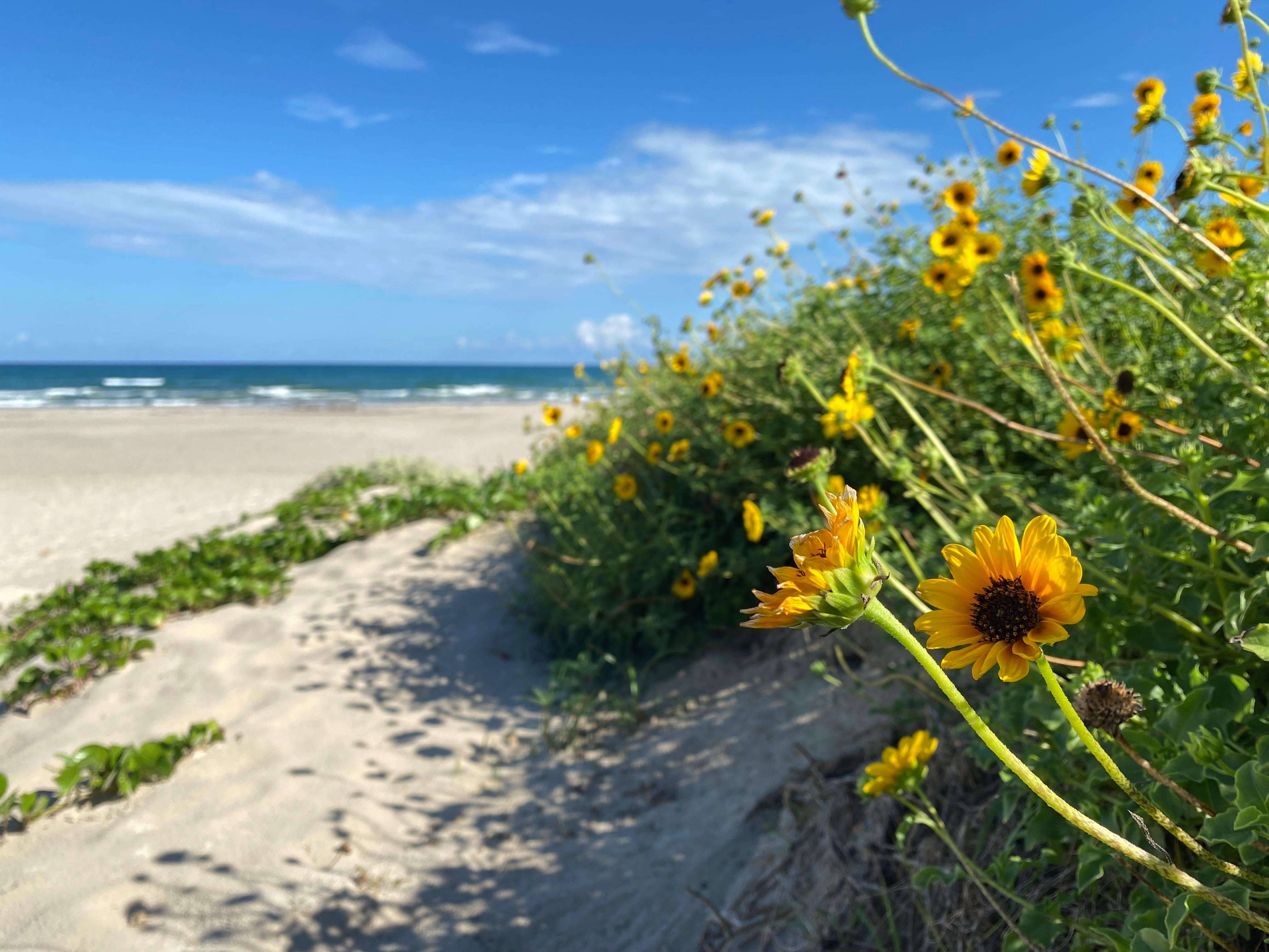
Protecting sixty-six miles of wild coastline along the Gulf of America, the narrow barrier island is home to one of the last intact coastal prairie habitats in the United States. Along the hypersaline...
27 mi from route
~67 min detour
$25
near mile 87.1
Park data from the National Park Service API. Alerts update every 2 hours.
Fuel & Cost
Regular Gas
$18.18 one way
$36.36 round trip
$3.84/gal25.4 MPG avg42 kg CO2
Fuel Type
$/gal
One Way
Round Trip
midgrade
$4.20
$19.90
$39.79
premium
$4.54
$21.48
$42.96
diesel
$5.61
$26.56
$53.12
No toll roads detected on this route.
Estimated Trip Cost (one way, 1 person)
Fuel
$18
Meals
$25–$50
Total
$43–$68
Rough estimate based on US averages. Hotel $80–$140/night, meals $25–$50/day.
Estimated CO2 emission: 42.1 kg one way.
Prices: EIA weekly data, 2026-04-13.
Driving Electric?
About $13 in charging
· 0 stops
· 67% less CO2
Vehicle Type
kWh
Stops
DC Fast
Home Charge
Average EV
36.1
0
$12.63
$5.77
Efficient EV
30.1
0
$10.53
$4.81
EV Truck/SUV
48.1
0
$16.84
$7.70
Gas CO2
42 kg
EV CO2
14 kg (67% less)
This trip is well within single-charge range for most EVs. No charging stops needed if you start fully charged.
DC fast charging avg $0.35/kWh. Home charging avg $0.16/kWh. US grid CO2: 0.39 kg/kWh.
Travel Intel
Current conditions at both ends of the drive.
Forecast as of Jun 23, 2022
Origin
Brownsville, TX
Late night
in Brownsville on Saturday
Local time
12:53 AM
CDT
Current temp
79°F
Unavailable
Live forecast
Destination
Kingsville, TX
Late night
in Kingsville on Saturday
Local time
12:53 AM
CDT
Current temp
66°F
Unavailable
Live forecast
Seasonal Notes
Summer travel usually means heavier construction, hotter rest stops, and busier weekend traffic around major cities.
Winter travel shortens daylight, so a route that looks manageable on paper can feel much longer after dark.
Holiday weekends tend to make both departure and arrival windows slower than the raw route time suggests.
Time zone
Same local time
Origin and destination are on the same clock, so arrival timing is easier to judge at a glance.
Temperature spread
13 degrees cooler at arrival
A meaningful temperature swing is a good cue to rethink layers, water, and how soon you want to arrive.
Road read
2h 17m on the road
Use the two city cards together: check the sky where you start, then compare it with the local time and temperature at arrival.
Weather data from the National Weather Service. Conditions may change; check closer to your travel date.
Frequently Asked Questions
The drive from Brownsville, TX to Kingsville, TX covers 120.3 miles and takes about 2h 17m without stops. Add 15-30 minutes for a fuel or rest stop on longer drives.
The main roads are U.S. Highway 77, North Expressway, I 69E. Most of the drive stays on highways, so watch for ramps and exits.
This is a comfortable same-day trip.
The midpoint is about 60.2 miles from Brownsville, TX. Look for rest areas, gas stations, or food options near the halfway mark.
At current regular gas prices, expect to spend about $18.18 one way. This estimate uses 25.4 MPG — your actual cost will vary with your vehicle's fuel efficiency and current gas prices.
Leave by 9 AM and you'll arrive before lunch. Even a 4 PM departure gets you there before dark in summer.
This drive requires moderate attention. Across 120.3 miles you will encounter 8 spots where lane choice or exit timing matters. Not difficult for experienced highway drivers, but worth previewing the tricky sections before you go.
The main spots that need attention: at 1.2 miles (North Frontage Road): Navigation decision point; at 1.4 miles: Lane positioning matters here. Multiple destination signs - pick the right one; at 1.8 miles (I 69E; US 77; US 83 / North Expressway): Merge point - match speed before joining. Lane positioning matters here.
The route from Brownsville, TX to Kingsville, TX does not surface many named destination signs beyond the main corridor.
Yes. Nearby national parks include Palo Alto Battlefield National Historical Park and Padre Island National Seashore.
How this page is built
Compiled by the Trip.ovh planning team at COD Solutions Oy from open government datasets — OSRM over OpenStreetMap for geometry, EIA for fuel prices, and NPS for national parks. See our methodology for refresh cadence and limitations.