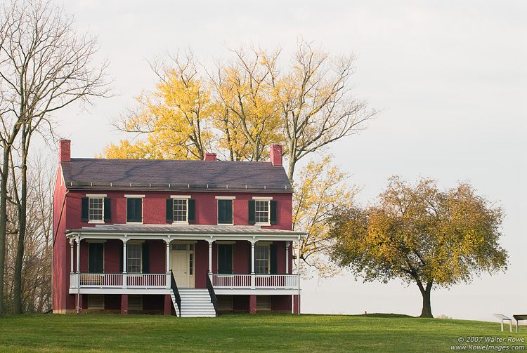
Antietam National Battlefield
National Battlefield
23,000 soldiers were killed, wounded or missing after twelve hours of savage combat on September 17, 1862. The Battle of Antietam ended the Confederate Army of Northern Virginia's first invasion into...
2 mi from route
~6 min detour
$20
near mile 67.8
View on nps.gov