The drive from Deenwood, GA to Columbus, GA covers 195.9 miles and takes about 4h 16m behind the wheel.
This route is realistic as a one-day drive if you keep your stops efficient.
The route leans on US 82, Martha Berry Highway, Richland Bypass for much of the mileage,
and the overall profile is highway-focused drive.
The longest uninterrupted segment is about 99.8 miles on US 82.
At current regular gas prices, budget about $30.63 one way before food or hotel costs.
Trip Pace
Same-day drive is realistic
A same-day return is possible, but it will make for a full day on the road.
Break Rhythm
1 planned break
Plan on a short reset every 3 to 4 hours to stay fresh behind the wheel.
Midpoint
97.9 miles from Deenwood, GA
A natural place for your longest stop of the day
, about 2h 8m into the drive
.
Who Is This Route For?
Weekend Trip
Doable as a same-day drive at 4h 16m. Total distance: 195.9 miles.
Family Friendly
Moderate complexity with 1 natural rest stops along the way.
Solo Traveler
4h 16m drive, comfortable solo distance.
First-Time Driver
Mostly highway driving (63%). Some complex stretches to watch for.
Drive Character
This is a 4h 16m highway drive covering 195.9 miles, with most of the trip on US 82 and Martha Berry Highway. The longest continuous stretch is about 99.8 miles on US 82.
Most of the miles stay on highways, which makes pacing and fuel planning easier than turn-by-turn city driving.
There are about 36 navigation steps in the underlying route data, so the final approach matters more than the middle miles.
US 82 is the longest continuous segment at about 99.8 miles.
Elevation Profile
Mostly flat terrain
373 ft140 ft
Total Climb
382 ft
Total Descent
282 ft
Highest Point
373 ft
~84 mi in
Elevation Range
233 ft
How Hard Is This Drive?
This is a straightforward highway drive that stays mostly on US 82 and Martha Berry Highway. You will hit about 9 points where you need to pay attention to lane position or signs. The trickiest moment comes around 0.1 miles in near Albany Avenue.
Driving Effort5/10
Moderate - straightforward overall, but long enough or busy enough to require pacing
Balances navigation complexity with total wheel time.
This drive requires moderate attention. Across 195.9 miles you will encounter 9 spots where lane choice or exit timing matters. Not difficult for experienced highway drivers, but worth previewing the tricky sections before you go.
Where does it get tricky?
The main spots that need attention: at 0.1 miles (Albany Avenue): Lane positioning matters here; at 2.9 miles (Fulford Road): Navigation decision point; at 3.3 miles (US 82; GA 520 / South Georgia Parkway): Lane positioning matters here.
Critical Maneuvers
5 of 9 key points
These are the spots where you need to pay the most attention. Preview them before you drive.
5
0.1 mi into trip|~0m in|Albany Avenue
Turn left onto Albany Avenue
Lane positioning matters here
Use the left lane.
3
2.9 mi into trip|~5m in|Fulford Road
Turn right onto Fulford Road
Navigation decision point
4
3.3 mi into trip|~6m in|US 82; GA 520 / South Georgia Parkway
Turn left onto US 82; GA 520 / South Georgia Parkway
Lane positioning matters here
Use the left lane.
4
151.2 mi into trip|~3h 17m in|GA 520
Keep slight left at fork onto GA 520
Highway fork - watch signs carefully
5
194.9 mi into trip|~4h 14m in|6th Avenue
Turn right onto 6th Avenue
Lane positioning matters here
Use the right lane.
Main Roads
Road
Distance
Duration
US 82
99.8 mi
2h 10m
Martha Berry Highway
16.3 mi
23m
Richland Bypass
15.4 mi
17m
Albany Highway
12 mi
14m
South Parrott Street
8.7 mi
10m
GA 520
8.3 mi
9m
Liberty Expressway
8.2 mi
10m
Columbus Highway
8 mi
9m
Longest stretch:
US 82
— 99.8 mi, about 2h 10m
Turn-by-Turn Driving Directions
Step-by-step road directions between Deenwood, GA and Columbus, GA.
1
Start on Augusta Avenue
0.1 mi·19 sec·Augusta Avenue
2
Turn left onto Albany Avenue
2.8 mi·4 min·Albany Avenue
Use the left lane.
3
Turn right onto Fulford Road
0.5 mi·49 sec·Fulford Road
4
Turn left onto US 82; GA 520
3.3 mi·3 min·South Georgia Parkway
Use the left lane.
5
Continue on US 82; GA 520
6.6 mi·7 min·Albany Highway
6
Continue on US 82; GA 520
3.4 mi·3 min·US 82; GA 520
7
Continue on US 82; GA 520
5.1 mi·6 min·US 82; GA 520
8
Continue on US 82; GA 520
4.6 mi·5 min·US 82; GA 520
9
Continue on US 82; GA 520
4.5 mi·6 min·US 82; GA 520
Use the straight / right lanes.
10
Continue on US 82; GA 520
21 mi·24 min·US 82; GA 520
11
Continue on US 82; GA 520
0.7 mi·1 min·US 82; GA 520
12
Continue on US 82; US 129; GA 11; GA 520
1.1 mi·1 min·US 82; US 129; GA 11; GA 520
13
Continue on US 82; GA 520
15 mi·18 min·US 82; GA 520
Use the straight / slight right lanes.
14
Continue on US 82; US 319; GA 35; GA 520
2.8 mi·5 min·US 82; US 319; GA 35; GA 520
Use the straight lane.
15
Continue on US 82; GA 520
32 mi·43 min·US 82; GA 520
Use the straight / right lanes.
16
Turn straight onto US 82; GA 520
5.2 mi·7 min·Clark Avenue
17
Take the exit onto US 82; GA 520
0.5 mi·1 min·US 82; GA 520
18
Merge onto US 19; US 82; GA 3; GA 133; GA 520
8.2 mi·10 min·Liberty Expressway
19
Continue on US 82; GA 520
9.5 mi·12 min·US 82; GA 520
Use the straight lane.
20
Turn straight onto US 82; GA 520
5.4 mi·6 min·Albany Highway
21
Continue on US 82; GA 520
1.1 mi·1 min·Forrester Drive Southeast
22
Continue on US 82; GA 520
0.6 mi·1 min·Rountree Drive Southwest
Use the straight / right lanes.
23
Continue on GA 45; GA 520
0.3 mi·31 sec·Vine Street Northwest
Use the straight / right lanes.
24
Continue on GA 45; GA 520
0.2 mi·27 sec·Roundtree Drive
25
Continue on GA 45; GA 520
0.5 mi·43 sec·Martin Luther King Jr Drive
26
Continue on GA 45; GA 520
8.0 mi·9 min·Columbus Highway
27
Continue on GA 520
8.7 mi·10 min·South Parrott Street
28
Keep slight left at fork onto GA 520
8.3 mi·9 min·GA 520
29
Continue on GA 520
15 mi·17 min·Richland Bypass
Use the straight lane.
30
Continue on US 280; GA 520
3.3 mi·3 min·US 280; GA 520
Use the straight / right lanes.
31
Continue on US 27; US 280; GA 1; GA 520
16 mi·23 min·Martha Berry Highway
Use the straight / right lanes.
32
Continue on US 27; US 280; GA 1; GA 520
0.5 mi·1 min·4th Street
33
Turn right onto 6th Avenue
0.7 mi·1 min·6th Avenue
Use the right lane.
34
Turn left onto 9th Street
0.2 mi·40 sec·9th Street
35
Turn left onto US 27; GA 1
0.1 mi·25 sec·Veterans Parkway
36
Arrive at destination
US 27; GA 1
Trip Plan
Morning Departure
An early start around 7-8 AM gets you there with plenty of daylight left.
Evening Departure
A late afternoon start means arriving after dark. Morning is better.
You can normally do this drive in one day.
Plan roughly 1 meaningful break for fuel, food, and rest.
The halfway point lands around 97.9 miles from Deenwood, GA, or about 2h 8m into the drive.
The longest continuous stretch on this route runs about 99.8 miles.
This is a comfortable same-day trip.
Departure
Before you leave
Start with fuel, water, and navigation already sorted so the first hour feels easy.
First stop
Around 43 miles or 54m in
Use this first pause for coffee, a restroom break, and a quick traffic check ahead.
Halfway reset
Around 97.9 miles or 2h 8m in
This is the best place for your longest stop, a real meal, and a full fuel check.
Final approach
Final hour starts around 3h 28m
Traffic, exits, and arrival timing usually matter more near Columbus, GA than in the middle of the route.
Before You Leave
+
Open the route before leaving Deenwood, GA so your first major turns are already loaded.
+
Leave with enough water and a charging cable within reach, not packed away.
+
Check your fuel range against the first long segment, especially if you are starting outside city service areas.
Day 1
Settle into the route from Deenwood, GA
This is one driving day of about 195.9 miles and 4h 16m.
Your first comfortable stop window is around 43 miles from Deenwood, GA.
This route can stay practical as a one-day drive if traffic stays reasonable.
Plan about 1 real break rather than only quick fuel stops.
The longest stretch is on US 82 for about 99.8 miles.
Where to Stop
Rest stops, refuel points, and overnight suggestions along this route.
Halfway Point
Midpoint
About 97.9 mi from Deenwood, GA
· 2h 8m into the drive
The midpoint is around 97.9 miles from Deenwood, GA, which is a good place for a longer meal and fuel stop.
Before the longest stretch
Fuel check
Top up before US 82 if your tank is already low. That segment runs about 99.8 miles.
Arriving in Columbus, GA
The final approach into Columbus, GA usually feels slower than the middle of the drive, so avoid planning your tightest schedule at the very end.
Try to arrive with enough fuel left to skip an immediate station stop unless you already know the area around Columbus, GA.
These stop ideas are pacing suggestions — the exact town or exit can change with traffic, hotel plans, and fuel range.
National Parks Near This Route
Worth a detour if your schedule allows.
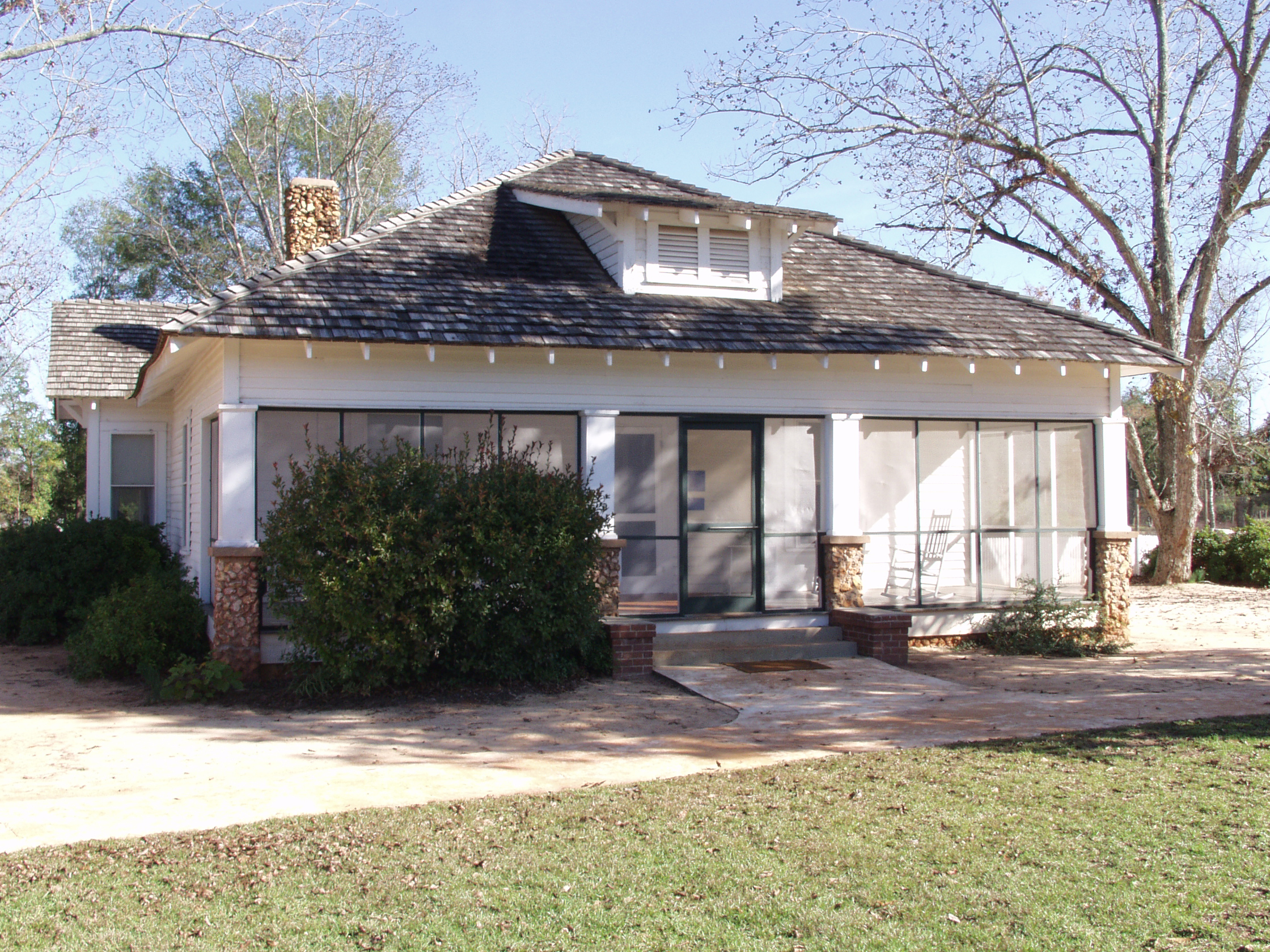
Jimmy Carter National Historical Park
National Historical Park
Few U.S. Presidents have had such close ties with where they were born and raised. The rural southern culture of Plains, Georgia revolves around farming, church, and school, which had a large influenc...
12 mi from route
~31 min detour
Free
near mile 141.9
Park data from the National Park Service API. Alerts update every 2 hours.
Fuel & Cost
Regular Gas
$30.63 one way
$61.27 round trip
$3.97/gal25.4 MPG avg69 kg CO2
Fuel Type
$/gal
One Way
Round Trip
midgrade
$4.34
$33.50
$66.99
premium
$4.70
$36.26
$72.51
diesel
$5.61
$43.25
$86.50
No toll roads detected on this route.
Estimated Trip Cost (one way, 1 person)
Fuel
$31
Meals
$25–$50
Total
$56–$81
Rough estimate based on US averages. Hotel $80–$140/night, meals $25–$50/day.
Estimated CO2 emission: 68.5 kg one way.
Prices: EIA weekly data, 2026-04-13.
Driving Electric?
About $21 in charging
· 0 stops
· 67% less CO2
Vehicle Type
kWh
Stops
DC Fast
Home Charge
Average EV
58.8
0
$20.57
$9.40
Efficient EV
49
0
$17.14
$7.84
EV Truck/SUV
78.4
0
$27.43
$12.54
Gas CO2
69 kg
EV CO2
23 kg (67% less)
This trip is well within single-charge range for most EVs. No charging stops needed if you start fully charged.
DC fast charging avg $0.35/kWh. Home charging avg $0.16/kWh. US grid CO2: 0.39 kg/kWh.
Travel Intel
Current conditions at both ends of the drive.
Forecast as of Apr 13, 2026
Origin
Deenwood, GA
Morning
in Deenwood on Friday
Local time
11:35 AM
EDT
Current temp
53°F
Mostly Clear
SE 2 mph0% chanceLive forecast
Red Flag Warning
Red Flag Warning issued April 13 at 4:41AM EDT until April 13 at 8:00PM EDT by NWS Peachtree City GA
Red Flag Warning
Red Flag Warning issued April 13 at 3:28AM EDT until April 13 at 8:00PM EDT by NWS Greenville-Spartanburg SC
Destination
Columbus, GA
Morning
in Columbus on Friday
Local time
11:35 AM
EDT
Current temp
56°F
Partly Cloudy
0 mph0% chanceLive forecast
Red Flag Warning
Red Flag Warning issued April 13 at 4:41AM EDT until April 13 at 8:00PM EDT by NWS Peachtree City GA
Red Flag Warning
Red Flag Warning issued April 13 at 3:28AM EDT until April 13 at 8:00PM EDT by NWS Greenville-Spartanburg SC
54°F
Albany, GA
98 mi in
Seasonal Notes
Summer travel usually means heavier construction, hotter rest stops, and busier weekend traffic around major cities.
Winter travel shortens daylight, so a route that looks manageable on paper can feel much longer after dark.
Holiday weekends tend to make both departure and arrival windows slower than the raw route time suggests.
Time zone
Same local time
Origin and destination are on the same clock, so arrival timing is easier to judge at a glance.
Temperature spread
3 degrees warmer at arrival
A meaningful temperature swing is a good cue to rethink layers, water, and how soon you want to arrive.
Road read
4h 16m on the road
An early start around 7-8 AM gets you there with plenty of daylight left.
Weather data from the National Weather Service. Conditions may change; check closer to your travel date.
Frequently Asked Questions
The drive from Deenwood, GA to Columbus, GA covers 195.9 miles and takes about 4h 16m without stops. Add 15-30 minutes for a fuel or rest stop on longer drives.
The main roads are US 82, Martha Berry Highway, Richland Bypass. Most of the drive stays on highways, so watch for ramps and exits.
This is a comfortable same-day trip.
The midpoint is about 97.9 miles from Deenwood, GA. Look for rest areas, gas stations, or food options near the halfway mark.
At current regular gas prices, expect to spend about $30.63 one way. This estimate uses 25.4 MPG — your actual cost will vary with your vehicle's fuel efficiency and current gas prices.
An early start around 7-8 AM gets you there with plenty of daylight left. A late afternoon start means arriving after dark. Morning is better.
Plan about 1 meaningful break for fuel, food, or rest. Plan on a short reset every 3 to 4 hours to stay fresh behind the wheel.
This drive requires moderate attention. Across 195.9 miles you will encounter 9 spots where lane choice or exit timing matters. Not difficult for experienced highway drivers, but worth previewing the tricky sections before you go.
The main spots that need attention: at 0.1 miles (Albany Avenue): Lane positioning matters here; at 2.9 miles (Fulford Road): Navigation decision point; at 3.3 miles (US 82; GA 520 / South Georgia Parkway): Lane positioning matters here.
The route from Deenwood, GA to Columbus, GA does not surface many named destination signs beyond the main corridor.
Mostly flat terrain. The route ranges from 140 ft to 373 ft elevation with about 382 ft of total climbing.
Yes. Nearby national parks include Jimmy Carter National Historical Park.