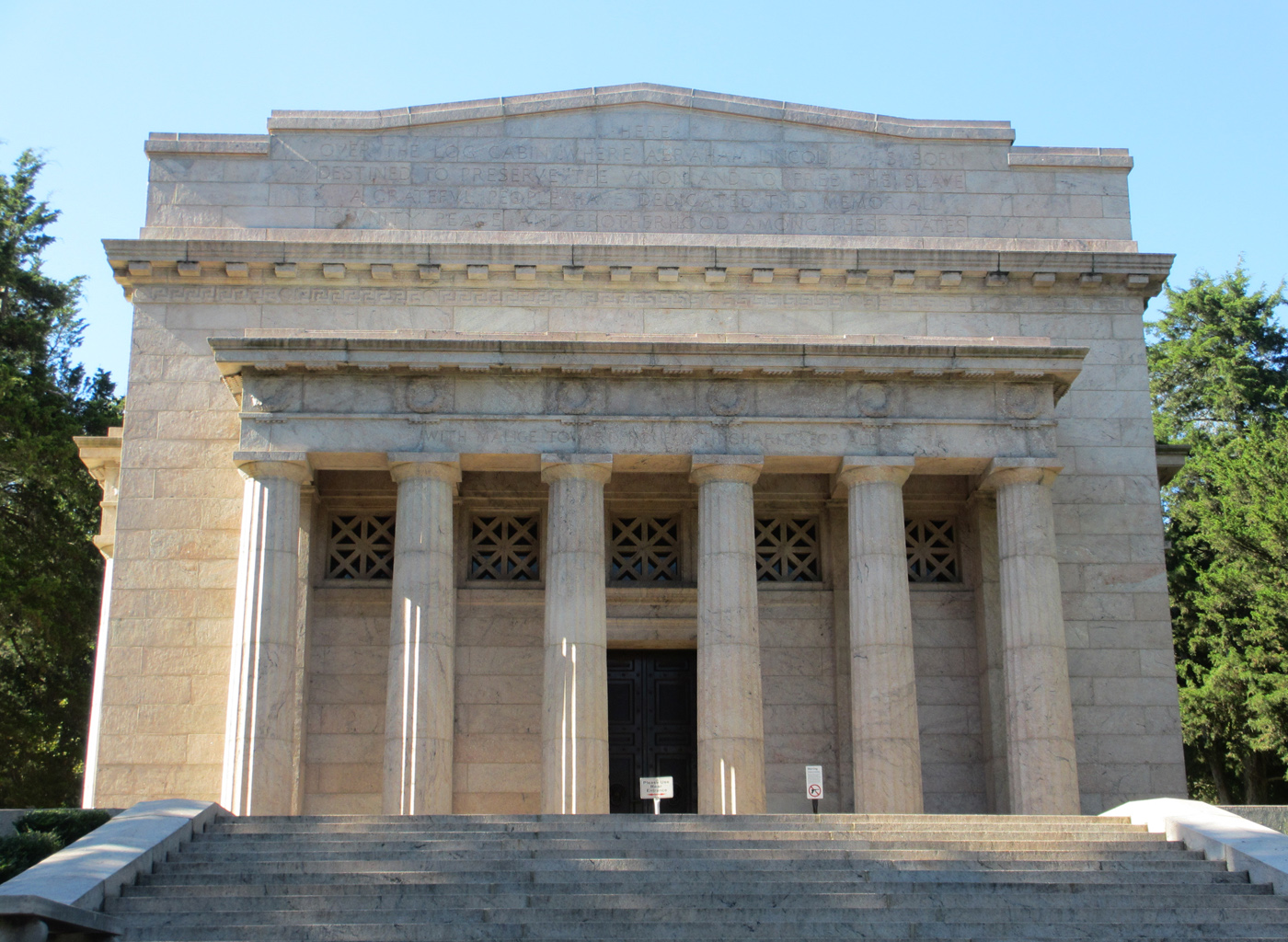
Abraham Lincoln Birthplace National Historical Park
National Historical Park
For over a century people from around the world have come to rural Central Kentucky to honor the humble beginnings of our 16th president, Abraham Lincoln. His early life on Kentucky's frontier shaped...
12 mi from route
~29 min detour
Free
near mile 139.3
View on nps.gov