The drive from Fayetteville, NC to Buxton, NC covers 267.6 miles and takes about 5h 54m behind the wheel.
This route is realistic as a one-day drive if you keep your stops efficient.
The route leans on North Eastern Boulevard, US 64, United States Highway 64 East for much of the mileage,
and the overall profile is highway-focused drive.
The longest uninterrupted segment is about 57.3 miles on North Eastern Boulevard.
At current regular gas prices, budget about $41.85 one way before food or hotel costs.
Trip Pace
Same-day drive is realistic
A same-day return is possible, but it will make for a full day on the road.
Break Rhythm
1 planned break
Plan on a short reset every 3 to 4 hours to stay fresh behind the wheel.
Midpoint
133.8 miles from Fayetteville, NC
A natural place for your longest stop of the day
, about 2h 46m into the drive
.
Who Is This Route For?
Weekend Trip
Doable as a same-day drive at 5h 54m. Total distance: 267.6 miles.
Family Friendly
Moderate complexity with 1 natural rest stops along the way.
Solo Traveler
5h 54m drive, comfortable solo distance.
Drive Character
This is a 5h 54m highway drive covering 267.6 miles, with most of the trip on North Eastern Boulevard and US 64. The longest continuous stretch is about 57.3 miles on North Eastern Boulevard.
Most of the miles stay on highways, which makes pacing and fuel planning easier than turn-by-turn city driving.
There are about 30 navigation steps in the underlying route data, so the final approach matters more than the middle miles.
North Eastern Boulevard is the longest continuous segment at about 57.3 miles.
How Hard Is This Drive?
This is a straightforward highway drive that stays mostly on North Eastern Boulevard and US 64. You will hit about 21 points where you need to pay attention to lane position or signs. The trickiest moment comes around 0.3 miles in near Person Street.
Driving Effort6/10
Moderate - straightforward overall, but long enough or busy enough to require pacing
Balances navigation complexity with total wheel time.
This drive requires moderate attention. Across 267.6 miles you will encounter 21 spots where lane choice or exit timing matters. Not difficult for experienced highway drivers, but worth previewing the tricky sections before you go.
Where does it get tricky?
The main spots that need attention: at 0.3 miles (Person Street): Roundabout - know your exit number before entering; at 0.6 miles (B Street): Roundabout - know your exit number before entering; at 0.9 miles (NC 24; NC 210 / Grove Street): Lane positioning matters here.
Critical Maneuvers
5 of 21 key points
These are the spots where you need to pay the most attention. Preview them before you drive.
5
0.3 mi into trip|~0m in|Person Street
Enter roundabout onto Person Street
Roundabout - know your exit number before entering
5
0.6 mi into trip|~0m in|B Street
Enter roundabout onto B Street
Roundabout - know your exit number before entering
6
0.9 mi into trip|~1m in|NC 24; NC 210 / Grove Street
Turn right onto NC 24; NC 210 / Grove Street
Lane positioning matters here
Use the straight / right lanes.
5
58.4 mi into trip|~1h 8m in
Take the exit toward US 301: Kenly, Wilson
Exit ramp - move to the correct lane early. Multiple destination signs - pick the right one
Toward US 301: Kenly, Wilson
6
130 mi into trip|~2h 40m in|US 64 ALT
Turn right onto US 64 ALT
Lane positioning matters here
Use the straight lane.
Towns Mentioned on Route Signs
Based on OSRM destination-sign hints, not a full list of every settlement the road passes.
On the drive from Fayetteville, NC to Buxton, NC, road signs begin pointing toward Wilson along the way.
Wilson
58.4 mi in|~1h 8m
Main Roads
Road
Distance
Duration
North Eastern Boulevard
57.3 mi
1h 6m
US 64
47.7 mi
59m
United States Highway 64 East
40.5 mi
49m
NC 12
24.6 mi
42m
Cape Hatteras National Park Road
23.6 mi
33m
US 64 ALT
20.2 mi
28m
South Church Street
11.8 mi
17m
NC 42
11.2 mi
15m
Longest stretch:
North Eastern Boulevard
— 57.3 mi, about 1h 6m
Turn-by-Turn Driving Directions
Step-by-step road directions between Fayetteville, NC and Buxton, NC.
1
Start on Market Square
262 ft·6 sec·Market Square
2
Continue on Person Street
0.2 mi·20 sec·Person Street
3
Continue on Person Street
0.3 mi·30 sec·Person Street
4
Enter roundabout onto B Street
121 ft·2 sec·B Street
5
Continue on B Street
0.3 mi·37 sec·B Street
6
Turn right onto NC 24; NC 210
0.2 mi·24 sec·Grove Street
Use the straight / right lanes.
7
Turn left onto I 95 Business; US 301
57 mi·1 hr 6 min·North Eastern Boulevard
Use the left lane.
8
Take the exit
0.3 mi·35 sec
Toward US 301: Kenly, Wilson
9
Turn right onto US 301
12 mi·17 min·South Church Street
10
Take the exit
0.3 mi·45 sec
11
Merge onto I 587; US 264
11 mi·11 min·I 587; US 264
12
Take the exit
0.3 mi·48 sec
Exit 35
13
Turn left onto NC 111; NC 222
0.2 mi·24 sec·NC 111; NC 222
14
Turn left onto NC 111
7.4 mi·10 min·Good News Church Road
15
Turn right onto NC 124
7.5 mi·10 min·NC 124
16
Turn right onto NC 42
11 mi·15 min·NC 42
17
Take the ramp
0.3 mi·38 sec
18
Merge onto US 64
22 mi·23 min·US 64
19
Turn right onto US 64 ALT
20 mi·28 min·US 64 ALT
Use the straight lane.
20
Continue on US 64; NC 32
1.0 mi·1 min·United States Highway 64 East
21
Continue on US 64; NC 32
2.3 mi·3 min·U.S. Highway 64 East
22
Continue on US 64
40 mi·47 min·United States Highway 64 East
Use the straight lane.
23
Keep slight right at fork onto US 64
26 mi·35 min·US 64
24
Continue on US 64; SR 1540
0.2 mi·15 sec·South Virginia Dare Trail
25
Turn right onto NC 12
24 mi·33 min·Cape Hatteras National Park Road
26
Enter roundabout onto NC 12
71 ft·1 sec·NC 12
27
Continue on NC 12
25 mi·42 min·NC 12
Use the straight / right lanes.
28
Turn left
99 ft·8 sec
29
Turn right
12 ft·1 sec
30
Arrive at destination
Trip Plan
Morning Departure
An early start around 7-8 AM gets you there with plenty of daylight left.
Evening Departure
A late afternoon start means arriving after dark. Morning is better.
You can normally do this drive in one day.
Plan roughly 1 meaningful break for fuel, food, and rest.
The halfway point lands around 133.8 miles from Fayetteville, NC, or about 2h 46m into the drive.
The longest continuous stretch on this route runs about 57.3 miles.
This is a comfortable same-day trip.
Departure
Before you leave
Start with fuel, water, and navigation already sorted so the first hour feels easy.
First stop
Around 59 miles or 1h 9m in
Use this first pause for coffee, a restroom break, and a quick traffic check ahead.
Halfway reset
Around 133.8 miles or 2h 46m in
This is the best place for your longest stop, a real meal, and a full fuel check.
Final approach
Final hour starts around 4h 38m
Traffic, exits, and arrival timing usually matter more near Buxton, NC than in the middle of the route.
Before You Leave
+
Open the route before leaving Fayetteville, NC so your first major turns are already loaded.
+
Leave with enough water and a charging cable within reach, not packed away.
+
Check your fuel range against the first long segment, especially if you are starting outside city service areas.
Day 1
Settle into the route from Fayetteville, NC
This is one driving day of about 267.6 miles and 5h 54m.
Your first comfortable stop window is around 59 miles from Fayetteville, NC.
This route can stay practical as a one-day drive if traffic stays reasonable.
Plan about 1 real break rather than only quick fuel stops.
The longest stretch is on North Eastern Boulevard for about 57.3 miles.
Where to Stop
Rest stops, refuel points, and overnight suggestions along this route.
Halfway Point
Midpoint
About 133.8 mi from Fayetteville, NC
· 2h 46m into the drive
The midpoint is around 133.8 miles from Fayetteville, NC, which is a good place for a longer meal and fuel stop.
Arriving in Buxton, NC
The final approach into Buxton, NC usually feels slower than the middle of the drive, so avoid planning your tightest schedule at the very end.
Try to arrive with enough fuel left to skip an immediate station stop unless you already know the area around Buxton, NC.
These stop ideas are pacing suggestions — the exact town or exit can change with traffic, hotel plans, and fuel range.
National Parks Near This Route
Worth a detour if your schedule allows.
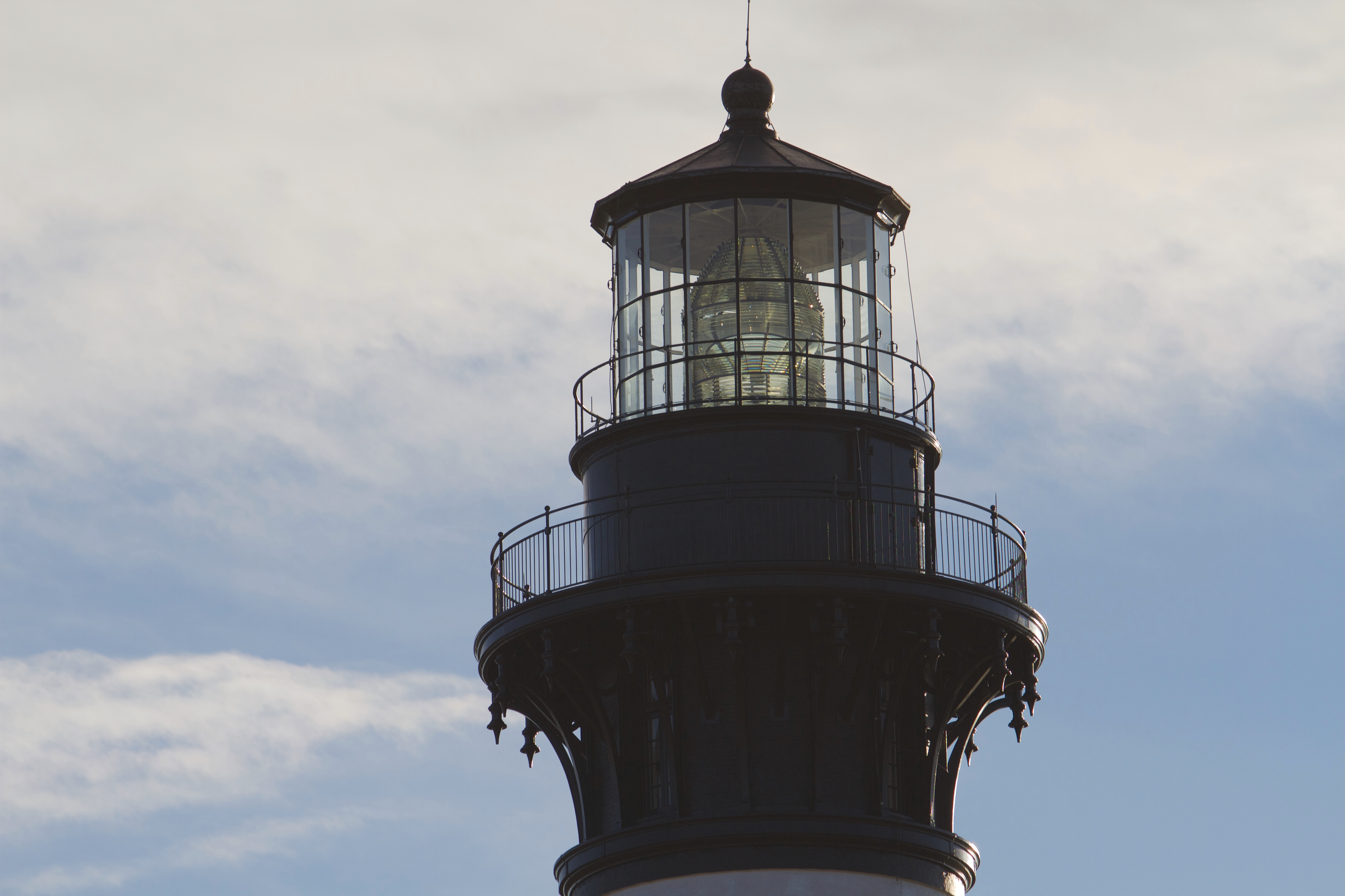
Cape Hatteras National Seashore
National Seashore
The sound of ocean waves, the starry night sky, or the calm of the salt marshes, you can experience it all. Shaped by the forces of water, wind, and storms these islands are ever changing. The plants,...
9 mi from route
~23 min detour
Free
near mile 258.4
Park Closure: Beach fires temporarily banned due to dry conditions and statewide burn ban
Park Closure: Beach safety closure in place from Buxton Village to near Ramp 43
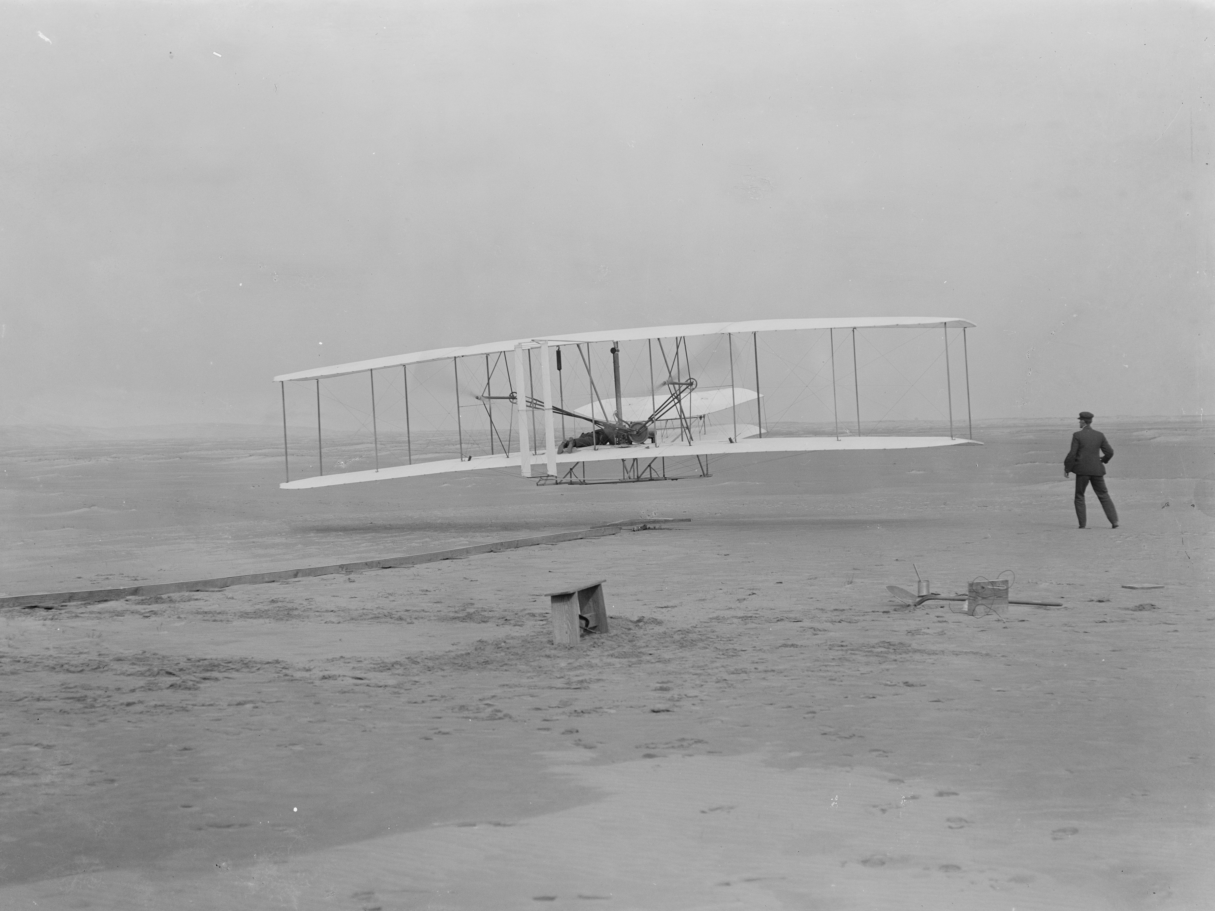
Wind, sand, and a dream of flight brought Wilbur and Orville Wright to Kitty Hawk, North Carolina where, after four years of scientific experimentation, they achieved the first successful airplane fli...
9 mi from route
~24 min detour
$10
near mile 212.2
Park data from the National Park Service API. Alerts update every 2 hours.
Fuel & Cost
Regular Gas
$41.85 one way
$83.69 round trip
$3.97/gal25.4 MPG avg94 kg CO2
Fuel Type
$/gal
One Way
Round Trip
midgrade
$4.34
$45.76
$91.51
premium
$4.70
$49.53
$99.05
diesel
$5.61
$59.08
$118.17
No toll roads detected on this route.
Estimated Trip Cost (one way, 1 person)
Fuel
$42
Meals
$25–$50
Total
$67–$92
Rough estimate based on US averages. Hotel $80–$140/night, meals $25–$50/day.
Estimated CO2 emission: 93.6 kg one way.
Prices: EIA weekly data, 2026-04-13.
Driving Electric?
About $28 in charging
· 0 stops
· 67% less CO2
Vehicle Type
kWh
Stops
DC Fast
Home Charge
Average EV
80.3
0
$28.10
$12.84
Efficient EV
66.9
0
$23.42
$10.70
EV Truck/SUV
107
1
$37.46
$17.13
Gas CO2
94 kg
EV CO2
31 kg (67% less)
Plan for 0 charging stops, roughly every 270 miles. Allow 25-40 minutes per stop at a DC fast charger.
DC fast charging avg $0.35/kWh. Home charging avg $0.16/kWh. US grid CO2: 0.39 kg/kWh.
Travel Intel
Current conditions at both ends of the drive.
Forecast as of Apr 16, 2026
Origin
Fayetteville, NC
Late night
in Fayetteville on Friday
Local time
2:28 AM
EDT
Current temp
93°F
Sunny
SW 6 to 15 mph0% chanceLive forecast
Destination
Buxton, NC
Late night
in Buxton on Friday
Local time
2:28 AM
EDT
Current temp
64°F
Unavailable
Live forecast
71°F
Plymouth, NC
134 mi in
Seasonal Notes
Summer travel usually means heavier construction, hotter rest stops, and busier weekend traffic around major cities.
Winter travel shortens daylight, so a route that looks manageable on paper can feel much longer after dark.
Holiday weekends tend to make both departure and arrival windows slower than the raw route time suggests.
Time zone
Same local time
Origin and destination are on the same clock, so arrival timing is easier to judge at a glance.
Temperature spread
29 degrees cooler at arrival
A meaningful temperature swing is a good cue to rethink layers, water, and how soon you want to arrive.
Road read
5h 54m on the road
An early start around 7-8 AM gets you there with plenty of daylight left.
Weather data from the National Weather Service. Conditions may change; check closer to your travel date.
Frequently Asked Questions
The drive from Fayetteville, NC to Buxton, NC covers 267.6 miles and takes about 5h 54m without stops. Add 15-30 minutes for a fuel or rest stop on longer drives.
The main roads are North Eastern Boulevard, US 64, United States Highway 64 East. Most of the drive stays on highways, so watch for ramps and exits.
This is a comfortable same-day trip.
The midpoint is about 133.8 miles from Fayetteville, NC. Look for rest areas, gas stations, or food options near the halfway mark.
At current regular gas prices, expect to spend about $41.85 one way. This estimate uses 25.4 MPG — your actual cost will vary with your vehicle's fuel efficiency and current gas prices.
An early start around 7-8 AM gets you there with plenty of daylight left. A late afternoon start means arriving after dark. Morning is better.
Plan about 1 meaningful break for fuel, food, or rest. Plan on a short reset every 3 to 4 hours to stay fresh behind the wheel.
This drive requires moderate attention. Across 267.6 miles you will encounter 21 spots where lane choice or exit timing matters. Not difficult for experienced highway drivers, but worth previewing the tricky sections before you go.
The main spots that need attention: at 0.3 miles (Person Street): Roundabout - know your exit number before entering; at 0.6 miles (B Street): Roundabout - know your exit number before entering; at 0.9 miles (NC 24; NC 210 / Grove Street): Lane positioning matters here.
On the drive from Fayetteville, NC to Buxton, NC, road signs begin pointing toward Wilson along the way.
Yes. Nearby national parks include Cape Hatteras National Seashore and Wright Brothers National Memorial.