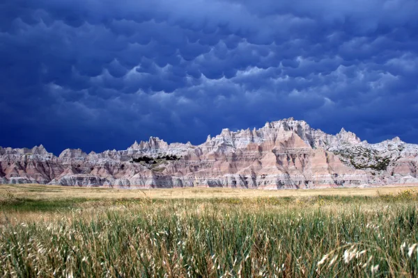
Badlands National Park
National Park
The rugged beauty of the Badlands draws visitors from around the world. These striking geologic deposits contain one of the world’s richest fossil beds. Ancient horses and rhinos once roamed here. The...
25 mi from route
~62 min detour
$30
near mile 364.8
Caution: Navigation