This 207.9-mile drive from Jerome, PA to Erie, PA is designed for a single day, taking approximately 3 hours and 51 minutes to complete. You'll primarily be on major highways, including I-79 and the Pennsylvania Turnpike, with a notable portion on the Flight 93 Memorial Highway. With a fuel cost estimated at $34, this straightforward journey offers a convenient way to travel within Pennsylvania. It’s a practical option if you're looking for an efficient trip with minimal fuss, allowing you to reach your destination without needing an overnight stop. The route is predominantly highway-focused, making it a quick transit between these two points in the Northeast region.
Trip Pace
Same-day drive is realistic
A same-day return is realistic if you keep stops short.
Break Rhythm
1 planned break
A short stop every 2 to 3 hours is enough for this drive.
Midpoint
103.9 miles from Jerome, PA
A natural place for your longest stop of the day
, about 1h 55m into the drive
.
Loading map...
Drive Character
Expect a highway-focused experience for 90% of this 207.9-mile trip. You'll spend a significant amount of time on I-79, including a substantial stretch of 105.2 miles without interruption. The inclusion of the Pennsylvania Turnpike and the Flight 93 Memorial Highway means you'll be navigating well-maintained, high-speed roads for most of your journey. This profile suggests a consistent driving pace, prioritizing efficiency over meandering scenic byways. While the exact scenery isn't detailed, the highway focus indicates a more direct and less varied driving experience, ideal for covering distance quickly.
Most of the miles stay on highways, which makes pacing and fuel planning easier than turn-by-turn city driving.
There are about 17 navigation steps in the underlying route data, so the final approach matters more than the middle miles.
I 79 is the longest continuous segment at about 105.2 miles.
How Hard Is This Drive?
This is a straightforward highway drive that stays mostly on I 79 and Pennsylvania Turnpike. This route has several spots where lane changes, forks, or exits need your full attention. The trickiest moment comes around 98.5 miles in.
Route Complexity7/10
Demanding - plan breaks and stay ahead of the key maneuvers
This is a demanding drive. With 13 significant decision points across 207.9 miles, you will need to stay alert — especially through interchange areas and urban stretches. Consider splitting it into segments if you are not comfortable with fast highway navigation.
Where does it get tricky?
The main spots that need attention: at 98.5 miles: Exit ramp - move to the correct lane early. Lane positioning matters here. Multiple destination signs - pick the right one; at 99.1 miles: Highway fork - watch signs carefully. Lane positioning matters here; at 99.7 miles (I 79): Merge point - match speed before joining. Lane positioning matters here.
Critical Maneuvers
5 of 13 key points
These are the spots where you need to pay the most attention. Preview them before you drive.
8
98.5 mi into trip|~1h 48m in
Take the exit toward I 79, US 19: Erie, Pittsburgh, Warrendale, Cranberry
Exit ramp - move to the correct lane early. Lane positioning matters here. Multiple destination signs - pick the right one
Use the slight right lane.
Exit 28
Toward I 79, US 19: Erie, Pittsburgh, Warrendal...
7
99.1 mi into trip|~1h 49m in
Keep slight left at fork toward I 79 North: Erie
Highway fork - watch signs carefully. Lane positioning matters here
Use the straight / slight right lanes.
Toward I 79 North: Erie
5
99.7 mi into trip|~1h 50m in|I 79
Merge onto I 79
Merge point - match speed before joining. Lane positioning matters here
Use the straight / slight right lanes.
6
204.8 mi into trip|~3h 44m in
Take the exit toward PA 5 East, PA 290 East: 12th Street
Exit ramp - move to the correct lane early. Multiple destination signs - pick the right one
Exit 183A
Toward PA 5 East, PA 290 East: 12th Street
6
207.4 mi into trip|~3h 49m in|State Street
Turn left onto State Street
Lane positioning matters here
Use the left lane.
Towns Mentioned on Route Signs
Based on OSRM destination-sign hints, not a full list of every settlement the road passes.
Between Jerome, PA and Erie, PA, road signs point toward Pittsburgh, Warrendale and Cranberry.
Pittsburgh
98.5 mi in|~1h 48m
Warrendale
98.5 mi in|~1h 48m
Cranberry
98.5 mi in|~1h 48m
Main Roads
Road
Distance
Duration
I 79
105.2 mi
1h 53m
Pennsylvania Turnpike
81.2 mi
1h 26m
Flight 93 Memorial Highway
13.3 mi
14m
West 12th Street
2.3 mi
4m
Stoystown Road
1.7 mi
2m
Penn Avenue
0.5 mi
<1m
State Street
0.4 mi
1m
North Pleasant Avenue
0.4 mi
<1m
Longest stretch:
I 79
— 105.2 mi, about 1h 53m
Turn-by-Turn Driving Directions
Step-by-step road directions between Jerome, PA and Erie, PA.
1
Start on PA 601
0.5 mi·49 sec·Penn Avenue
2
Take the ramp
0.4 mi·52 sec
3
Merge onto US 219
13 mi·14 min·Flight 93 Memorial Highway
4
Take the exit
0.2 mi·31 sec
5
Turn right onto PA 281
1.7 mi·2 min·Stoystown Road
6
Turn right onto North Pleasant Avenue
0.4 mi·35 sec·North Pleasant Avenue
7
Continue on Ramada Road
0.3 mi·31 sec·Ramada Road
8
Take the ramp
0.6 mi·1 min
Toward I 76 West, I 70 West: Pittsburgh
9
Merge onto I 70; I 76; PATP
81 mi·1 hr 26 min·Pennsylvania Turnpike
10
Take the exit
0.2 mi·26 sec
Exit 28Toward I 79, US 19: Erie, Pittsburgh, Warrendale, CranberryUse the slight right lane.
11
Keep slight left at fork
0.4 mi·54 sec
12
Keep slight left at fork
0.5 mi·1 min
Toward I 79 North: ErieUse the straight / slight right lanes.
13
Merge onto I 79
105 mi·1 hr 53 min·I 79
Use the straight / slight right lanes.
14
Take the exit
0.3 mi·49 sec
Exit 183AToward PA 5 East, PA 290 East: 12th Street
15
Turn right onto PA 5; PA 290
2.3 mi·4 min·West 12th Street
Use the straight / right lanes.
16
Turn left onto State Street
0.4 mi·1 min·State Street
Use the left lane.
17
Arrive at destination
State Street
Trip Plan
Given the 3-hour and 51-minute duration, this route is perfectly manageable as a single-day drive, so you have flexibility with your departure time. Consider an early start to maximize daylight and minimize potential traffic, especially if you're traveling on a weekend. With a total of 207.9 miles and an estimated fuel cost of $34, planning one fuel stop should be sufficient, though it's always wise to top off before embarking. Keep an eye on the mileage for the longest stretch of 105.2 miles on I-79; ensure you're comfortable with your fuel level before entering that segment. The main roads are well-marked, so navigation should be straightforward.
Morning Departure
An early start around 7-8 AM gets you there with plenty of daylight left.
Evening Departure
A late afternoon start means arriving after dark. Morning is better.
You can normally do this drive in one day.
Plan roughly 1 meaningful break for fuel, food, and rest.
The halfway point lands around 103.9 miles from Jerome, PA, or about 1h 55m into the drive.
The longest continuous stretch on this route runs about 105.2 miles.
This is a comfortable same-day trip.
Departure
Before you leave
Start with fuel, water, and navigation already sorted so the first hour feels easy.
First stop
Around 80 miles or 1h 28m in
Use this first pause for coffee, a restroom break, and a quick traffic check ahead.
Halfway reset
Around 103.9 miles or 1h 55m in
This is the best place for your longest stop, a real meal, and a full fuel check.
Final approach
Final hour starts around 3h 7m
Traffic, exits, and arrival timing usually matter more near Erie, PA than in the middle of the route.
Before You Leave
+
Open the route before leaving Jerome, PA so your first major turns are already loaded.
+
Leave with enough water and a charging cable within reach, not packed away.
+
Check your fuel range against the first long segment, especially if you are starting outside city service areas.
Day 1
Settle into the route from Jerome, PA
This is one driving day of about 207.9 miles and 3h 51m.
Your first comfortable stop window is around 80 miles from Jerome, PA.
This route can stay practical as a one-day drive if traffic stays reasonable.
Plan about 1 real break rather than only quick fuel stops.
The longest stretch is on I 79 for about 105.2 miles.
Where to Stop
Rest stops, refuel points, and overnight suggestions along this route.
Halfway Point
Midpoint
About 103.9 mi from Jerome, PA
· 1h 55m into the drive
The midpoint is around 103.9 miles from Jerome, PA, which is a good place for a longer meal and fuel stop.
Before the longest stretch
Fuel check
Top up before I 79 if your tank is already low. That segment runs about 105.2 miles.
Arriving in Erie, PA
The final approach into Erie, PA usually feels slower than the middle of the drive, so avoid planning your tightest schedule at the very end.
Try to arrive with enough fuel left to skip an immediate station stop unless you already know the area around Erie, PA.
After long uninterrupted mileage, take five minutes before the last urban segment to reset and refocus on exits, merges, and city traffic.
These stop ideas are pacing suggestions — the exact town or exit can change with traffic, hotel plans, and fuel range.
National Parks Near This Route
Worth a detour if your schedule allows.
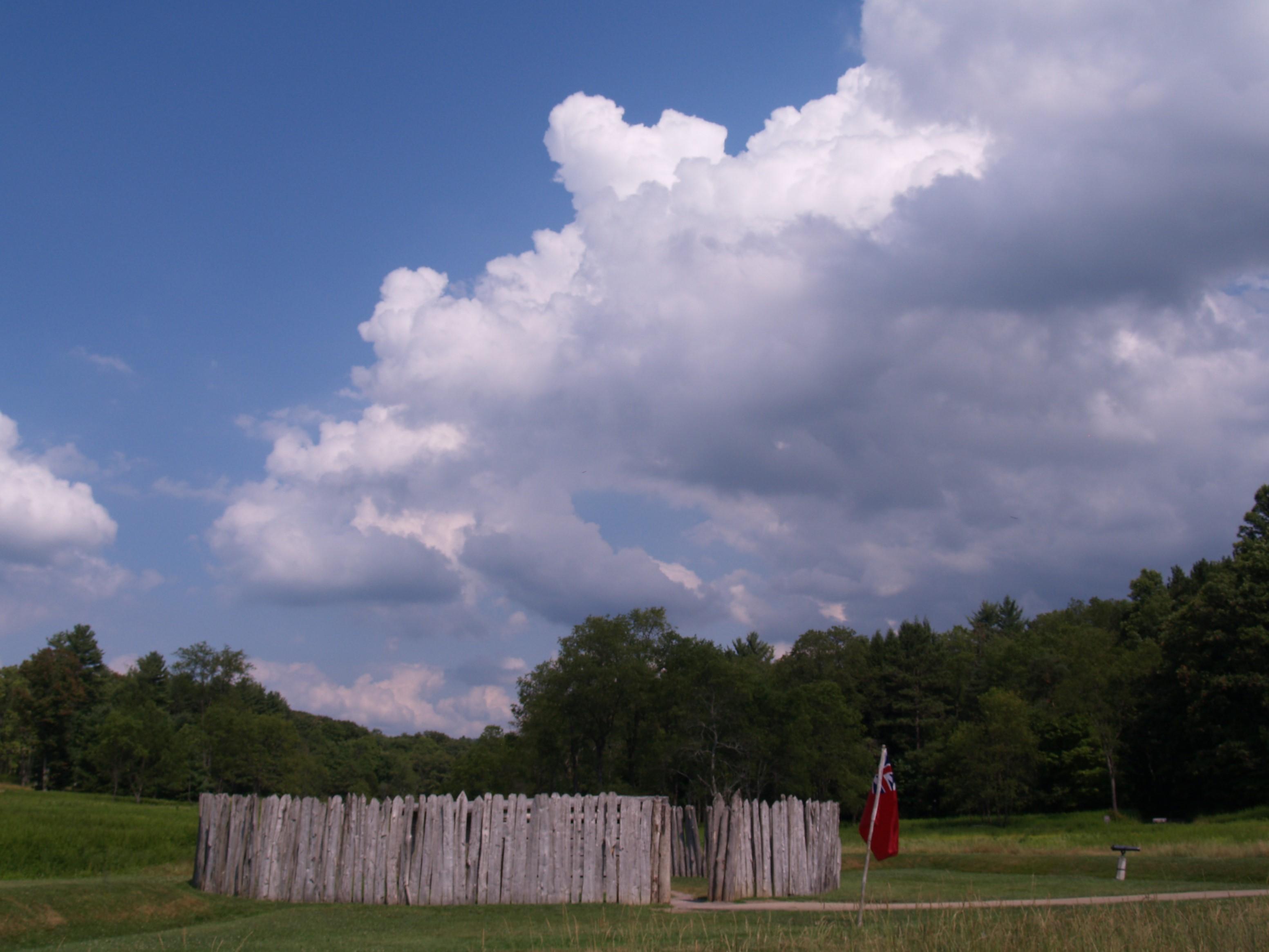
Flight 93 National Memorial
National Memorial
On Tuesday morning, September 11, 2001, the U.S. came under attack when four commercial airliners were hijacked and used to strike targets on the ground. Nearly 3,000 people tragically lost their live...
The South Fork Dam failed on Friday, May 31, 1889, and unleashed 20,000,000 tons of water that devastated Johnstown, PA. The flood killed 2,209 people but it brought the nation and the world together...
The battle at Fort Necessity in the summer of 1754 was the opening action of the French and Indian War. This war was a clash of British, French and American Indian cultures. It ended with the removal...
24 mi from route
~59 min detour
Free
near mile 35.8
Park data from the National Park Service API. Alerts update every 2 hours.
Fuel & Cost
Regular Gas
$34.47 one way
$68.93 round trip
$4.21/gal25.4 MPG avg73 kg CO2
Fuel Type
$/gal
One Way
Round Trip
midgrade
$4.61
$37.75
$75.50
premium
$4.93
$40.32
$80.64
diesel
$5.61
$45.90
$91.80
Estimated Tolls: $10.55
Pennsylvania Turnpike
(81.2 mi)$10.55
Toll estimates based on average 2024-2025 rates. EZ-Pass/SunPass discounts may lower the actual cost.
Estimated Trip Cost (one way, 1 person)
Fuel
$34
Tolls
$11
Meals
$25–$50
Total
$70–$95
Rough estimate based on US averages. Hotel $80–$140/night, meals $25–$50/day.
Estimated CO2 emission: 72.7 kg one way.
Prices: EIA weekly data, 2026-04-13.
Driving Electric?
About $22 in charging
· 0 stops
· 67% less CO2
Vehicle Type
kWh
Stops
DC Fast
Home Charge
Average EV
62.4
0
$21.83
$9.98
Efficient EV
52
0
$18.19
$8.32
EV Truck/SUV
83.2
1
$29.11
$13.31
Gas CO2
73 kg
EV CO2
24 kg (67% less)
This trip is well within single-charge range for most EVs. No charging stops needed if you start fully charged.
DC fast charging avg $0.35/kWh. Home charging avg $0.16/kWh. US grid CO2: 0.39 kg/kWh.
Travel Intel
Current conditions at both ends of the drive.
Forecast data refreshed 9 hours ago
Origin
Jerome, PA
Late night
in Jerome on Wednesday
Local time
12:51 AM
EDT
Current temp
78°F
Unavailable
Live forecast
Destination
Erie, PA
Late night
in Erie on Wednesday
Local time
12:51 AM
EDT
Current temp
65°F
Chance Showers And Thunderstorms
SW 13 to 16 mph40% chanceLive forecast
52°F
Mina, NY
104 mi in
Seasonal Notes
Summer travel usually means heavier construction, hotter rest stops, and busier weekend traffic around major cities.
Winter travel shortens daylight, so a route that looks manageable on paper can feel much longer after dark.
Holiday weekends tend to make both departure and arrival windows slower than the raw route time suggests.
Time zone
Same local time
Origin and destination are on the same clock, so arrival timing is easier to judge at a glance.
Temperature spread
13 degrees cooler at arrival
A meaningful temperature swing is a good cue to rethink layers, water, and how soon you want to arrive.
Road read
3h 51m on the road
The weather snapshot is not static. If you are leaving later, give both cities one more quick forecast check before departure.
Weather data from the National Weather Service. Conditions may change; check closer to your travel date.
Frequently Asked Questions
The drive from Jerome, PA to Erie, PA covers 207.9 miles and takes about 3h 51m without stops. Add 15-30 minutes for a fuel or rest stop on longer drives.
The main roads are I 79, Pennsylvania Turnpike, Flight 93 Memorial Highway. Most of the drive stays on highways, so watch for ramps and exits.
This is a comfortable same-day trip.
The midpoint is about 103.9 miles from Jerome, PA. Look for rest areas, gas stations, or food options near the halfway mark.
At current regular gas prices, expect to spend about $34.47 one way. This estimate uses 25.4 MPG — your actual cost will vary with your vehicle's fuel efficiency and current gas prices.
An early start around 7-8 AM gets you there with plenty of daylight left. A late afternoon start means arriving after dark. Morning is better.
Plan about 1 meaningful break for fuel, food, or rest. A short stop every 2 to 3 hours is enough for this drive.
This is a demanding drive. With 13 significant decision points across 207.9 miles, you will need to stay alert — especially through interchange areas and urban stretches. Consider splitting it into segments if you are not comfortable with fast highway navigation.
The main spots that need attention: at 98.5 miles: Exit ramp - move to the correct lane early. Lane positioning matters here. Multiple destination signs - pick the right one; at 99.1 miles: Highway fork - watch signs carefully. Lane positioning matters here; at 99.7 miles (I 79): Merge point - match speed before joining. Lane positioning matters here.
Between Jerome, PA and Erie, PA, road signs point toward Pittsburgh, Warrendale and Cranberry.