The drive from Johnson Lane, NV to Las Vegas, NV covers 424.4 miles and takes about 8h 35m behind the wheel.
It usually feels better as a 2-day road trip than as one long push.
The route leans on Veterans Memorial Highway, Silver Peak Road, NV 208 for much of the mileage,
and the overall profile is turn-heavy local drive.
The longest uninterrupted segment is about 262.4 miles on Veterans Memorial Highway.
At current regular gas prices, budget about $84.55 one way before food or hotel costs.
Trip Pace
Best split across 2 days
Treat the return leg as its own travel day rather than an afterthought.
Break Rhythm
2 planned breaks
Plan on a short reset every 3 to 4 hours to stay fresh behind the wheel.
Midpoint
212.2 miles from Johnson Lane, NV
A natural place for your longest stop of the day
, about 4h 29m into the drive
.
Who Is This Route For?
Family Friendly
Moderate complexity with 2 natural rest stops along the way.
Solo Traveler
8h 35m drive, plan rest stops for pacing.
Scenic Drive
Turn-heavy local drive route profile with national parks nearby.
Drive Character
Expect a 8h 35m drive with frequent turns across 424.4 miles of local and secondary roads.
This route has more turning and local-road decision points than a simple highway run.
There are about 42 navigation steps in the underlying route data, so the final approach matters more than the middle miles.
Veterans Memorial Highway is the longest continuous segment at about 262.4 miles.
How Hard Is This Drive?
Expect a hands-on drive with frequent turns and local roads rather than long highway stretches. You will hit about 25 points where you need to pay attention to lane position or signs. The trickiest moment comes around 10.3 miles in near Pinenut Road.
Driving Effort5/10
Moderate - straightforward overall, but long enough or busy enough to require pacing
Balances navigation complexity with total wheel time.
This drive requires moderate attention. Across 424.4 miles you will encounter 25 spots where lane choice or exit timing matters. Not difficult for experienced highway drivers, but worth previewing the tricky sections before you go.
Where does it get tricky?
The main spots that need attention: at 10.3 miles (Pinenut Road): Navigation decision point; at 27.6 miles (NV 208): Lane positioning matters here; at 120.1 miles (US 95 Truck / Freedom Road): Lane positioning matters here.
Critical Maneuvers
5 of 25 key points
These are the spots where you need to pay the most attention. Preview them before you drive.
5
10.3 mi into trip|~20m in|Pinenut Road
At end of road, turn right onto Pinenut Road
Navigation decision point
5
27.6 mi into trip|~44m in|NV 208
Turn left onto NV 208
Lane positioning matters here
Use the left lane.
5
120.1 mi into trip|~2h 44m in|US 95 Truck / Freedom Road
Turn left onto US 95 Truck / Freedom Road
Lane positioning matters here
Use the left lane.
7
424 mi into trip|~8h 34m in
Take the exit toward Cashman Field
Exit ramp - move to the correct lane early. Lane positioning matters here
Use the straight / slight right lanes.
Exit 75A
Toward Cashman Field
7
424.4 mi into trip|~8h 35m in|NV 579 / East Bonanza Road
Turn left onto NV 579 / East Bonanza Road
Lane positioning matters here
Use the left lane.
Main Roads
Road
Distance
Duration
Veterans Memorial Highway
262.4 mi
4h 50m
Silver Peak Road
45.6 mi
57m
NV 208
24 mi
35m
North Main Street
23.3 mi
25m
Purple Heart Highway
17.7 mi
20m
Main Street
15.9 mi
21m
Nordyke Road
11.4 mi
15m
East Valley Road
7.4 mi
13m
Longest stretch:
Veterans Memorial Highway
— 262.4 mi, about 4h 50m
Turn-by-Turn Driving Directions
Step-by-step road directions between Johnson Lane, NV and Las Vegas, NV.
1
Start on High Pointe Court
0.2 mi·41 sec·High Pointe Court
2
Turn right onto Squires Street
0.4 mi·1 min·Squires Street
3
Turn left onto Stephanie Way
0.2 mi·38 sec·Stephanie Way
4
Turn right onto East Valley Road
1.0 mi·2 min·East Valley Road
5
Turn left onto Johnson Lane
0.3 mi·28 sec·Johnson Lane
6
Turn right onto Fremont Street
1.5 mi·2 min·Fremont Street
7
Continue on East Valley Road
4.9 mi·8 min·East Valley Road
8
At end of road, turn left onto Fish Springs Road
0.3 mi·28 sec·Fish Springs Road
9
Turn right onto East Valley Road
1.6 mi·2 min·East Valley Road
10
At end of road, turn right onto Pinenut Road
1.1 mi·1 min·Pinenut Road
11
Enter roundabout onto Muller Parkway
228 ft·4 sec·Muller Parkway
12
Continue on Muller Parkway
0.3 mi·33 sec·Muller Parkway
13
Turn left onto US 395
16 mi·21 min·Main Street
14
Turn left onto NV 208
16 mi·23 min·NV 208
Use the left lane.
15
Turn straight onto NV 208
8.4 mi·12 min·NV 208
16
Keep left at fork onto NV 208; NV 339
0.1 mi·10 sec·Topaz Road
17
Turn straight onto NV 339
11 mi·15 min·Nordyke Road
18
Turn right onto US 95 ALT
1.0 mi·2 min·Goldfield Avenue
19
Turn left onto US 95 ALT
23 mi·25 min·North Main Street
20
At end of road, turn right onto US 95
33 mi·39 min·Veterans Memorial Highway
21
Turn left onto US 95 Truck
1.3 mi·2 min·Freedom Road
Use the left lane.
22
At end of road, turn left onto US 95
24 mi·25 min·Veterans Memorial Highway
23
Continue on US 95
0.9 mi·2 min·Plymire Street
24
Continue on US 95
7.8 mi·8 min·Veterans Memorial Highway
25
Continue on US 95
1.2 mi·3 min·Front Street
26
Continue on US 95
35 mi·37 min·Veterans Memorial Highway
27
Turn right onto NV 265
21 mi·22 min·Silver Peak Road
28
Turn left onto Cinnabar Way
0.1 mi·27 sec·Cinnabar Way
29
Turn left onto Silver Peak Road
17 mi·23 min·Silver Peak Road
30
Continue on 3457
7.5 mi·11 min·Silver Peak Road
31
Turn right onto US 95
4.4 mi·5 min·Veterans Memorial Highway
32
Continue on US 95
0.5 mi·1 min·West Crook Avenue
33
Continue on US 95
0.4 mi·1 min·South Sundog Avenue
34
Continue on US 95
60 mi·1 hr 4 min·Veterans Memorial Highway
35
Continue on US 95
6.2 mi·8 min·East Main Street
36
Turn left onto US 95
0.2 mi·41 sec·South 2nd Street
37
Continue on US 95
99 mi·1 hr 49 min·Veterans Memorial Highway
38
Continue on I 11; US 95
18 mi·20 min·Purple Heart Highway
Use the straight / slight right lanes.
39
Take the exit
0.3 mi·31 sec
Exit 75AToward Cashman FieldUse the straight / slight right lanes.
40
Turn left onto North Las Vegas Boulevard
0.1 mi·32 sec·North Las Vegas Boulevard
Use the straight / left lanes.
41
Turn left onto NV 579
62 ft·1 sec·East Bonanza Road
Use the left lane.
42
Arrive at destination
NV 579
Trip Plan
Morning Departure
Start early — leave by 6-7 AM to arrive at a reasonable hour.
Evening Departure
This is a long drive — plan for a morning departure or consider splitting it into two days.
This drive is better paced as a 2-day trip.
Plan roughly 2 meaningful breaks for fuel, food, and rest.
The halfway point lands around 212.2 miles from Johnson Lane, NV, or about 4h 29m into the drive.
The longest continuous stretch on this route runs about 262.4 miles.
Consider an overnight stop or starting very early.
Departure
Before you leave
Start with fuel, water, and navigation already sorted so the first hour feels easy.
First stop
Around 93 miles or 2h 11m in
Use this first pause for coffee, a restroom break, and a quick traffic check ahead.
Halfway reset
Around 212.2 miles or 4h 29m in
This is the best place for your longest stop, a real meal, and a full fuel check.
Overnight split
Day 1 wrap after about 212.2 miles or 4h 29m
Stop before fatigue turns the last few hours into a grind. You want day two to start fresh, not just resumed.
Final approach
Final hour starts around 7h 28m
Traffic, exits, and arrival timing usually matter more near Las Vegas, NV than in the middle of the route.
Before You Leave
+
Open the route before leaving Johnson Lane, NV so your first major turns are already loaded.
+
Leave with enough water and a charging cable within reach, not packed away.
+
Check your fuel range against the first long segment, especially if you are starting outside city service areas.
+
Pick one backup stop option before the midpoint in case traffic changes your pacing.
+
Treat this as a 2-day road trip and book the overnight stop before the busiest arrival window.
Day 1
Settle into the route from Johnson Lane, NV
Aim for roughly 212 miles and 4.3 hours of wheel time on this day.
Day 2
Finish the approach into Las Vegas, NV
Aim for roughly 212 miles and 4.3 hours of wheel time on this day.
Your first comfortable stop window is around 93 miles from Johnson Lane, NV.
This route usually feels better as a 2-day drive than as one long push.
Plan about 2 real breaks rather than only quick fuel stops.
The longest stretch is on Veterans Memorial Highway for about 262.4 miles.
Where to Stop
Rest stops, refuel points, and overnight suggestions along this route.
Halfway Point
Midpoint
About 212.2 mi from Johnson Lane, NV
· 4h 29m into the drive
Place data sourced from public business listings. Hours and availability may vary.
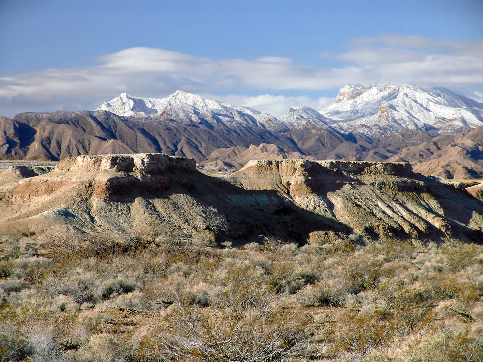
National Parks Near This Route
Worth a detour if your schedule allows.
Tule Springs Fossil Beds National Monument
National Monument
Over the last ~570,000 years, water has transformed the Upper Las Vegas Valley. Tule Springs Fossil Beds National Monument is an urban park that preserves the unique story of this ever-changing enviro...
7 mi from route
~18 min detour
Free
near mile 409.8
Park Closure: South Unit temporarily closed south of Grand Teton Drive; Trailheads remain open.
Park data from the National Park Service API. Alerts update every 2 hours.
Fuel & Cost
Regular Gas
$84.55 one way
$169.09 round trip
$5.06/gal25.4 MPG avg149 kg CO2
Fuel Type
$/gal
One Way
Round Trip
midgrade
$5.36
$89.47
$178.95
premium
$5.59
$93.42
$186.84
diesel
$5.61
$93.70
$187.40
No toll roads detected on this route.
Estimated Trip Cost (one way, 1 person)
Fuel
$85
Hotel (1n)
$80–$140
Meals
$50–$100
Total
$215–$325
Rough estimate based on US averages. Hotel $80–$140/night, meals $25–$50/day.
Estimated CO2 emission: 148.5 kg one way.
Prices: EIA weekly data, 2026-04-13.
Driving Electric?
About $45 in charging
· 1 stop
· 66% less CO2
Vehicle Type
kWh
Stops
DC Fast
Home Charge
Average EV
127.3
1
$44.56
$20.37
Efficient EV
106.1
1
$37.14
$16.98
EV Truck/SUV
169.8
2
$59.42
$27.16
Gas CO2
148 kg
EV CO2
50 kg (66% less)
Plan for 1 charging stop. A 30-minute DC fast charge mid-route should be enough to complete the trip comfortably.
DC fast charging avg $0.35/kWh. Home charging avg $0.16/kWh. US grid CO2: 0.39 kg/kWh.
Travel Intel
Current conditions at both ends of the drive.
Forecast as of Apr 15, 2026
Origin
Johnson Lane, NV
Late night
in Johnson Lane on Saturday
Local time
1:36 AM
PDT
Current temp
34°F
Unavailable
Live forecast
Destination
Las Vegas, NV
Late night
in Las Vegas on Saturday
Local time
1:36 AM
PDT
Current temp
58°F
Unavailable
Live forecast
Seasonal Notes
Summer travel usually means heavier construction, hotter rest stops, and busier weekend traffic around major cities.
Winter travel shortens daylight, so a route that looks manageable on paper can feel much longer after dark.
Holiday weekends tend to make both departure and arrival windows slower than the raw route time suggests.
For long drives, weather on day two can matter just as much as conditions at departure, so check the whole travel window rather than only the first day.
Time zone
Same local time
Origin and destination are on the same clock, so arrival timing is easier to judge at a glance.
Temperature spread
24 degrees warmer at arrival
A meaningful temperature swing is a good cue to rethink layers, water, and how soon you want to arrive.
Road read
8h 35m on the road
This is long enough that the arrival forecast matters almost as much as departure conditions. Recheck both ends before you roll.
Weather data from the National Weather Service. Conditions may change; check closer to your travel date.
Frequently Asked Questions
The drive from Johnson Lane, NV to Las Vegas, NV covers 424.4 miles and takes about 8h 35m without stops. Add 15-30 minutes for a fuel or rest stop on longer drives.
The main roads are Veterans Memorial Highway, Silver Peak Road, NV 208. Expect a mix of highway and local road driving.
Consider an overnight stop or starting very early.
Yes. This route is usually more comfortable as a 2-day drive. A sensible stopping point is after roughly 212 miles on day one.
The midpoint is about 212.2 miles from Johnson Lane, NV. Look for rest areas, gas stations, or food options near the halfway mark.
At current regular gas prices, expect to spend about $84.55 one way. This estimate uses 25.4 MPG — your actual cost will vary with your vehicle's fuel efficiency and current gas prices.
Start early — leave by 6-7 AM to arrive at a reasonable hour. This is a long drive — plan for a morning departure or consider splitting it into two days.
Plan about 2 meaningful breaks for fuel, food, or rest. Plan on a short reset every 3 to 4 hours to stay fresh behind the wheel.
This drive requires moderate attention. Across 424.4 miles you will encounter 25 spots where lane choice or exit timing matters. Not difficult for experienced highway drivers, but worth previewing the tricky sections before you go.
The main spots that need attention: at 10.3 miles (Pinenut Road): Navigation decision point; at 27.6 miles (NV 208): Lane positioning matters here; at 120.1 miles (US 95 Truck / Freedom Road): Lane positioning matters here.
The route from Johnson Lane, NV to Las Vegas, NV does not surface many named destination signs beyond the main corridor.
Yes. Nearby national parks include Tule Springs Fossil Beds National Monument.
How this page is built
Compiled by the Trip.ovh planning team at COD Solutions Oy from open government datasets — OSRM over OpenStreetMap for geometry, EIA for fuel prices, and NPS for national parks. See our methodology for refresh cadence and limitations.