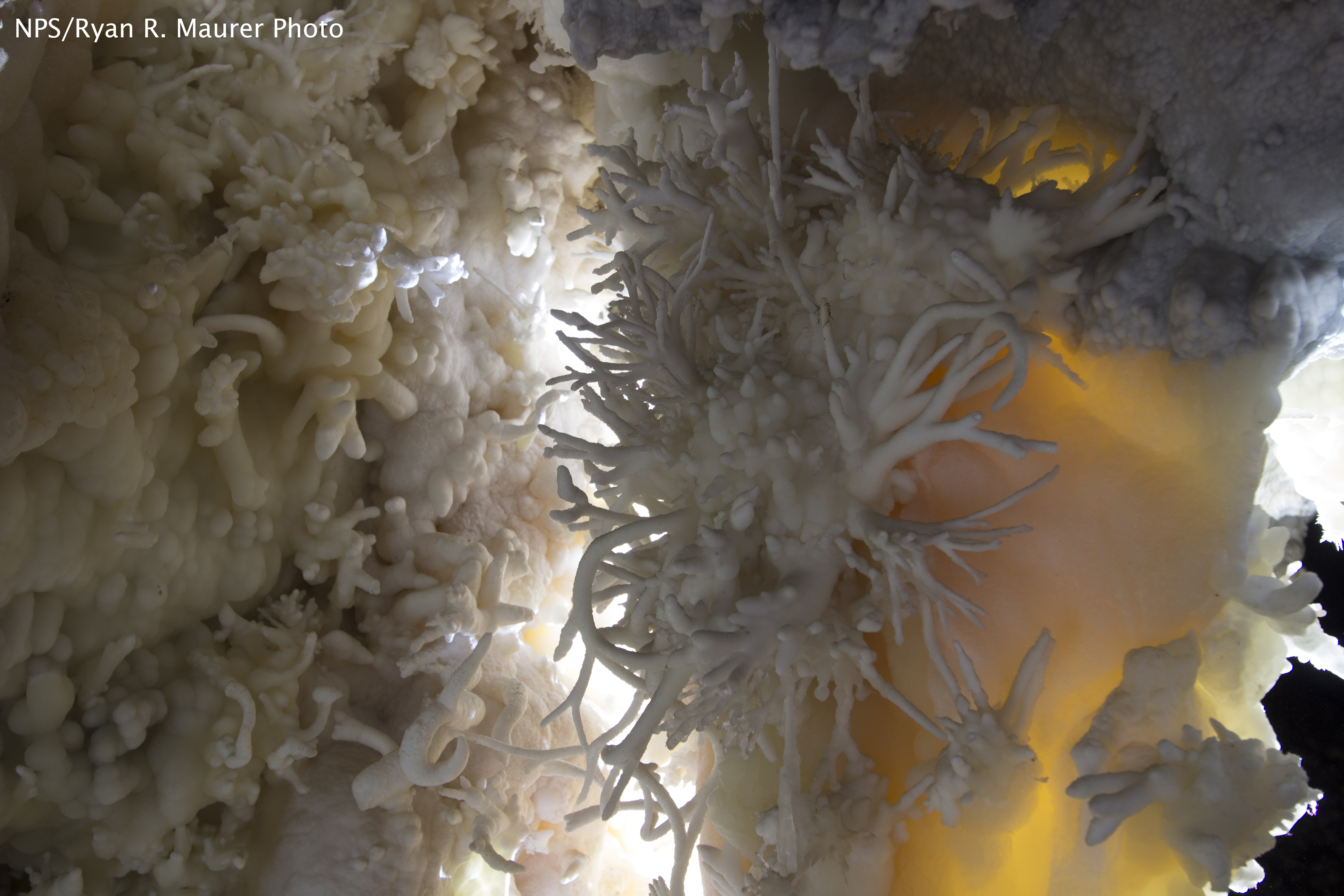
Timpanogos Cave National Monument
National Monument
The visitor center, caves, and cave tours have not yet opened for the 2026 season. Hike your way past stunning vistas to explore a hidden underground world. Taste the thrill of caving as you twist and...
8 mi from route
~19 min detour
$12
near mile 276.5
Caution: Tickets are required to enter Timpanogos Cave