This 509.3-mile journey from L'Anse, MI, to Sterling Heights, MI, is a substantial Midwest road trip, estimated to take about 9 hours and 39 minutes of driving time. Given the distance and duration, it's strongly recommended to split this into two days of travel. You'll be covering a significant portion of Michigan, with the majority of your drive on interstates. Budget around $80 for fuel, and plan for at least two stops along the way. This route is best suited for those looking to cover ground efficiently, connecting the Upper Peninsula to the southeastern part of the state.
Trip Pace
Best split across 2 days
Treat the return leg as its own travel day rather than an afterthought.
Break Rhythm
2 planned breaks
Plan on a short reset every 3 to 4 hours to stay fresh behind the wheel.
Midpoint
254.6 miles from L'Anse, MI
A natural place for your longest stop of the day
, about 5h 11m into the drive
.
Loading map...
Drive Character
Expect a driving experience that is predominantly highway-focused, with 76% of the route utilizing major roadways like I-75 and M-28. The longest uninterrupted stretch spans 266 miles on I-75, indicating long periods of consistent speed. While there are segments on US-2 and M-28, much of the drive will feel like a typical interstate cruise, allowing for steady progress. The character of the road is less about winding scenic byways and more about efficient travel across the state.
Most of the miles stay on highways, which makes pacing and fuel planning easier than turn-by-turn city driving.
There are about 37 navigation steps in the underlying route data, so the final approach matters more than the middle miles.
I 75 is the longest continuous segment at about 266 miles.
How Hard Is This Drive?
This is a straightforward highway drive that stays mostly on I 75 and M-28. This route has several spots where lane changes, forks, or exits need your full attention. The trickiest moment comes around 322.5 miles in near I 75.
Route Complexity8/10
Demanding - plan breaks and stay ahead of the key maneuvers
This is a demanding drive. With 22 significant decision points across 509.3 miles, you will need to stay alert — especially through interchange areas and urban stretches. Consider splitting it into segments if you are not comfortable with fast highway navigation.
Where does it get tricky?
The main spots that need attention: at 322.5 miles (I 75): Highway fork - watch signs carefully. Multiple destination signs - pick the right one; at 457.7 miles (I 75): Highway fork - watch signs carefully. Lane positioning matters here; at 494.5 miles: Exit ramp - move to the correct lane early. Lane positioning matters here.
Critical Maneuvers
5 of 22 key points
These are the spots where you need to pay the most attention. Preview them before you drive.
6
322.5 mi into trip|~6h 22m in|I 75
Keep slight left at fork onto I 75 toward I 75: Saginaw, Detroit
Highway fork - watch signs carefully. Multiple destination signs - pick the right one
Toward I 75: Saginaw, Detroit
6
457.7 mi into trip|~8h 40m in|I 75
Keep slight left at fork onto I 75
Highway fork - watch signs carefully. Lane positioning matters here
Use the straight / slight right lanes.
7
494.5 mi into trip|~9h 20m in
Take the exit toward M 59 East: Utica
Exit ramp - move to the correct lane early. Lane positioning matters here
Use the right lane.
Exit 77A
Toward M 59 East: Utica
8
504.3 mi into trip|~9h 31m in
Take the exit toward Mound Road, Merrill Road
Exit ramp - move to the correct lane early. Lane positioning matters here. Multiple destination signs - pick the right one
Use the straight / slight right lanes.
Exit 50
Toward Mound Road, Merrill Road
6
504.8 mi into trip|~9h 32m in|Mound Road
Turn right onto Mound Road
Lane positioning matters here
Use the straight / right lanes.
Towns Mentioned on Route Signs
Based on OSRM destination-sign hints, not a full list of every settlement the road passes.
On the drive from L'Anse, MI to Sterling Heights, MI, road signs begin pointing toward Detroit along the way.
Detroit
322.5 mi in|~6h 22m|via I 75
Main Roads
Road
Distance
Duration
I 75
266 mi
4h 35m
M-28
70.9 mi
1h 24m
US 2
65.1 mi
1h 15m
US 41
53.4 mi
1h 10m
M 77
17.3 mi
20m
Palms Avenue
10.2 mi
14m
M 59
9.6 mi
10m
US-41/M-28
3.8 mi
5m
Longest stretch:
I 75
— 266 mi, about 4h 35m
Turn-by-Turn Driving Directions
Step-by-step road directions between L'Anse, MI and Sterling Heights, MI.
1
Start on East Broad Street
0.6 mi·1 min·East Broad Street
2
At end of road, turn left onto US 41
52 mi·1 hr 8 min·US 41
3
Enter roundabout onto US 41; M 28
92 ft·5 sec·US 41; M 28
4
Continue on US 41; M 28
0.9 mi·1 min·US 41; M 28
5
Enter roundabout onto US 41; M 28
94 ft·5 sec·Palms Avenue
6
Continue on US 41; M 28
10 mi·14 min·Palms Avenue
7
Enter roundabout onto US 41; M 28
116 ft·6 sec·US-41/M-28
8
Continue on US 41; M 28
0.5 mi·45 sec·US-41/M-28
9
Enter roundabout onto US 41; M 28
103 ft·6 sec·US-41/M-28
10
Continue on US 41; M 28
1.6 mi·2 min·US-41/M-28
11
Continue on US 41; M 28
1.0 mi·1 min·Marquette Bypass
12
Enter roundabout onto US 41; M 28
109 ft·6 sec·Marquette Bypass
13
Continue on US 41; M 28
0.2 mi·14 sec·Marquette Bypass
14
Enter roundabout onto US 41; M 28
107 ft·1 sec·Marquette Bypass
15
Continue on US 41; M 28
0.5 mi·52 sec·Marquette Bypass
16
Take the exit onto US 41; M 28
410 ft·10 sec·US 41; M 28
17
Merge onto US 41; M 28
2.6 mi·4 min·South Front Street
18
Continue on US 41; M 28
1.6 mi·2 min·US-41/M-28
19
Turn left onto M 28
36 mi·42 min·M-28
20
Continue on M 28
2.2 mi·4 min·West Munising Avenue
21
Continue on M 28
0.2 mi·22 sec·Cedar Street
22
Continue on M 28
35 mi·41 min·M-28
23
Turn sharp right onto M 77
17 mi·20 min·M 77
24
At end of road, turn left onto US 2
65 mi·1 hr 15 min·US 2
25
Take the exit
0.3 mi·44 sec
Toward I 75 South: Mackinac Bridge
26
Merge onto I 75
94 mi·1 hr 37 min·I 75
27
Keep slight left at fork onto I 75
124 mi·2 hr 7 min·I 75
Toward I 75: Saginaw, Detroit
28
Keep slight left at fork onto I 75; US 23
11 mi·11 min·I 75; US 23
29
Keep slight left at fork onto I 75
37 mi·39 min·I 75
Use the straight / slight right lanes.
30
Take the exit
0.3 mi·47 sec
Exit 77AToward M 59 East: UticaUse the right lane.
31
Merge onto M 59
9.6 mi·10 min·M 59
Use the straight / slight right lanes.
32
Take the exit
0.3 mi·35 sec
Exit 50Toward Mound Road, Merrill RoadUse the straight / slight right lanes.
33
Continue on Dobry Drive
0.2 mi·25 sec·Dobry Drive
34
Turn right onto Mound Road
3.3 mi·5 min·Mound Road
Use the straight / right lanes.
35
Continue on Mound Road
0.2 mi·35 sec·Mound Road
36
Turn right onto 17 Mile Road
1.0 mi·1 min·17 Mile Road
37
Arrive at destination
17 Mile Road
Trip Plan
To best manage this 9.5-hour drive, aim for an early morning departure to maximize daylight and avoid potential traffic as you approach Sterling Heights. Splitting the trip over two days is highly advisable; consider stopping around the halfway point to break up the 509.3 miles. With two recommended stops, plan for fuel and rest breaks strategically, especially before embarking on the 266-mile stretch on I-75. Keep an eye on your fuel gauge, as services can be spaced out on certain highway sections.
Morning Departure
Start early — leave by 6-7 AM to arrive at a reasonable hour.
Evening Departure
This is a long drive — plan for a morning departure or consider splitting it into two days.
This drive is better paced as a 2-day trip.
Plan roughly 2 meaningful breaks for fuel, food, and rest.
The halfway point lands around 254.6 miles from L'Anse, MI, or about 5h 11m into the drive.
The longest continuous stretch on this route runs about 266 miles.
Consider an overnight stop or starting very early.
Departure
Before you leave
Start with fuel, water, and navigation already sorted so the first hour feels easy.
First stop
Around 112 miles or 2h 27m in
Use this first pause for coffee, a restroom break, and a quick traffic check ahead.
Halfway reset
Around 254.6 miles or 5h 11m in
This is the best place for your longest stop, a real meal, and a full fuel check.
Overnight split
Day 1 wrap after about 254.6 miles or 5h 11m
Stop before fatigue turns the last few hours into a grind. You want day two to start fresh, not just resumed.
Final approach
Final hour starts around 8h 31m
Traffic, exits, and arrival timing usually matter more near Sterling Heights, MI than in the middle of the route.
Before You Leave
+
Open the route before leaving L'Anse, MI so your first major turns are already loaded.
+
Leave with enough water and a charging cable within reach, not packed away.
+
Check your fuel range against the first long segment, especially if you are starting outside city service areas.
+
Pick one backup stop option before the midpoint in case traffic changes your pacing.
+
Treat this as a 2-day road trip and book the overnight stop before the busiest arrival window.
Day 1
Settle into the route from L'Anse, MI
Aim for roughly 255 miles and 4.8 hours of wheel time on this day.
Day 2
Finish the approach into Sterling Heights, MI
Aim for roughly 255 miles and 4.8 hours of wheel time on this day.
Your first comfortable stop window is around 112 miles from L'Anse, MI.
This route usually feels better as a 2-day drive than as one long push.
Plan about 2 real breaks rather than only quick fuel stops.
The longest stretch is on I 75 for about 266 miles.
Where to Stop
Rest stops, refuel points, and overnight suggestions along this route.
Halfway Point
Midpoint
About 254.6 mi from L'Anse, MI
· 5h 11m into the drive
The midpoint is around 254.6 miles from L'Anse, MI, which is a good place for a longer meal and fuel stop.
Before the longest stretch
Fuel check
Top up before I 75 if your tank is already low. That segment runs about 266 miles.
Overnight split
Hotel stop
For a steadier pace, wrap day one after about 255 miles or 4.8 hours on the road.
Arriving in Sterling Heights, MI
The final approach into Sterling Heights, MI usually feels slower than the middle of the drive, so avoid planning your tightest schedule at the very end.
Try to arrive with enough fuel left to skip an immediate station stop unless you already know the area around Sterling Heights, MI.
On a multi-day trip, keep the last day a little lighter so you reach Sterling Heights, MI with some flexibility left in the schedule.
After long uninterrupted mileage, take five minutes before the last urban segment to reset and refocus on exits, merges, and city traffic.
These stop ideas are pacing suggestions — the exact town or exit can change with traffic, hotel plans, and fuel range.
National Parks Near This Route
Worth a detour if your schedule allows.
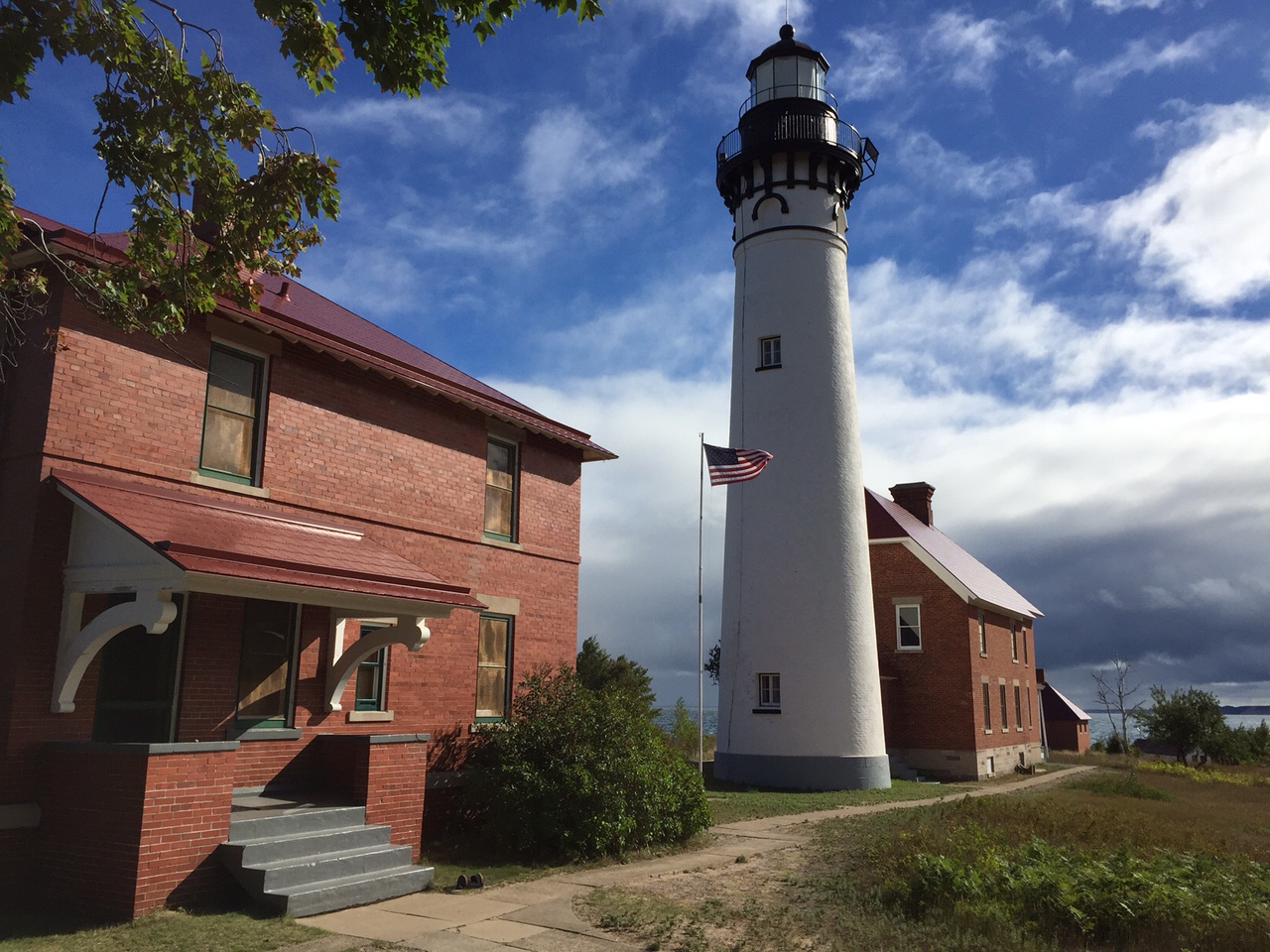
Pictured Rocks National Lakeshore
National Lakeshore
Sandstone cliffs, beaches, waterfalls, sand dunes, inland lakes, deep forest, and wild shoreline beckon you to visit Pictured Rocks National Lakeshore. The power of Lake Superior shapes the park's coa...
16 mi from route
~40 min detour
$25
near mile 122.9
Park Closure: Munising Falls Trail Closed Until Further Notice
The stories of people and copper in the Keweenaw Peninsula have been intertwined for more than 7,000 years. Indigenous peoples made copper into tools and trade items. Investors and immigrants arrived...
Park data from the National Park Service API. Alerts update every 2 hours.
Fuel & Cost
Regular Gas
$79.62 one way
$159.25 round trip
$3.97/gal25.4 MPG avg178 kg CO2
Fuel Type
$/gal
One Way
Round Trip
midgrade
$4.36
$87.42
$174.85
premium
$4.89
$98.01
$196.02
diesel
$5.61
$112.45
$224.89
No toll roads detected on this route.
Estimated Trip Cost (one way, 1 person)
Fuel
$80
Hotel (1n)
$80–$140
Meals
$50–$100
Total
$210–$320
Rough estimate based on US averages. Hotel $80–$140/night, meals $25–$50/day.
Estimated CO2 emission: 178.2 kg one way.
Prices: EIA weekly data, 2026-04-13.
Driving Electric?
About $53 in charging
· 1 stop
· 66% less CO2
Vehicle Type
kWh
Stops
DC Fast
Home Charge
Average EV
152.8
1
$53.48
$24.45
Efficient EV
127.3
1
$44.56
$20.37
EV Truck/SUV
203.7
2
$71.30
$32.60
Gas CO2
178 kg
EV CO2
60 kg (66% less)
Plan for 1 charging stop. A 30-minute DC fast charge mid-route should be enough to complete the trip comfortably.
DC fast charging avg $0.35/kWh. Home charging avg $0.16/kWh. US grid CO2: 0.39 kg/kWh.
Travel Intel
Current conditions at both ends of the drive.
Forecast data refreshed 47 minutes ago
Origin
L'Anse, MI
Evening
in L'Anse on Tuesday
Local time
5:55 PM
EDT
Current temp
60°F
Unavailable
Live forecast
Destination
Sterling Heights, MI
Evening
in Sterling Heights on Tuesday
Local time
5:55 PM
EDT
Current temp
81°F
Mostly Sunny
WSW 14 mph11% chanceLive forecast
Flood Warning
Flood Warning issued April 14 at 4:07PM EDT until April 19 at 6:30PM EDT by NWS Gaylord MI
Flood Watch
Flood Watch issued April 14 at 4:00PM EDT until April 17 at 2:00AM EDT by NWS Gaylord MI
46°F
Flat Rock, MI
168 mi in
Seasonal Notes
Summer travel usually means heavier construction, hotter rest stops, and busier weekend traffic around major cities.
Winter travel shortens daylight, so a route that looks manageable on paper can feel much longer after dark.
Holiday weekends tend to make both departure and arrival windows slower than the raw route time suggests.
For long drives, weather on day two can matter just as much as conditions at departure, so check the whole travel window rather than only the first day.
Time zone
Same local time
Origin and destination are on the same clock, so arrival timing is easier to judge at a glance.
Temperature spread
21 degrees warmer at arrival
A meaningful temperature swing is a good cue to rethink layers, water, and how soon you want to arrive.
Road read
9h 39m on the road
This is long enough that the arrival forecast matters almost as much as departure conditions. Recheck both ends before you roll.
Weather data from the National Weather Service. Conditions may change; check closer to your travel date.
Frequently Asked Questions
The drive from L'Anse, MI to Sterling Heights, MI covers 509.3 miles and takes about 9h 39m without stops. Add 15-30 minutes for a fuel or rest stop on longer drives.
The main roads are I 75, M-28, US 2. Expect a mix of highway and local road driving.
Consider an overnight stop or starting very early.
Yes. This route is usually more comfortable as a 2-day drive. A sensible stopping point is after roughly 255 miles on day one.
The midpoint is about 254.6 miles from L'Anse, MI. Look for rest areas, gas stations, or food options near the halfway mark.
At current regular gas prices, expect to spend about $79.62 one way. This estimate uses 25.4 MPG — your actual cost will vary with your vehicle's fuel efficiency and current gas prices.
Start early — leave by 6-7 AM to arrive at a reasonable hour. This is a long drive — plan for a morning departure or consider splitting it into two days.
Plan about 2 meaningful breaks for fuel, food, or rest. Plan on a short reset every 3 to 4 hours to stay fresh behind the wheel.
This is a demanding drive. With 22 significant decision points across 509.3 miles, you will need to stay alert — especially through interchange areas and urban stretches. Consider splitting it into segments if you are not comfortable with fast highway navigation.
The main spots that need attention: at 322.5 miles (I 75): Highway fork - watch signs carefully. Multiple destination signs - pick the right one; at 457.7 miles (I 75): Highway fork - watch signs carefully. Lane positioning matters here; at 494.5 miles: Exit ramp - move to the correct lane early. Lane positioning matters here.
On the drive from L'Anse, MI to Sterling Heights, MI, road signs begin pointing toward Detroit along the way.