The drive from Long Beach, CA to Midpines, CA covers 316.1 miles and takes about 6h 20m behind the wheel.
This route is realistic as a one-day drive if you keep your stops efficient.
The route leans on Golden State Highway, Golden State Freeway, San Diego Freeway for much of the mileage,
and the overall profile is mixed drive.
The longest uninterrupted segment is about 98.2 miles on Golden State Highway.
At current regular gas prices, budget about $72.65 one way before food or hotel costs.
Trip Pace
Same-day drive is realistic
A same-day return is possible, but it will make for a full day on the road.
Break Rhythm
1 planned break
Plan on a short reset every 3 to 4 hours to stay fresh behind the wheel.
Midpoint
158.1 miles from Long Beach, CA
A natural place for your longest stop of the day
, about 3h 1m into the drive
.
Who Is This Route For?
Weekend Trip
Doable as a same-day drive at 6h 20m. Total distance: 316.1 miles.
Family Friendly
Moderate complexity with 1 natural rest stops along the way.
Solo Traveler
6h 20m drive, plan rest stops for pacing.
Scenic Drive
Mixed drive route profile with national parks nearby.
Drive Character
The drive from Long Beach, CA to Midpines, CA covers 316.1 miles and takes about 6h 20m, using a mix of highways and local roads.
Expect a mix of faster highway mileage and slower local approaches near the beginning or end.
There are about 34 navigation steps in the underlying route data, so the final approach matters more than the middle miles.
Golden State Highway is the longest continuous segment at about 98.2 miles.
How Hard Is This Drive?
This route mixes highway mileage with some local-road sections near the start or finish. This route has several spots where lane changes, forks, or exits need your full attention. The trickiest moment comes around 4.7 miles in.
Driving Effort9/10
High effort - long or complex enough to need steady focus all day
Balances navigation complexity with total wheel time.
This is a demanding drive. With 25 significant decision points across 316.1 miles, you will need to stay alert - especially through interchange areas and urban stretches. Consider splitting it into segments if you are not comfortable with fast highway navigation.
Where does it get tricky?
The main spots that need attention: at 4.7 miles: Exit ramp - move to the correct lane early. Lane positioning matters here. Multiple destination signs - pick the right one; at 4.8 miles: Highway fork - watch signs carefully. Lane positioning matters here. Multiple destination signs - pick the right one; at 4.9 miles: Highway fork - watch signs carefully. Lane positioning matters here.
Critical Maneuvers
5 of 25 key points
These are the spots where you need to pay the most attention. Preview them before you drive.
7
4.7 mi into trip|~7m in
Take the exit toward I 405 North, I 405 South: Santa Monica, San Diego
Exit ramp - move to the correct lane early. Lane positioning matters here. Multiple destination signs - pick the right one
Use the straight / slight right lanes.
Toward I 405 North, I 405 South: Santa Monica,...
9
4.8 mi into trip|~7m in
Keep slight left at fork toward I 405 North, I 710: Long Beach Freeway North, Santa Monica
Highway fork - watch signs carefully. Lane positioning matters here. Multiple destination signs - pick the right one
Use the straight lane.
Toward I 405 North, I 710: Long Beach Freeway N...
8
4.9 mi into trip|~8m in
Keep slight right at fork toward I 405 North: Santa Monica
Highway fork - watch signs carefully. Lane positioning matters here
Use the sharp right lane.
Toward I 405 North: Santa Monica
8
5.2 mi into trip|~8m in
Keep slight left at fork toward I 405 North: Santa Monica
Highway fork - watch signs carefully. Lane positioning matters here
Use the straight lane.
Toward I 405 North: Santa Monica
9
48.2 mi into trip|~59m in|I 5 Truck
Keep slight right at fork onto I 5 Truck toward I 5 Truck North, CA 14 Truck
Highway fork - watch signs carefully. Lane positioning matters here. Multiple destination signs - pick the right one
Use the straight / slight right lanes.
Exit 161A
Toward I 5 Truck North, CA 14 Truck
Main Roads
Road
Distance
Duration
Golden State Highway
98.2 mi
1h 45m
Golden State Freeway
55.6 mi
1h 1m
San Diego Freeway
40.8 mi
47m
I 5 Truck
39.3 mi
45m
Southern Yosemite Highway
35.5 mi
49m
CA 49
21.7 mi
32m
Dwight David Eisenhower Memorial Freeway
7.2 mi
8m
Yosemite Freeway
3.7 mi
4m
Longest stretch:
Golden State Highway
— 98.2 mi, about 1h 45m
Turn-by-Turn Driving Directions
Step-by-step road directions between Long Beach, CA and Midpines, CA.
1
Start on East Ocean Boulevard
0.7 mi·2 min·East Ocean Boulevard
2
Turn right onto North Golden Avenue
414 ft·6 sec·North Golden Avenue
3
Keep slight left at fork
0.1 mi·18 sec
Toward I 710 North
4
Merge onto Shoreline Drive
0.5 mi·47 sec·Shoreline Drive
5
Keep slight left at fork
0.4 mi·31 sec
Toward I 710 North
6
Merge onto I 710
0.5 mi·41 sec·Seaside Freeway
7
Continue on I 710
2.3 mi·3 min·Long Beach Freeway
Use the straight / slight right lanes.
8
Take the exit
0.1 mi·10 sec
Toward I 405 North, I 405 South: Santa Monica, San DiegoUse the straight / slight right lanes.
9
Keep slight left at fork
0.2 mi·21 sec
Toward I 405 North, I 710: Long Beach Freeway North, Santa MonicaUse the straight lane.
10
Keep slight right at fork
0.3 mi·32 sec
Toward I 405 North: Santa MonicaUse the sharp right lane.
11
Keep slight left at fork
0.3 mi·36 sec
Toward I 405 North: Santa MonicaUse the straight lane.
12
Keep slight left at fork
0.3 mi·40 sec
Toward I 405 NorthUse the straight lane.
13
Merge onto I 405
41 mi·47 min·San Diego Freeway
Use the straight / slight right lanes.
14
Merge onto I 5 Truck
1.6 mi·1 min·I 5 Truck
Use the straight / slight right lanes.
15
Keep slight right at fork onto I 5 Truck
1.5 mi·1 min·I 5 Truck
Exit 161AToward I 5 Truck North, CA 14 TruckUse the straight / slight right lanes.
16
Keep slight left at fork onto I 5 Truck
36 mi·41 min·I 5 Truck
Use the straight / slight right lanes.
17
Keep slight left at fork onto I 5
22 mi·25 min·Golden State Freeway
Use the straight / slight right lanes.
18
Keep slight left at fork onto CA 99
27 mi·30 min·Golden State Freeway
Use the straight / slight right lanes.
19
Keep slight left at fork onto CA 99
6.0 mi·6 min·Golden State Freeway
Use the straight / slight right lanes.
20
Continue on CA 99
98 mi·1 hr 45 min·Golden State Highway
Use the straight / slight right lanes.
21
Take the exit
0.7 mi·1 min
Exit 131Toward CA 41 North: YosemiteUse the straight / slight right lanes.
22
Merge onto CA 41
1.1 mi·1 min·Yosemite Freeway
Use the straight / slight right lanes.
23
Continue on CA 41
7.2 mi·8 min·Dwight David Eisenhower Memorial Freeway
Use the straight / slight right lanes.
24
Continue on CA 41
2.6 mi·3 min·Yosemite Freeway
25
Continue on CA 41
36 mi·49 min·Southern Yosemite Highway
Use the straight / slight right lanes.
26
Turn left onto CA 49
21 mi·31 min·CA 49
27
Turn straight onto CA 49
0.8 mi·1 min·CA 49
28
Turn right onto Silva Road
1.1 mi·2 min·Silva Road
29
Continue on Carleton Road
2.8 mi·4 min·Carleton Road
30
At end of road, turn left onto Triangle Road
1.7 mi·4 min·Triangle Road
31
Turn right
162 ft·7 sec
32
Turn right onto CA 140
1.7 mi·2 min·Central Yosemite Highway
33
Turn left
0.1 mi·28 sec
34
Arrive at destination
Trip Plan
Morning Departure
Start early — leave by 6-7 AM to arrive at a reasonable hour.
Evening Departure
This is a long drive — plan for a morning departure or consider splitting it into two days.
You can normally do this drive in one day.
Plan roughly 1 meaningful break for fuel, food, and rest.
The halfway point lands around 158.1 miles from Long Beach, CA, or about 3h 1m into the drive.
The longest continuous stretch on this route runs about 98.2 miles.
This is a comfortable same-day trip.
Departure
Before you leave
Start with fuel, water, and navigation already sorted so the first hour feels easy.
First stop
Around 70 miles or 1h 23m in
Use this first pause for coffee, a restroom break, and a quick traffic check ahead.
Halfway reset
Around 158.1 miles or 3h 1m in
This is the best place for your longest stop, a real meal, and a full fuel check.
Final approach
Final hour starts around 4h 54m
Traffic, exits, and arrival timing usually matter more near Midpines, CA than in the middle of the route.
Before You Leave
+
Open the route before leaving Long Beach, CA so your first major turns are already loaded.
+
Leave with enough water and a charging cable within reach, not packed away.
+
Check your fuel range against the first long segment, especially if you are starting outside city service areas.
Day 1
Settle into the route from Long Beach, CA
This is one driving day of about 316.1 miles and 6h 20m.
Your first comfortable stop window is around 70 miles from Long Beach, CA.
This route can stay practical as a one-day drive if traffic stays reasonable.
Plan about 1 real break rather than only quick fuel stops.
The longest stretch is on Golden State Highway for about 98.2 miles.
Where to Stop
Rest stops, refuel points, and overnight suggestions along this route.
Halfway Point
Midpoint
About 158.1 mi from Long Beach, CA
· 3h 1m into the drive
Place data sourced from public business listings. Hours and availability may vary.
National Parks Near This Route
Worth a detour if your schedule allows.
Santa Monica Mountains National Recreation Area
National Recreation Area
The Santa Monica Mountains offer easy access to surprisingly wild places. Experience the famous beaches of Malibu or explore more than 500 miles of trails. The park abounds with historical and cultura...
17 mi from route
~42 min detour
Free
near mile 32.7
Yes, we can! Widely recognized as the most important Latino leader in the United States during the twentieth century, Cesar Chavez led farm workers and supporters in the establishment of the country's...
25 mi from route
~63 min detour
Free
near mile 119.9
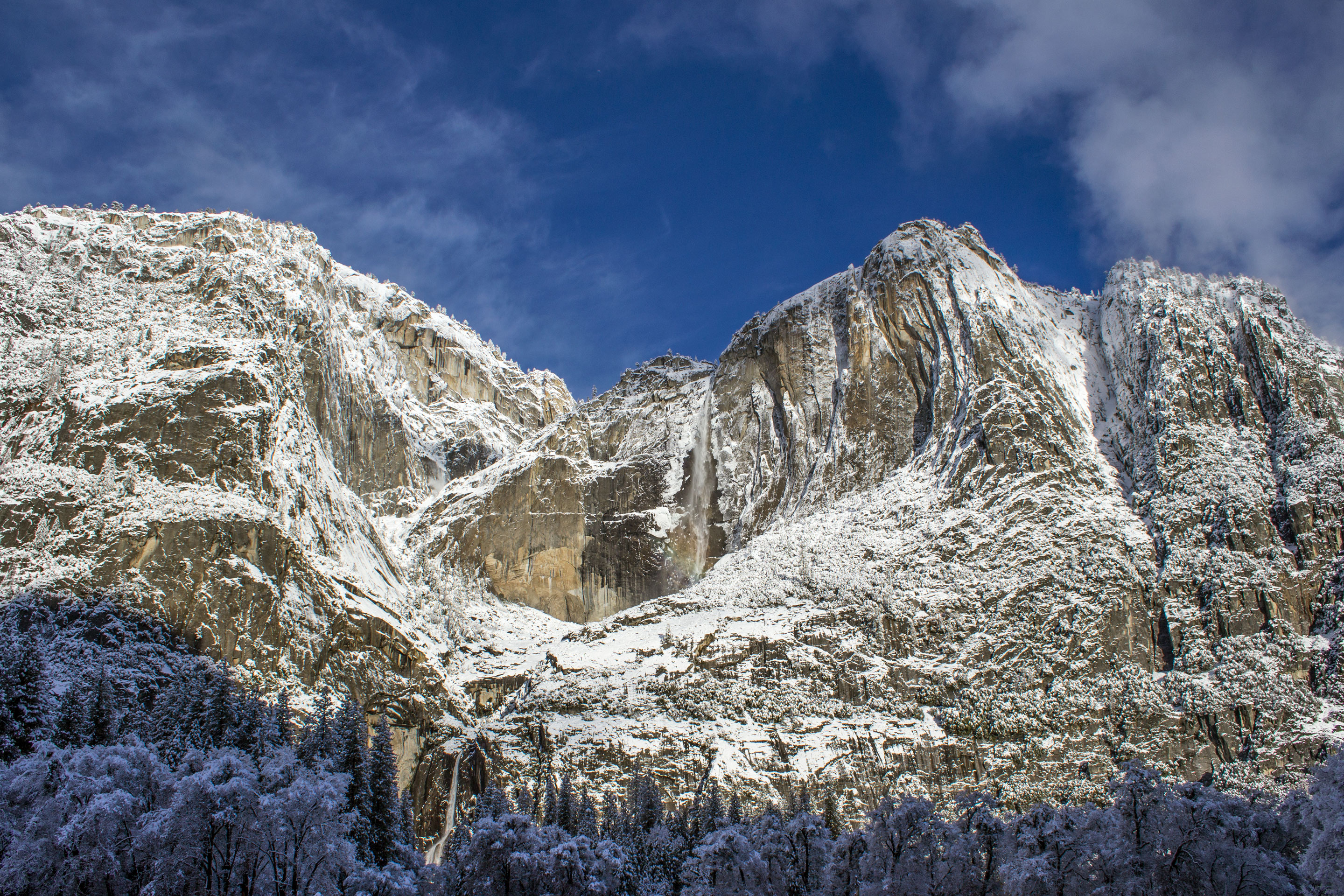
Not just a great valley, but a shrine to human foresight, the strength of granite, the power of glaciers, the persistence of life, and the tranquility of the High Sierra. First protected in 1864, Yose...
29 mi from route
~72 min detour
$35
near mile 316.1
Station data from NREL Alternative Fuel Stations database.
Driving Electric?
About $33 in charging
· 1 stop
· 67% less CO2
Vehicle Type
kWh
Stops
DC Fast
Home Charge
Average EV
94.8
1
$33.19
$15.17
Efficient EV
79
0
$27.66
$12.64
EV Truck/SUV
126.4
1
$44.25
$20.23
Gas CO2
111 kg
EV CO2
37 kg (67% less)
Plan for 1 charging stop. A 30-minute DC fast charge mid-route should be enough to complete the trip comfortably.
DC fast charging avg $0.35/kWh. Home charging avg $0.16/kWh. US grid CO2: 0.39 kg/kWh.
Travel Intel
Current conditions at both ends of the drive.
Forecast as of Apr 15, 2026
Origin
Long Beach, CA
Afternoon
in Long Beach on Thursday
Local time
4:41 PM
PDT
Current temp
56°F
Unavailable
Live forecast
Destination
Midpines, CA
Afternoon
in Midpines on Thursday
Local time
4:41 PM
PDT
Current temp
70°F
Unavailable
Live forecast
Seasonal Notes
Summer travel usually means heavier construction, hotter rest stops, and busier weekend traffic around major cities.
Winter travel shortens daylight, so a route that looks manageable on paper can feel much longer after dark.
Holiday weekends tend to make both departure and arrival windows slower than the raw route time suggests.
Time zone
Same local time
Origin and destination are on the same clock, so arrival timing is easier to judge at a glance.
Temperature spread
14 degrees warmer at arrival
A meaningful temperature swing is a good cue to rethink layers, water, and how soon you want to arrive.
Road read
6h 20m on the road
Start early — leave by 6-7 AM to arrive at a reasonable hour.
Weather data from the National Weather Service. Conditions may change; check closer to your travel date.
Frequently Asked Questions
The drive from Long Beach, CA to Midpines, CA covers 316.1 miles and takes about 6h 20m without stops. Add 15-30 minutes for a fuel or rest stop on longer drives.
The main roads are Golden State Highway, Golden State Freeway, San Diego Freeway. Expect a mix of highway and local road driving.
This is a comfortable same-day trip.
The midpoint is about 158.1 miles from Long Beach, CA. Look for rest areas, gas stations, or food options near the halfway mark.
At current regular gas prices, expect to spend about $72.65 one way. This estimate uses 25.4 MPG — your actual cost will vary with your vehicle's fuel efficiency and current gas prices.
Start early — leave by 6-7 AM to arrive at a reasonable hour. This is a long drive — plan for a morning departure or consider splitting it into two days.
Plan about 1 meaningful break for fuel, food, or rest. Plan on a short reset every 3 to 4 hours to stay fresh behind the wheel.
This is a demanding drive. With 25 significant decision points across 316.1 miles, you will need to stay alert - especially through interchange areas and urban stretches. Consider splitting it into segments if you are not comfortable with fast highway navigation.
The main spots that need attention: at 4.7 miles: Exit ramp - move to the correct lane early. Lane positioning matters here. Multiple destination signs - pick the right one; at 4.8 miles: Highway fork - watch signs carefully. Lane positioning matters here. Multiple destination signs - pick the right one; at 4.9 miles: Highway fork - watch signs carefully. Lane positioning matters here.
The route from Long Beach, CA to Midpines, CA does not surface many named destination signs beyond the main corridor.