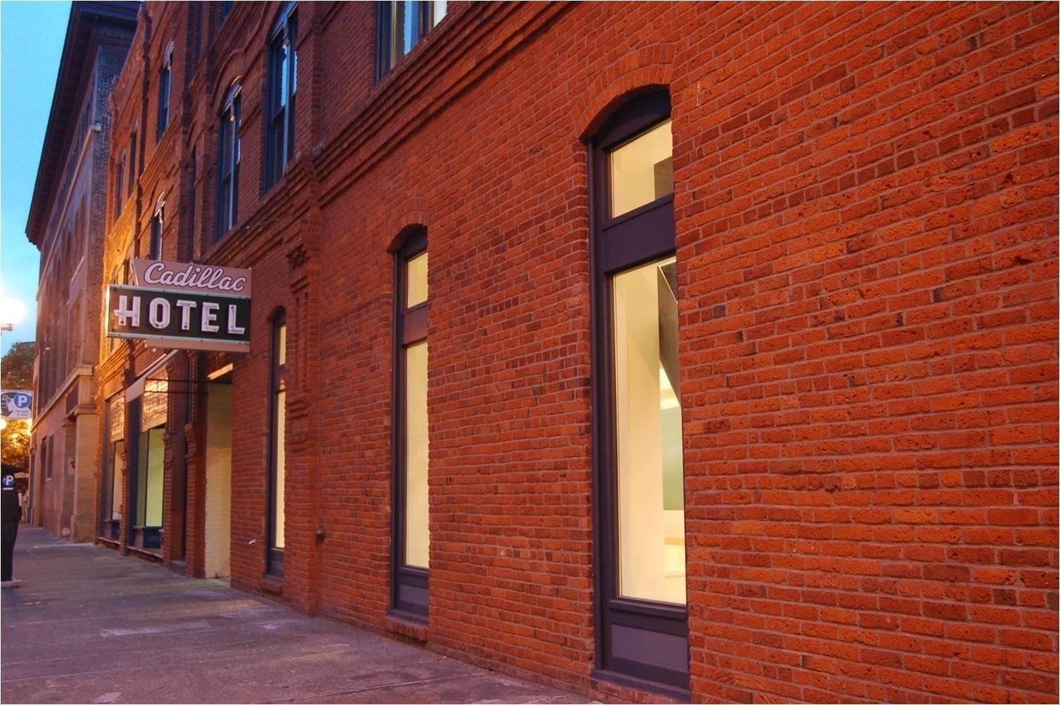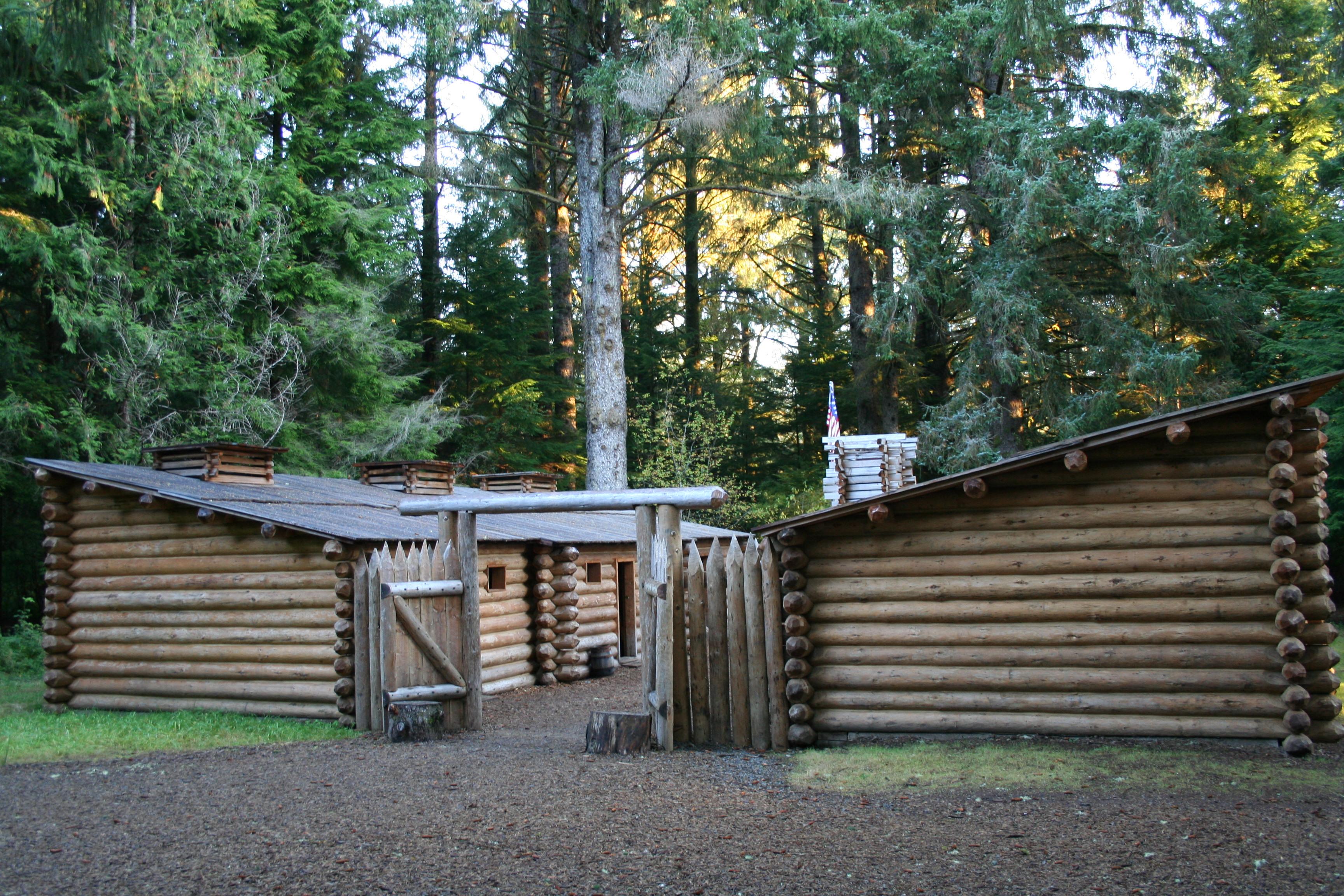
Lewis and Clark National Historical Park
National Historical Park
Explore the timeless rainforests and majestic coastal vistas. Discover the rich heritage of the native people. Unfold the dramatic stories of America's most famous explorers. The park encompasses site...
8 mi from route
~21 min detour
$10
near mile 5.2
View on nps.gov