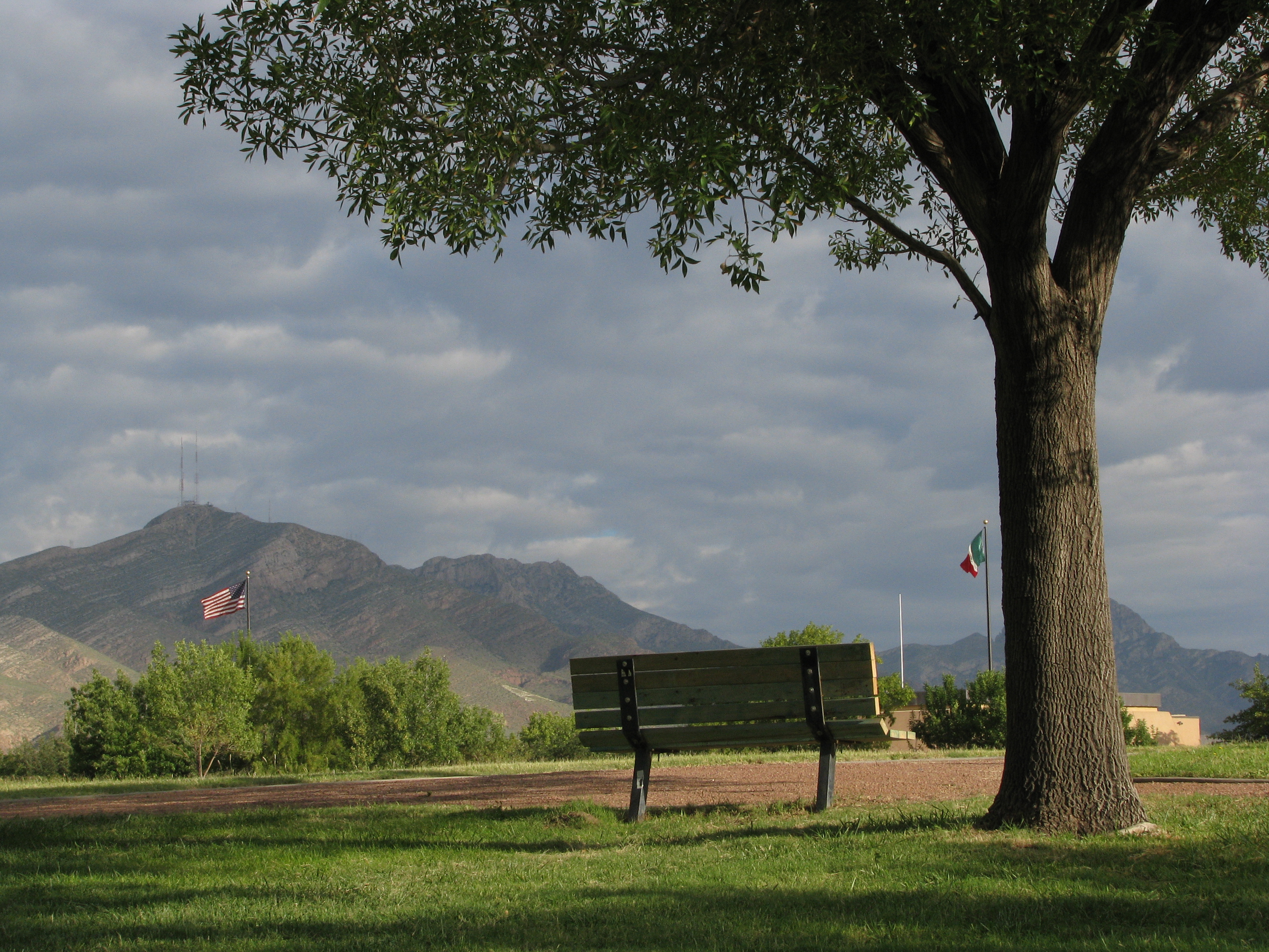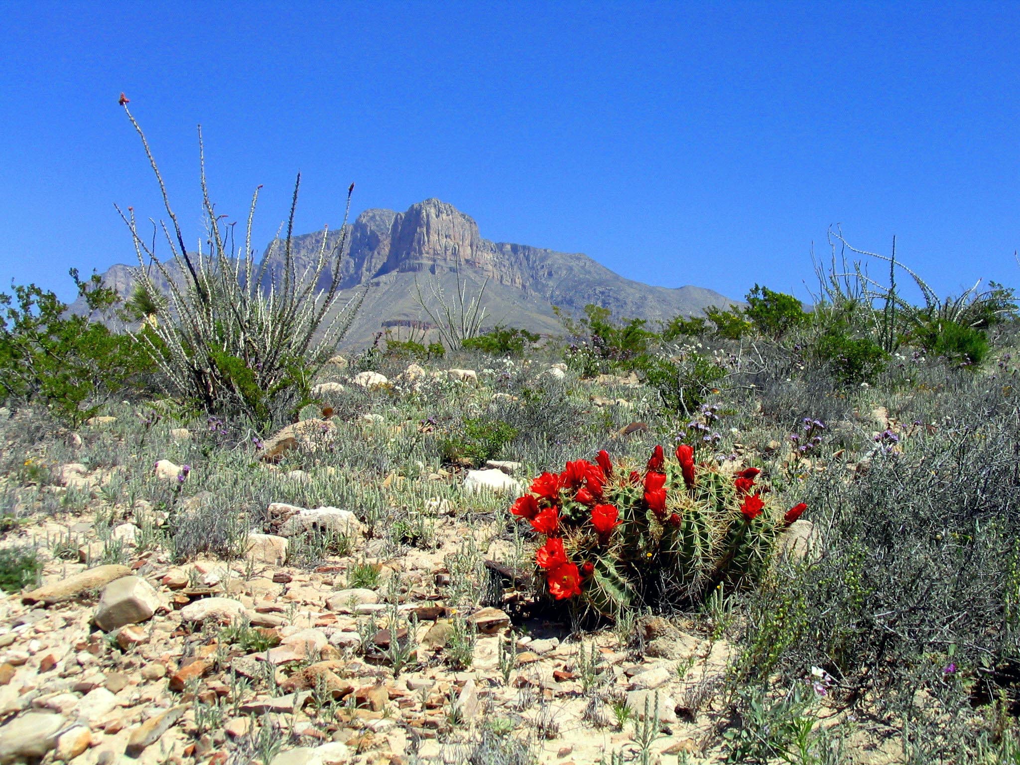
Guadalupe Mountains National Park
National Park
Come experience mountains and canyons, desert and dunes, night skies and spectacular vistas within a place unlike any other. Guadalupe Mountains National Park protects the world's most extensive Permi...
5 mi from route
~12 min detour
$10
near mile 234.1
Caution: Devil's Hall is a Strenuous Hike