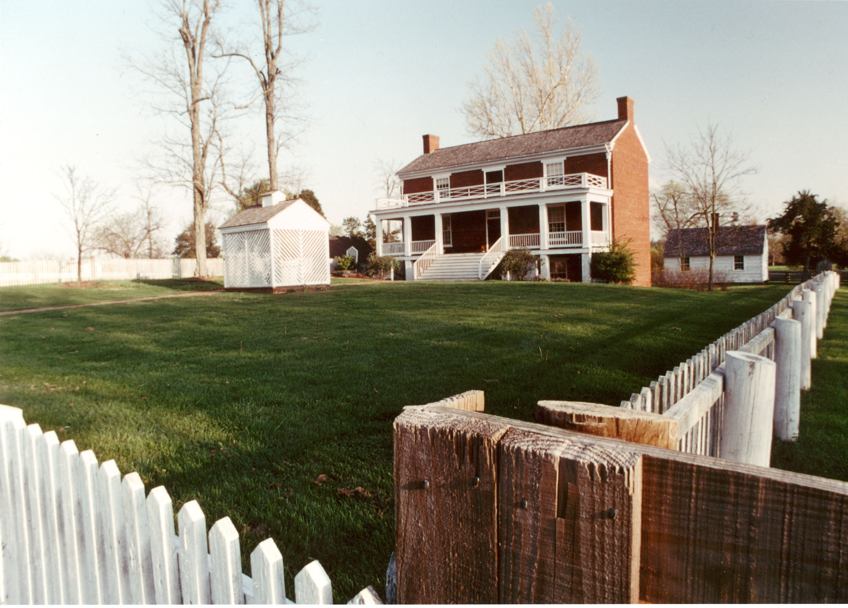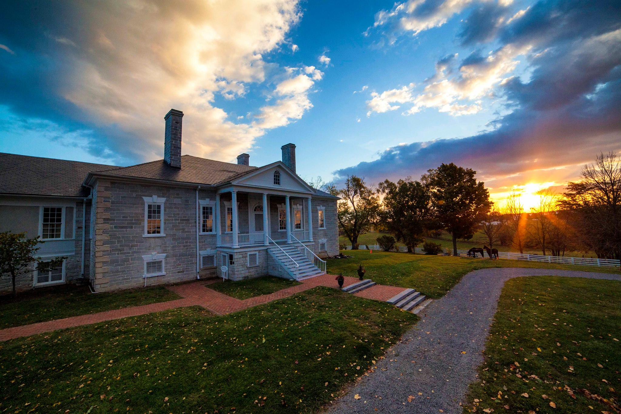
Cedar Creek & Belle Grove National Historical Park
National Historical Park
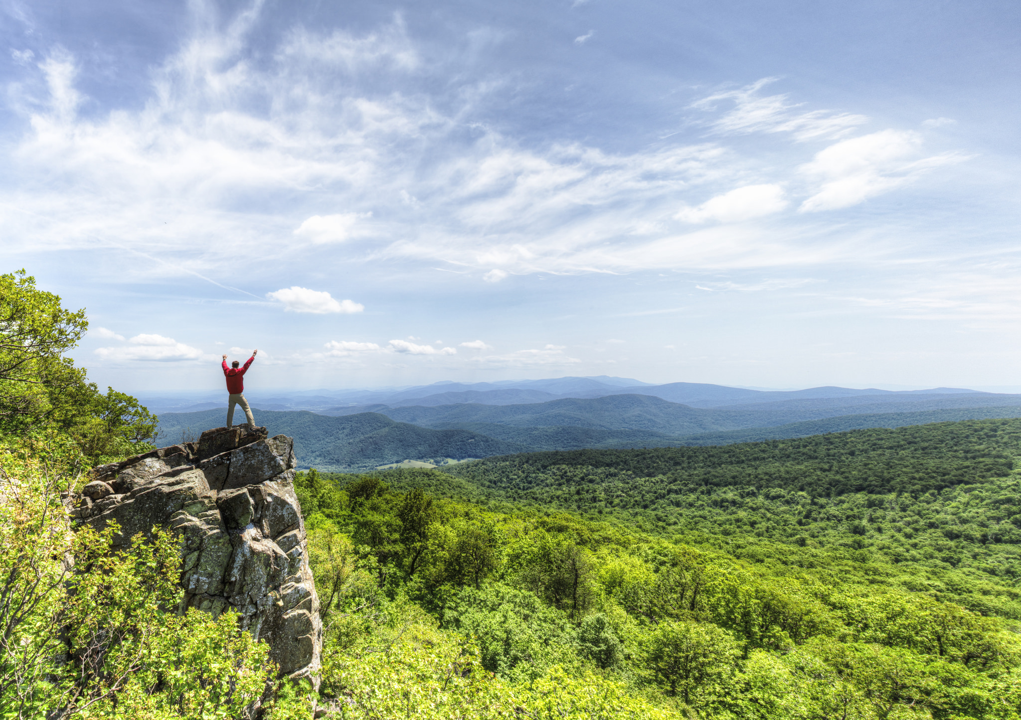
Virginia’s Shenandoah Valley has a long and rich heritage that still inspires today. Native Americans first shaped the land, followed by colonists and settlers. The fertile valley became an important...
1 mi from route
~3 min detour
Free
near mile 148.8
View on nps.gov