


Hot Springs National Park
National Park
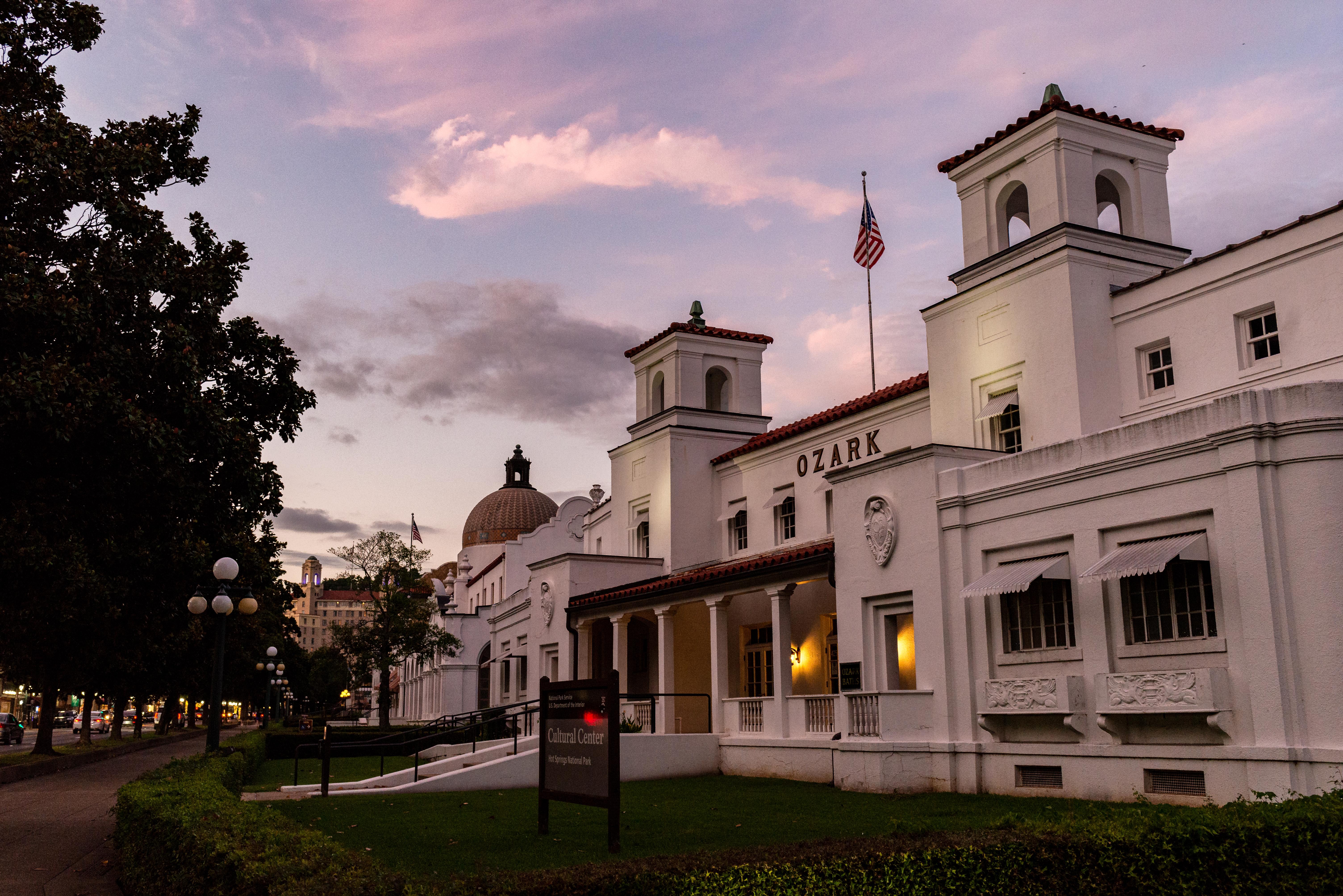
Hot Springs National Park has a rich cultural past. The grand architecture of our historic bathhouses is equally matched by the natural curiosities that have been drawing people here for hundreds of y...
5 mi from route
~13 min detour
Free
near mile 22
View on nps.gov