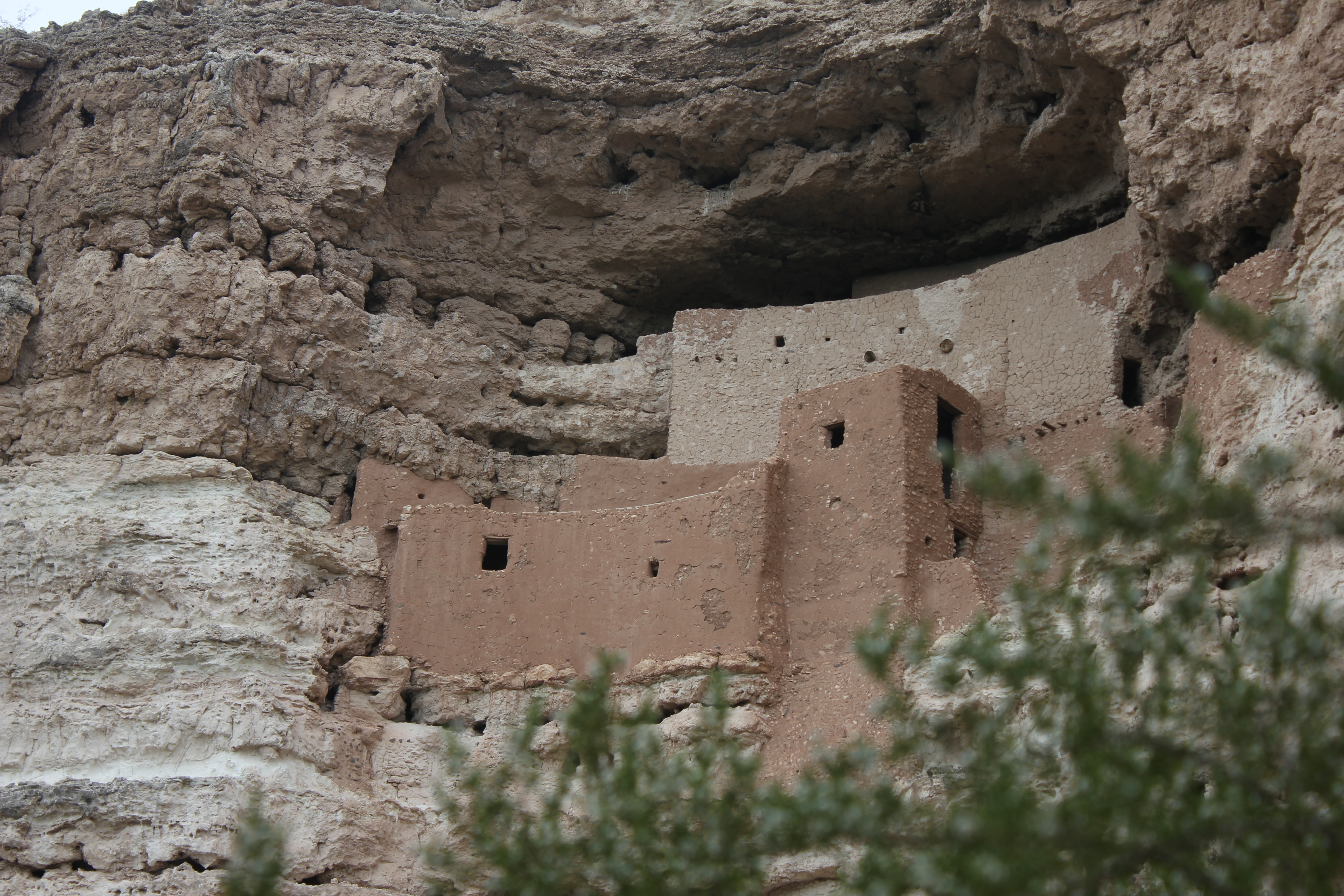
Tuzigoot National Monument
National Monument
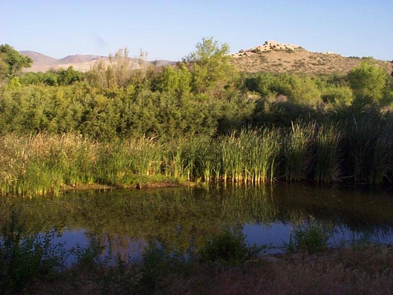
Water flows under and through this landscape, feeding the growth of people and towns. The Verde Valley is watered by snowmelt, summer monsoons, and springs that well up from the ancient sedimentary ro...
18 mi from route
~46 min detour
$10
near mile 123.1
View on nps.gov