

Joshua Tree National Park
National Park
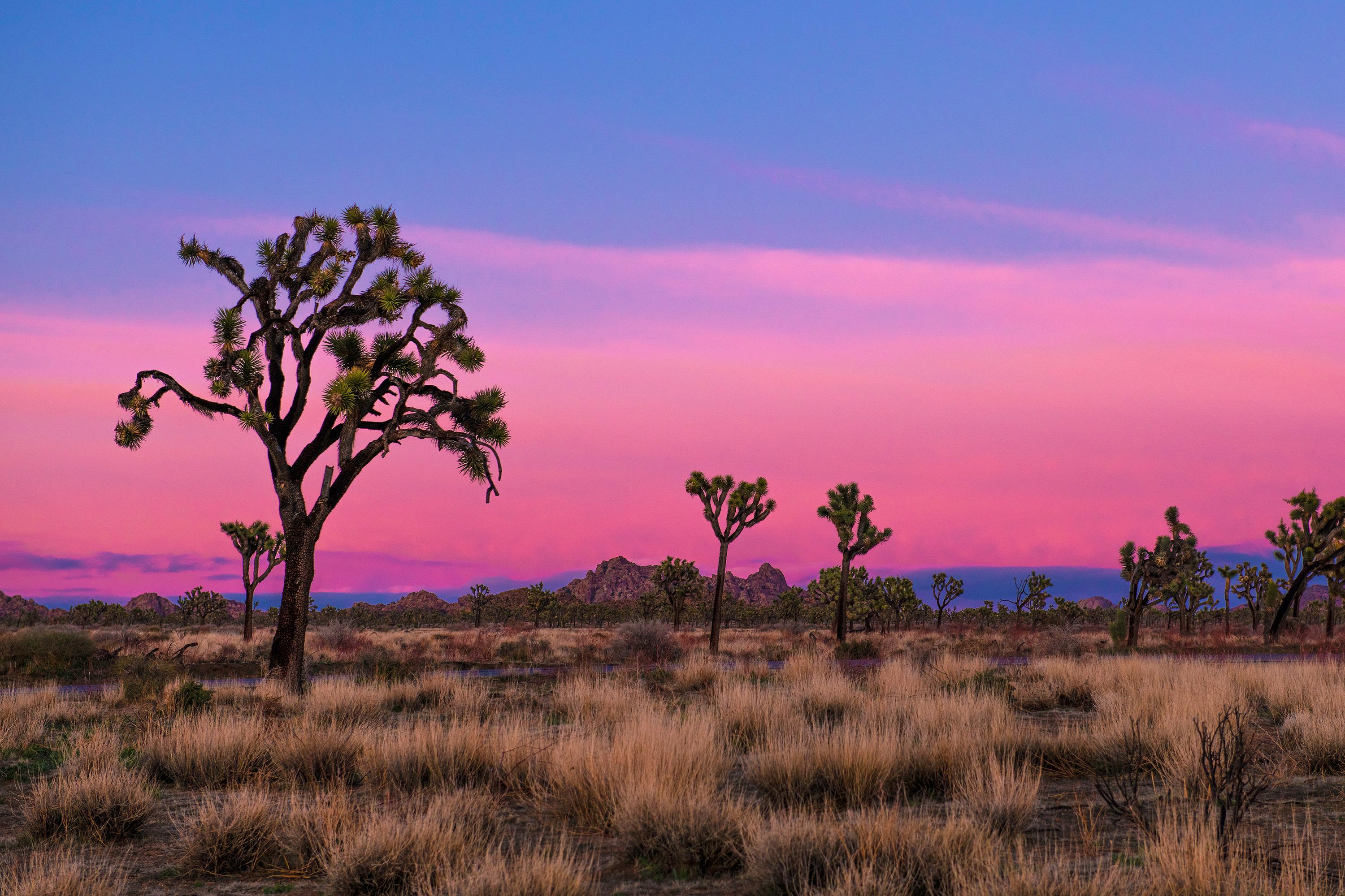
Two distinct desert ecosystems, the Mojave and the Colorado, come together in Joshua Tree National Park. A fascinating variety of plants and animals make their homes in a land sculpted by strong winds...
17 mi from route
~43 min detour
$30
near mile 67.2
Caution: Oasis of Mara Trail Partial Closure
Park Closure: Cholla Cactus Garden Trail Closed

