Trip from Milwaukee, WI to Saint Croix Falls, WI

Drive Time

6h 26m

Distance

335.4 mi

540 km

Drive Score

8/10

Great drive

Same Day?

Yes, doable

Fuel Cost

$51

one way

EV Charging

None

0 DC fast

Best Time to Leave

Save up to 37 min
4 AM
6h 14m ★
6 AM
6h 26m
8 AM
6h 51m
10 AM
6h 35m
12 PM
6h 32m
3 PM
6h 36m
5 PM
6h 50m
8 PM
6h 19m

Estimated drive times based on typical traffic patterns. Actual times may vary with weather, construction, and real-time conditions.

Downtown Milwaukee, WI, WI

Milwaukee, WI

Blue Arauz

Downtown Saint Croix Falls, WI, WI

Saint Croix Falls, WI

Bill Fuesz

Trip Overview

The drive from Milwaukee, WI to Saint Croix Falls, WI covers 335.4 miles and takes about 6h 26m behind the wheel. This route is realistic as a one-day drive if you keep your stops efficient.

The route leans on I 94, East-West Freeway, I 90 for much of the mileage, and the overall profile is highway-focused drive. The longest uninterrupted segment is about 105.2 miles on I 94. At current regular gas prices, budget about $50.94 one way before food or hotel costs.

Trip Pace

Same-day drive is realistic

A same-day return is possible, but it will make for a full day on the road.

Break Rhythm

1 planned break

Plan on a short reset every 3 to 4 hours to stay fresh behind the wheel.

Midpoint

167.7 miles from Milwaukee, WI

A natural place for your longest stop of the day , about 3h 4m into the drive .

Drive Character

This is a 6h 26m highway drive covering 335.4 miles, with most of the trip on I 94 and East-West Freeway. The longest continuous stretch is about 105.2 miles on I 94.

Most of the miles stay on highways, which makes pacing and fuel planning easier than turn-by-turn city driving.
There are about 35 navigation steps in the underlying route data, so the final approach matters more than the middle miles.
I 94 is the longest continuous segment at about 105.2 miles.

How Hard Is This Drive?

This is a straightforward highway drive that stays mostly on I 94 and East-West Freeway. This route has several spots where lane changes, forks, or exits need your full attention. The trickiest moment comes around 0.3 miles in.

Route Complexity 9/10

High effort - long or complex enough to need steady focus all day

This is a demanding drive. With 26 significant decision points across 335.4 miles, you will need to stay alert — especially through interchange areas and urban stretches. Consider splitting it into segments if you are not comfortable with fast highway navigation.

Where does it get tricky?

The main spots that need attention: at 0.3 miles: Lane positioning matters here; at 18 miles (I 94 / East-West Freeway): Highway fork - watch signs carefully. Lane positioning matters here; at 71.5 miles (I 94): Highway fork - watch signs carefully. Lane positioning matters here. Multiple destination signs - pick the right one.

Critical Maneuvers

5 of 26 key points

These are the spots where you need to pay the most attention. Preview them before you drive.

6
0.3 mi into trip | ~1m in

Take the ramp toward I 794 West

Lane positioning matters here

Use the straight / slight right / right lanes. Toward I 794 West
6
18 mi into trip | ~23m in | I 94 / East-West Freeway

Keep slight left at fork onto I 94 / East-West Freeway

Highway fork - watch signs carefully. Lane positioning matters here

Use the straight / slight right lanes.
9
71.5 mi into trip | ~1h 21m in | I 94

Keep slight right at fork onto I 94 toward I 39 North, I 90 West, I 94 West: Wisconsin Dells, Eau Claire

Highway fork - watch signs carefully. Lane positioning matters here. Multiple destination signs - pick the right one

Use the straight / slight right lanes. Exit 240 Toward I 39 North, I 90 West, I 94 West: Wiscon...
6
100.6 mi into trip | ~1h 52m in | I 90; I 94

Keep slight left at fork onto I 90; I 94

Highway fork - watch signs carefully. Lane positioning matters here

Use the straight lane.
8
164.1 mi into trip | ~3h in | I 94

Keep slight right at fork onto I 94 toward I 94 West: Eau Claire, Saint Paul

Highway fork - watch signs carefully. Lane positioning matters here. Multiple destination signs - pick the right one

Use the straight lane. Toward I 94 West: Eau Claire, Saint Paul

Towns Along This Route

Between Milwaukee, WI and Saint Croix Falls, WI, road signs point toward Eau Claire, Saint Paul, Superior and Cameron.

Eau Claire

71.5 mi in | ~1h 21m | via I 94

Saint Paul

164.1 mi in | ~3h | via I 94

Superior

240.2 mi in | ~4h 21m

Cameron

290.9 mi in | ~5h 17m

Main Roads

Road Distance Duration
I 94 105.2 mi 1h 52m
East-West Freeway 70.9 mi 1h 19m
I 90 63.5 mi 1h 8m
US 53 50 mi 55m
US 8 13.7 mi 19m
East 130th Avenue 11.2 mi 15m
14th Avenue 9.6 mi 14m
13 1/2 Avenue 3 mi 4m
Longest stretch: I 94 — 105.2 mi, about 1h 52m

Trip Plan

Morning Departure

Start early — leave by 6-7 AM to arrive at a reasonable hour.

Evening Departure

This is a long drive — plan for a morning departure or consider splitting it into two days.

You can normally do this drive in one day.
Plan roughly 1 meaningful break for fuel, food, and rest.
The halfway point lands around 167.7 miles from Milwaukee, WI, or about 3h 4m into the drive.
The longest continuous stretch on this route runs about 105.2 miles.

This is a comfortable same-day trip.

Departure

Before you leave

Start with fuel, water, and navigation already sorted so the first hour feels easy.

First stop

Around 80 miles or 1h 30m in

Use this first pause for coffee, a restroom break, and a quick traffic check ahead.

Halfway reset

Around 167.7 miles or 3h 4m in

This is the best place for your longest stop, a real meal, and a full fuel check.

Final approach

Final hour starts around 5h

Traffic, exits, and arrival timing usually matter more near Saint Croix Falls, WI than in the middle of the route.

Before You Leave

+

Open the route before leaving Milwaukee, WI so your first major turns are already loaded.

+

Leave with enough water and a charging cable within reach, not packed away.

+

Check your fuel range against the first long segment, especially if you are starting outside city service areas.

Day 1

Settle into the route from Milwaukee, WI

This is one driving day of about 335.4 miles and 6h 26m.

Your first comfortable stop window is around 80 miles from Milwaukee, WI.
This route can stay practical as a one-day drive if traffic stays reasonable.
Plan about 1 real break rather than only quick fuel stops.
The longest stretch is on I 94 for about 105.2 miles.

Where to Stop

Rest stops, refuel points, and overnight suggestions along this route.

Halfway Point

Midpoint

About 167.7 mi from Milwaukee, WI · 3h 4m into the drive

Downtown Dubuque, IA, IA

Mid-route town

Meal stop

Dubuque, IA

168 mi into the route

Best for: Lunch, fuel, and a longer reset

This sits close to the middle of the route, so it works well for the longest stop of the day.

Pacing Suggestions

Rockford, IL

Fuel and coffee

A short stop after about 80 miles helps settle the day before fatigue starts building.

Rockford, IL

Meal break

The midpoint is around 167.7 miles from Milwaukee, WI, which is a good place for a longer meal and fuel stop.

Before the longest stretch

Fuel check

Top up before I 94 if your tank is already low. That segment runs about 105.2 miles.

Arriving in Saint Croix Falls, WI

The final approach into Saint Croix Falls, WI usually feels slower than the middle of the drive, so avoid planning your tightest schedule at the very end.

Try to arrive with enough fuel left to skip an immediate station stop unless you already know the area around Saint Croix Falls, WI.

After long uninterrupted mileage, take five minutes before the last urban segment to reset and refocus on exits, merges, and city traffic.

These stop ideas are pacing suggestions — the exact town or exit can change with traffic, hotel plans, and fuel range.

National Parks Near This Route

Worth a detour if your schedule allows.

Ice Age National Scenic Trail

Ice Age National Scenic Trail

National Scenic Trail

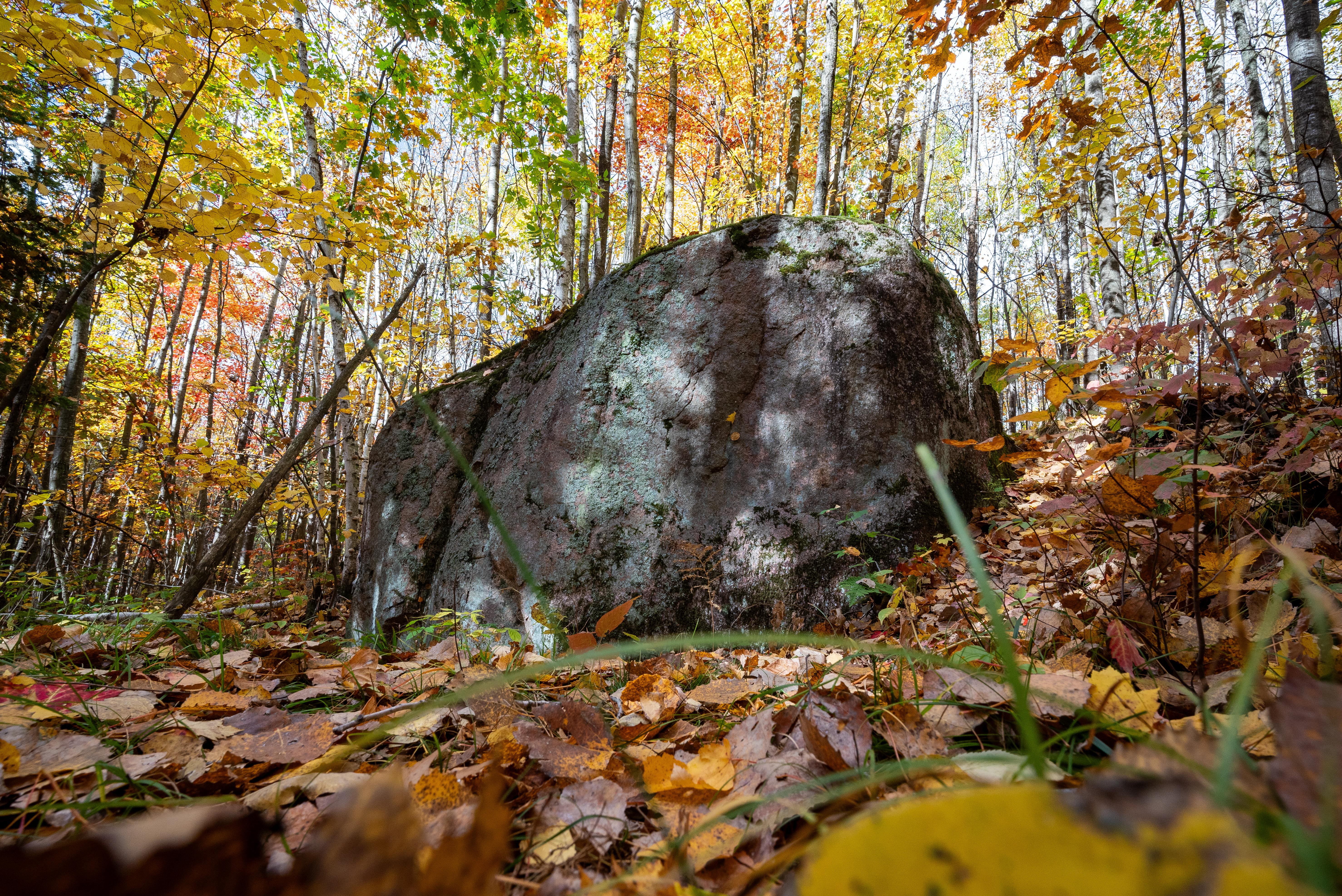
The Ice Age National Scenic Trail spans 1,200 miles, traverses some of Wisconsin's finest geologic and glacial features, and passes through the ancestral lands of 15 Tribes. The Trail is built, manage...

25 mi from route ~63 min detour Free near mile 127.2
Caution: Hemlock Creek Segment — Logging Activities
Caution: Indian Creek Segment — Machinery and Parking Closure
View on nps.gov

Park data from the National Park Service API. Alerts update every 2 hours.

Fuel & Cost

Regular Gas

$50.94 one way

$101.89 round trip

$3.86/gal 25.4 MPG avg 117 kg CO2
Fuel Type $/gal One Way Round Trip
midgrade $4.25 $56.16 $112.32
premium $4.80 $63.32 $126.63
diesel $5.64 $74.51 $149.03

Estimated Trip Cost (one way, 1 person)

Fuel

$51

Meals

$25–$50

Total

$76–$101

Rough estimate based on US averages. Hotel $80–$140/night, meals $25–$50/day.

Estimated CO2 emission: 117.4 kg one way. Prices: EIA weekly data, 2026-04-06.

Driving Electric?

About $35 in charging · 1 stop · 67% less CO2

Vehicle Type kWh Stops DC Fast Home Charge
Average EV 100.6 1 $35.22 $16.10
Efficient EV 83.9 0 $29.35 $13.42
EV Truck/SUV 134.2 1 $46.96 $21.47

Gas CO2

117 kg

EV CO2

39 kg (67% less)

Plan for 1 charging stop. A 30-minute DC fast charge mid-route should be enough to complete the trip comfortably.

DC fast charging avg $0.35/kWh. Home charging avg $0.16/kWh. US grid CO2: 0.39 kg/kWh.

Travel Intel

Current conditions at both ends of the drive.

Forecast data refreshed 1 hour ago

Origin

Milwaukee, WI

Late night in Milwaukee on Monday

Local time

3:30 AM

CDT

Current temp

59°F

Showers And Thunderstorms

SW 15 mph 79% chance Live forecast

Flood Warning

Flood Warning issued April 12 at 11:33PM CDT by NWS Green Bay WI

Flood Warning

Flood Warning issued April 12 at 10:46PM CDT until April 16 at 7:00AM CDT by NWS Duluth MN

Destination

Saint Croix Falls, WI

Late night in Saint Croix Falls on Monday

Local time

3:30 AM

CDT

Current temp

43°F

Unavailable

Live forecast

Seasonal Notes

Summer travel usually means heavier construction, hotter rest stops, and busier weekend traffic around major cities.

Winter travel shortens daylight, so a route that looks manageable on paper can feel much longer after dark.

Holiday weekends tend to make both departure and arrival windows slower than the raw route time suggests.

Time zone

Same local time

Origin and destination are on the same clock, so arrival timing is easier to judge at a glance.

Temperature spread

16 degrees cooler at arrival

A meaningful temperature swing is a good cue to rethink layers, water, and how soon you want to arrive.

Road read

6h 26m on the road

Start early — leave by 6-7 AM to arrive at a reasonable hour.

Weather data from the National Weather Service. Conditions may change; check closer to your travel date.

Frequently Asked Questions

The drive from Milwaukee, WI to Saint Croix Falls, WI covers 335.4 miles and takes about 6h 26m without stops. Add 15-30 minutes for a fuel or rest stop on longer drives.
The main roads are I 94, East-West Freeway, I 90. Most of the drive stays on highways, so watch for ramps and exits.
This is a comfortable same-day trip.
The midpoint is about 167.7 miles from Milwaukee, WI. Look for rest areas, gas stations, or food options near the halfway mark.
At current regular gas prices, expect to spend about $50.94 one way. This estimate uses 25.4 MPG — your actual cost will vary with your vehicle's fuel efficiency and current gas prices.
Start early — leave by 6-7 AM to arrive at a reasonable hour. This is a long drive — plan for a morning departure or consider splitting it into two days.
Plan about 1 meaningful break for fuel, food, or rest. Plan on a short reset every 3 to 4 hours to stay fresh behind the wheel.
This is a demanding drive. With 26 significant decision points across 335.4 miles, you will need to stay alert — especially through interchange areas and urban stretches. Consider splitting it into segments if you are not comfortable with fast highway navigation.
The main spots that need attention: at 0.3 miles: Lane positioning matters here; at 18 miles (I 94 / East-West Freeway): Highway fork - watch signs carefully. Lane positioning matters here; at 71.5 miles (I 94): Highway fork - watch signs carefully. Lane positioning matters here. Multiple destination signs - pick the right one.
Between Milwaukee, WI and Saint Croix Falls, WI, road signs point toward Eau Claire, Saint Paul, Superior and Cameron.

Was this route helpful?

Thanks for your feedback!

Your tip has been submitted. Thanks!

/500

Explore More

Explore more options from Milwaukee, WI or browse trips ending in Saint Croix Falls, WI.

Looking for more statewide routes? Browse WI road trips.

Explore maps for Milwaukee, WI or Saint Croix Falls, WI on MapSof.net.