If you are planning to travel the 27.9 miles between Norton and Framingham, expect a straightforward trip that typically takes about 47 minutes. This route is designed as a simple day trip, requiring no overnight stops, making it an efficient way to navigate the Northeast corridor. You should budget approximately $4 for fuel to cover the distance. Since the entire journey stays within Massachusetts, you will find it a familiar local transit. It is a practical choice for those who prefer quick, manageable drives over long-haul excursions.
Trip Pace
Same-day drive is realistic
A same-day return is realistic if you keep stops short.
Break Rhythm
0 planned breaks
A short stop every 2 to 3 hours is enough for this drive.
Midpoint
13.9 miles from Norton, MA
A natural place for your longest stop of the day
, about 22m into the drive
.
Drive Character
Expect a turn-heavy local drive that keeps you engaged rather than a monotonous interstate cruise. While about 13 miles of your trip will involve highway travel, the rest of the journey relies on local roads like South Main Street, Mansfield Avenue, and MA 140. You will encounter frequent transitions, with the longest uninterrupted stretch lasting just 3.9 miles on South Main Street. This setup creates a driving experience that requires more attention than a straight highway shot, as the road personality shifts from local streets to faster highway segments.
This route has more turning and local-road decision points than a simple highway run.
There are about 42 navigation steps in the underlying route data, so the final approach matters more than the middle miles.
South Main Street is the longest continuous segment at about 3.9 miles.
Elevation Profile
Mostly flat terrain
284 ft106 ft
Total Climb
243 ft
Total Descent
183 ft
Highest Point
284 ft
~10 mi in
Elevation Range
178 ft
How Hard Is This Drive?
Expect a hands-on drive with frequent turns and local roads rather than long highway stretches. You will hit about 19 points where you need to pay attention to lane position or signs. The trickiest moment comes early in the drive near MA 140 / Taunton Avenue.
Route Complexity6/10
Moderate - straightforward overall, but long enough or busy enough to require pacing
This drive requires moderate attention. Across 27.9 miles you will encounter 19 spots where lane choice or exit timing matters. Not difficult for experienced highway drivers, but worth previewing the tricky sections before you go.
Where does it get tricky?
The main spots that need attention: near the start (MA 140 / Taunton Avenue): Navigation decision point; at 0.1 miles (MA 123; MA 140 / East Main Street): Navigation decision point; at 0.1 miles (MA 140 / Mansfield Avenue): Lane positioning matters here.
Critical Maneuvers
5 of 19 key points
These are the spots where you need to pay the most attention. Preview them before you drive.
5
0 mi into trip|~0m in|MA 140 / Taunton Avenue
Turn right onto MA 140 / Taunton Avenue
Navigation decision point
5
0.1 mi into trip|~0m in|MA 123; MA 140 / East Main Street
Turn left onto MA 123; MA 140 / East Main Street
Navigation decision point
6
0.1 mi into trip|~0m in|MA 140 / Mansfield Avenue
Turn right onto MA 140 / Mansfield Avenue
Lane positioning matters here
Use the left lane.
5
3.1 mi into trip|~5m in|MA 140
Turn left onto MA 140 toward I 495 North, MA 140 North: Marlboro
Multiple destination signs - pick the right one
Toward I 495 North, MA 140 North: Marlboro
6
3.6 mi into trip|~6m in|MA 140
Keep slight right at fork onto MA 140 toward MA 140 North: Mansfield
Highway fork - watch signs carefully
Exit 31 / Old Exit 12
Toward MA 140 North: Mansfield
Main Roads
Road
Distance
Duration
South Main Street
3.9 mi
7m
MA 140
3.6 mi
5m
Mansfield Avenue
2.4 mi
4m
Main Street
1.8 mi
2m
Pond Street
1.6 mi
2m
Rockwood Road
1.6 mi
2m
Coolidge Street
1.2 mi
2m
Exchange Street
1.2 mi
2m
Longest stretch:
South Main Street
— 3.9 mi, about 7m
Turn-by-Turn Driving Directions
Step-by-step road directions between Norton, MA and Framingham, MA.
1
Start on this road
111 ft·10 sec·this road
2
Turn right onto MA 140
175 ft·11 sec·Taunton Avenue
3
Turn left onto MA 123; MA 140
157 ft·8 sec·East Main Street
4
Turn right onto MA 140
2.4 mi·4 min·Mansfield Avenue
Use the left lane.
5
Continue on MA 140
0.6 mi·1 min·South Main Street
6
Turn left onto MA 140
0.5 mi·1 min·MA 140
Toward I 495 North, MA 140 North: Marlboro
7
Keep slight right at fork onto MA 140
3.1 mi·4 min·MA 140
Exit 31 / Old Exit 12Toward MA 140 North: Mansfield
8
Continue on MA 140
0.8 mi·1 min·Commercial Street
9
Continue on MA 140
0.8 mi·1 min·Central Street
10
Turn left onto MA 140
153 ft·3 sec·Rockhill Street
11
Turn right onto MA 140
1.8 mi·2 min·Main Street
12
Continue on MA 140
0.3 mi·28 sec·Pierce Street
13
Turn right onto MA 115
0.2 mi·18 sec·Turner Road
14
Continue on MA 115
0.9 mi·1 min·Pine Street
15
Continue on MA 115
1.6 mi·2 min·Pond Street
16
Continue on MA 115
0.8 mi·1 min·North Street
17
Enter roundabout onto MA 115
16 ft·0 sec·Union Street
18
Continue on MA 115
483 ft·8 sec·Union Street
19
Enter roundabout onto MA 115
60 ft·1 sec·Rockwood Road
20
Continue on MA 115
1.5 mi·2 min·Rockwood Road
21
Continue on MA 115
0.2 mi·14 sec·Holbrook Street
22
Continue on MA 115
0.3 mi·24 sec·Baltimore Street
23
Continue on MA 115
1.0 mi·1 min·Norfolk Road
24
Continue on MA 115
0.1 mi·11 sec·Village Street
25
Turn slight left onto MA 115
1.0 mi·1 min·Plain Street
26
Turn right onto MA 115
1.2 mi·2 min·Exchange Street
27
Keep slight right at fork onto MA 115
258 ft·5 sec·Exchange Street
28
Continue on MA 115
0.9 mi·1 min·Orchard Street
29
Continue on MA 115
1.0 mi·1 min·Bullard Street
30
At end of road, turn left onto MA 27
3.3 mi·6 min·South Main Street
31
Turn left onto Coolidge Street
1.2 mi·2 min·Coolidge Street
32
At end of road, turn left onto Kendall Avenue
0.9 mi·1 min·Kendall Avenue
33
Continue on Beaver Street
0.7 mi·1 min·Beaver Street
34
Continue on Beaver Street
191 ft·5 sec·Beaver Street
35
Continue on Bishop Street
170 ft·12 sec·Bishop Street
Use the straight / right lanes.
36
Turn left onto Howard Street
0.2 mi·29 sec·Howard Street
37
Turn right onto Freeman Street
305 ft·15 sec·Freeman Street
38
Continue on Frederick Street
0.1 mi·28 sec·Frederick Street
39
Turn left
180 ft·15 sec
40
Turn right
122 ft·10 sec
41
Turn right
5 ft·0 sec
42
Arrive at destination
Trip Plan
Since this is a short 47-minute drive, you have plenty of flexibility in your scheduling, though leaving during non-peak hours is always a smart move to avoid local congestion. You won't need to plan for any formal stops along the way given the short duration, but keeping your gas tank topped off for $4 is a low-cost way to ensure a smooth arrival. Pay close attention to your navigation when transitioning between Mansfield Avenue and MA 140 to stay on course. Because the route is turn-heavy, focus on the road layout ahead of time to make your transition onto the highway portions seamless.
Morning Departure
Leave by 9 AM and you'll arrive before lunch.
Evening Departure
Even a 4 PM departure gets you there before dark in summer.
You can normally do this drive in one day.
You may only need one short stretch break if traffic stays light.
The halfway point lands around 13.9 miles from Norton, MA, or about 22m into the drive.
The longest continuous stretch on this route runs about 3.9 miles.
This is a comfortable same-day trip.
Departure
Before you leave
Start with fuel, water, and navigation already sorted so the first hour feels easy.
First stop
Around 27.9 miles or 47m in
Use this first pause for coffee, a restroom break, and a quick traffic check ahead.
Halfway reset
Around 13.9 miles or 22m in
This is the best place for your longest stop, a real meal, and a full fuel check.
Final approach
Final hour starts around 39m
Traffic, exits, and arrival timing usually matter more near Framingham, MA than in the middle of the route.
Before You Leave
+
Open the route before leaving Norton, MA so your first major turns are already loaded.
+
Leave with enough water and a charging cable within reach, not packed away.
+
Check your fuel range against the first long segment, especially if you are starting outside city service areas.
Day 1
Settle into the route from Norton, MA
This is one driving day of about 27.9 miles and 47m.
Your first comfortable stop window is around 80 miles from Norton, MA.
This route can stay practical as a one-day drive if traffic stays reasonable.
You may only need one short stretch stop if conditions stay smooth.
The longest stretch is on South Main Street for about 3.9 miles.
Where to Stop
Rest stops, refuel points, and overnight suggestions along this route.
Halfway Point
Midpoint
About 13.9 mi from Norton, MA
· 22m into the drive
The midpoint is around 13.9 miles from Norton, MA, which is a good place for a longer meal and fuel stop.
Arriving in Framingham, MA
The final approach into Framingham, MA usually feels slower than the middle of the drive, so avoid planning your tightest schedule at the very end.
Try to arrive with enough fuel left to skip an immediate station stop unless you already know the area around Framingham, MA.
These stop ideas are pacing suggestions — the exact town or exit can change with traffic, hotel plans, and fuel range.
National Parks Near This Route
Worth a detour if your schedule allows.
Blackstone River Valley National Historical Park
National Historical Park
The Blackstone River powered America's entry into the Age of Industry. The success of Samuel Slater's cotton spinning mill in Pawtucket, RI touched off a chain reaction that changed how people worked...
12 mi from route
~29 min detour
Free
near mile 1.9
At Minute Man National Historical Park the opening battle of the Revolution is brought to life as visitors explore the battlefields and structures associated with April 19, 1775, and witness the Ameri...
13 mi from route
~34 min detour
Free
near mile 27.9
From the sweet little farm at the foot of Penn’s Hill to the gentleman’s country estate at Peace field, Adams National Historical Park is the story of “heroes, statesmen, philosophers…and learned wome...
Discover how one city could be the Cradle of Liberty, site of the first major battle of American Revolution, and home to many who espoused that freedom can be extended to all.
. . . where you can walk a Civil War-era fort, view historic lighthouses, explore tide pools, hike lush trails, camp under the stars, or relax while fishing, picnicking, or swimming—all within reach o...
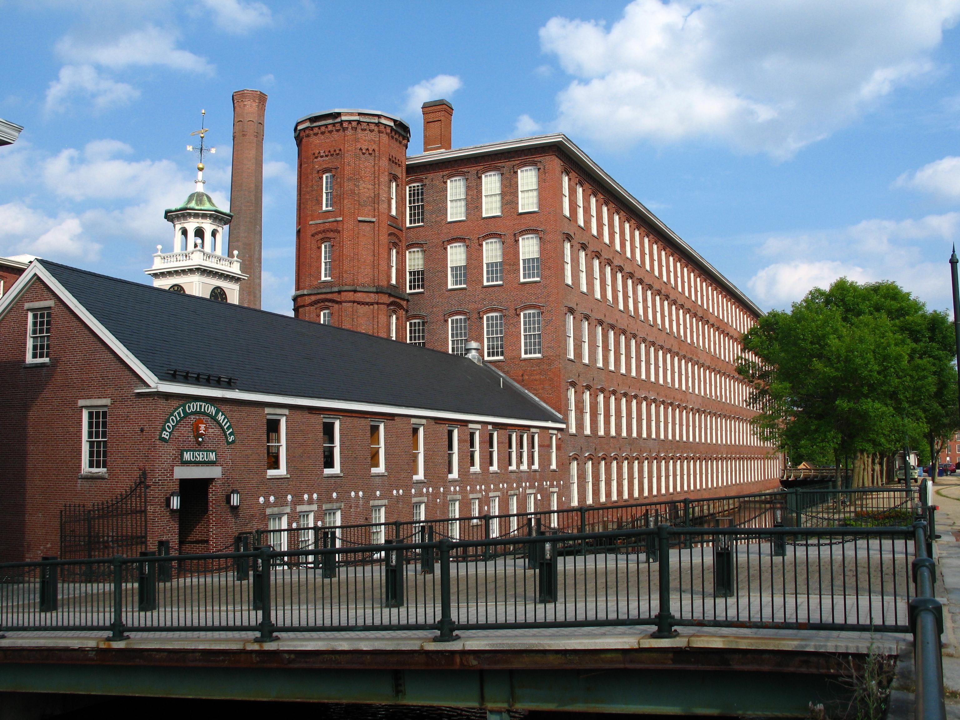
Lowell’s water-powered textile mills catapulted the nation – including immigrant families and early female factory workers – into an uncertain new industrial era. Nearly 200 years later, the changes t...
26 mi from route
~65 min detour
Free
near mile 27.9
Park data from the National Park Service API. Alerts update every 2 hours.
Fuel & Cost
Regular Gas
$4.44 one way
$8.88 round trip
$4.04/gal25.4 MPG avg10 kg CO2
Fuel Type
$/gal
One Way
Round Trip
midgrade
$4.40
$4.83
$9.66
premium
$4.80
$5.27
$10.54
diesel
$5.64
$6.20
$12.40
No toll roads detected on this route.
Estimated Trip Cost (one way, 1 person)
Fuel
$4
Meals
$25–$50
Total
$29–$54
Rough estimate based on US averages. Hotel $80–$140/night, meals $25–$50/day.
Estimated CO2 emission: 9.8 kg one way.
Prices: EIA weekly data, 2026-04-06.
Driving Electric?
About $3 in charging
· 0 stops
· 70% less CO2
Vehicle Type
kWh
Stops
DC Fast
Home Charge
Average EV
8.4
0
$2.93
$1.34
Efficient EV
7
0
$2.44
$1.12
EV Truck/SUV
11.2
0
$3.91
$1.79
Gas CO2
10 kg
EV CO2
3 kg (70% less)
This trip is well within single-charge range for most EVs. No charging stops needed if you start fully charged.
DC fast charging avg $0.35/kWh. Home charging avg $0.16/kWh. US grid CO2: 0.39 kg/kWh.
Travel Intel
Current conditions at both ends of the drive.
Forecast as of Apr 15, 2026
Origin
Norton, MA
Evening
in Norton on Wednesday
Local time
7:55 PM
EDT
Current temp
42°F
Unavailable
Live forecast
Destination
Framingham, MA
Evening
in Framingham on Wednesday
Local time
7:55 PM
EDT
Current temp
51°F
Unavailable
Live forecast
Seasonal Notes
Summer travel usually means heavier construction, hotter rest stops, and busier weekend traffic around major cities.
Winter travel shortens daylight, so a route that looks manageable on paper can feel much longer after dark.
Holiday weekends tend to make both departure and arrival windows slower than the raw route time suggests.
Time zone
Same local time
Origin and destination are on the same clock, so arrival timing is easier to judge at a glance.
Temperature spread
9 degrees warmer at arrival
A meaningful temperature swing is a good cue to rethink layers, water, and how soon you want to arrive.
Road read
47m on the road
Use the two city cards together: check the sky where you start, then compare it with the local time and temperature at arrival.
Weather data from the National Weather Service. Conditions may change; check closer to your travel date.
Frequently Asked Questions
The drive from Norton, MA to Framingham, MA covers 27.9 miles and takes about 47m without stops. Add 15-30 minutes for a fuel or rest stop on longer drives.
The main roads are South Main Street, MA 140, Mansfield Avenue. Expect a mix of highway and local road driving.
This is a comfortable same-day trip.
The midpoint is about 13.9 miles from Norton, MA. Look for rest areas, gas stations, or food options near the halfway mark.
At current regular gas prices, expect to spend about $4.44 one way. This estimate uses 25.4 MPG — your actual cost will vary with your vehicle's fuel efficiency and current gas prices.
Leave by 9 AM and you'll arrive before lunch. Even a 4 PM departure gets you there before dark in summer.
This drive requires moderate attention. Across 27.9 miles you will encounter 19 spots where lane choice or exit timing matters. Not difficult for experienced highway drivers, but worth previewing the tricky sections before you go.
The main spots that need attention: near the start (MA 140 / Taunton Avenue): Navigation decision point; at 0.1 miles (MA 123; MA 140 / East Main Street): Navigation decision point; at 0.1 miles (MA 140 / Mansfield Avenue): Lane positioning matters here.
The route from Norton, MA to Framingham, MA does not surface many named destination signs beyond the main corridor.