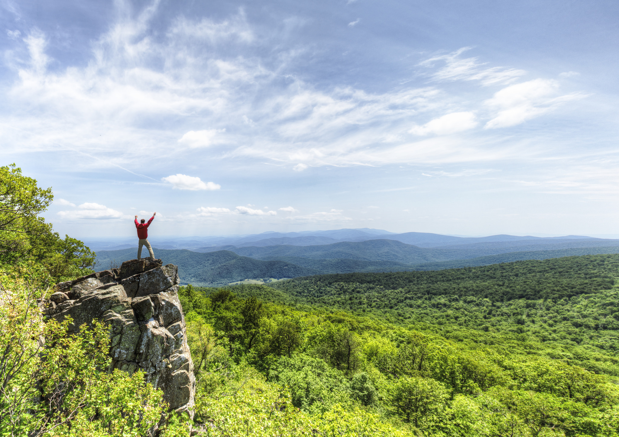
Shenandoah National Park
National Park
Just 75 miles from the bustle of Washington, D.C., Shenandoah National Park is a land bursting with cascading waterfalls, spectacular vistas, fields of wildflowers, and quiet wooded hollows. With over...
15 mi from route
~39 min detour
$30
near mile 126.1
Caution: 4/13/26 Fire ban in effect
Caution: Parking at Boundary Access Areas