Sacramento to Tamalpais Valley is 88.1 miles and takes about 1 hour 53 minutes via Dwight D. Eisenhower Highway, with a fuel budget near $20 and enough daylight to finish in a day. This drive takes you from the Pacific Coast region to another part of the Pacific Coast, staying within California the entire way. Expect a route that involves frequent turns, making it less about high-speed cruising and more about navigating local roads. Given its relatively short duration and moderate fuel cost, this trip is well-suited for a single-day excursion, offering a manageable journey with plenty of flexibility.
Trip Pace
Same-day drive is realistic
A same-day return is realistic if you keep stops short.
Midpoint
44 miles from Sacramento, CA
A natural place for your longest stop of the day
, about 52m into the drive
.
Main Roads
Road
Distance
Duration
Dwight D. Eisenhower Highway
50.1 mi
58m
John T. Knox Freeway
5.6 mi
8m
Richmond Parkway
5.1 mi
6m
Redwood Highway
4.2 mi
5m
Yolo Causeway
3.9 mi
4m
Linus F. Claeys Freeway
3.4 mi
3m
Capital City Freeway
3.2 mi
3m
Eastshore Freeway
3.2 mi
3m
Longest stretch:
Dwight D. Eisenhower Highway
— 50.1 mi, about 58m
Turn-by-Turn Driving Directions
Step-by-step road directions between Sacramento, CA and Tamalpais Valley, CA.
1
Start on 9th Street
0.5 mi·1 min·9th Street
2
Turn right onto P Street
0.5 mi·1 min·P Street
3
Take the ramp
0.2 mi·17 sec
Toward US 50, I 5 South: South Lake Tahoe, San Francisco, Los Angeles
4
Keep slight left at fork
0.2 mi·12 sec
Toward US 50: South Lake Tahoe, San FranciscoUse the slight left lane.
5
Keep slight right at fork
0.4 mi·39 sec
Exit 518Toward US 50 West: San FranciscoUse the slight right lane.
6
Merge onto US 50; I 80 Business
3.2 mi·3 min·Capital City Freeway
Use the straight / slight right lanes.
7
Continue on I 80
3.9 mi·4 min·Yolo Causeway
Use the straight / slight right lanes.
8
Continue on I 80
50 mi·58 min·Dwight D. Eisenhower Highway
Use the straight / slight right lanes.
9
Continue on I 80
1.0 mi·1 min·Carquinez Bridge
Use the straight / slight right lanes.
10
Continue on I 80
0.3 mi·24 sec·Eastshore Freeway
11
Continue on I 80
3.4 mi·3 min·Linus F. Claeys Freeway
Use the straight / slight right lanes.
12
Continue on I 80
2.8 mi·3 min·Eastshore Freeway
13
Take the exit
0.3 mi·33 sec
Exit 20Toward San Rafael, Fitzgerald DriveUse the straight / slight right lanes.
14
Turn right onto Richmond Parkway
5.1 mi·6 min·Richmond Parkway
Use the right lane.
15
Turn slight right onto Castro Street
1.7 mi·2 min·Castro Street
Use the straight lane.
16
Take the ramp
0.3 mi·35 sec
Toward I 580 West: San RafaelUse the left lane.
17
Merge onto I 580
5.6 mi·8 min·John T. Knox Freeway
Use the straight / slight right lanes.
18
Take the exit
0.4 mi·35 sec
Exit 2AToward Sir Francis Drake BoulevardUse the slight right lane.
19
Keep slight left at fork onto Sir Francis Drake Boulevard East
1.5 mi·2 min·Sir Francis Drake Boulevard East
Use the straight lane.
20
Take the ramp
0.3 mi·35 sec
Toward US 101 South: San FranciscoUse the left / straight lanes.
21
Merge onto US 101
4.2 mi·5 min·Redwood Highway
Use the straight lane.
22
Take the exit
0.2 mi·56 sec
Toward CA 1 North: Stinson BeachUse the straight / slight right lanes.
23
Turn sharp right onto CA 1
0.1 mi·24 sec·CA 1
24
At end of road, turn left onto CA 1
0.5 mi·1 min·Shoreline Highway
Use the left lane.
25
Continue on CA 1
0.8 mi·1 min·Shoreline Highway
26
Turn left onto Maple Street
34 ft·6 sec·Maple Street
27
Turn right onto Northern Avenue
0.3 mi·1 min·Northern Avenue
28
At end of road, turn left onto Northern Avenue
0.2 mi·54 sec·Northern Avenue
29
Arrive at destination
Northern Avenue
Trip Plan
Since this 88.1-mile drive is estimated to take under two hours, you have a lot of flexibility in when you depart. Leaving Sacramento in the morning will put you in Tamalpais Valley before midday, leaving plenty of time for afternoon activities. With a fuel cost estimated around $20, keeping your tank full is a good idea, especially since the "turn-heavy local drive" profile suggests you might not encounter many services during the more intricate parts of the route. Pay close attention to your navigation, as frequent turns are a defining characteristic of this journey.
Morning Departure
Leave by 9 AM and you'll arrive before lunch.
Evening Departure
Even a 4 PM departure gets you there before dark in summer.
You can normally do this drive in one day.
You may only need one short stretch break if traffic stays light.
The halfway point lands around 44 miles from Sacramento, CA, or about 52m into the drive.
The longest continuous stretch on this route runs about 50.1 miles.
This is a comfortable same-day trip.
Departure
Before you leave
Start with fuel, water, and navigation already sorted so the first hour feels easy.
First stop
Around 19 miles or 23m in
Use this first pause for coffee, a restroom break, and a quick traffic check ahead.
Halfway reset
Around 44 miles or 52m in
This is the best place for your longest stop, a real meal, and a full fuel check.
Final approach
Final hour starts around 1h 30m
Traffic, exits, and arrival timing usually matter more near Tamalpais Valley, CA than in the middle of the route.
Before You Leave
+
Open the route before leaving Sacramento, CA so your first major turns are already loaded.
Day 1
Settle into the route from Sacramento, CA
This is one driving day of about 88.1 miles and 1h 53m.
Your first comfortable stop window is around 19 miles from Sacramento, CA.
This route can stay practical as a one-day drive if traffic stays reasonable.
The longest stretch is on Dwight D. Eisenhower Highway for about 50.1 miles.
Where to Stop
Rest stops, refuel points, and overnight suggestions along this route.
The midpoint is around 44 miles from Sacramento, CA, which is a good place for a longer meal and fuel stop.
These stop ideas are pacing suggestions — the exact town or exit can change with traffic, hotel plans, and fuel range.
Heads-up: tricky spots
5 of 20
5 decision points cluster between mile 1.3 and 79.5 — GPS handles the exact turns, but know they're coming. Your lane choice matters more than the turn itself.
9
1.3 mi into trip|~2m in
Keep slight left at fork toward US 50: South Lake Tahoe, San Francisco
Highway fork - watch signs carefully. Lane positioning matters here. Multiple destination signs - pick the right one
Use the slight left lane.
Toward US 50: South Lake Tahoe, San Francisco
8
1.5 mi into trip|~3m in
Keep slight right at fork toward US 50 West: San Francisco
Highway fork - watch signs carefully. Lane positioning matters here
Use the slight right lane.
Exit 518
Toward US 50 West: San Francisco
8
66.6 mi into trip|~1h 18m in
Take the exit toward San Rafael, Fitzgerald Drive
Exit ramp - move to the correct lane early. Lane positioning matters here. Multiple destination signs - pick the right one
Use the straight / slight right lanes.
Exit 20
Toward San Rafael, Fitzgerald Drive
7
73.7 mi into trip|~1h 28m in
Take the ramp toward I 580 West: San Rafael
Lane positioning matters here
Use the left lane.
Toward I 580 West: San Rafael
7
79.5 mi into trip|~1h 37m in
Take the exit toward Sir Francis Drake Boulevard
Exit ramp - move to the correct lane early. Lane positioning matters here
Use the slight right lane.
Exit 2A
Toward Sir Francis Drake Boulevard
Fuel & Cost
Regular Gas
$20.25 one way
$40.50 round trip
$5.84/gal25.4 MPG avg31 kg CO2
Fuel Type
$/gal
One Way
Round Trip
midgrade
$6.02
$20.87
$41.73
premium
$6.18
$21.42
$42.85
diesel
$5.61
$19.45
$38.90
No toll roads detected on this route.
Estimated Trip Cost (one way, 1 person)
Fuel
$20
Meals
$25–$50
Total
$45–$70
Rough estimate based on US averages. Hotel $80–$140/night, meals $25–$50/day.
Estimated CO2 emission: 30.8 kg one way.
Prices: EIA weekly data, 2026-04-13.
Driving Electric?
About $9 in charging
· 0 stops
· 68% less CO2
Vehicle Type
kWh
Stops
DC Fast
Home Charge
Average EV
26.4
0
$9.25
$4.23
Efficient EV
22
0
$7.71
$3.52
EV Truck/SUV
35.2
0
$12.33
$5.64
Gas CO2
31 kg
EV CO2
10 kg (68% less)
This trip is well within single-charge range for most EVs. No charging stops needed if you start fully charged.
DC fast charging avg $0.35/kWh. Home charging avg $0.16/kWh. US grid CO2: 0.39 kg/kWh.
Travel Intel
Current conditions at both ends of the drive.
Forecast as of Apr 16, 2026
Origin
Sacramento, CA
Afternoon
in Sacramento on Saturday
Local time
1:21 PM
PDT
Current temp
68°F
Sunny
NNW 13 to 18 mph0% chanceLive forecast
Freeze Warning
Freeze Warning issued April 16 at 10:43AM PDT until April 17 at 11:00AM PDT by NWS Medford OR
Wind Advisory
Wind Advisory issued April 16 at 10:32AM PDT until April 17 at 11:00AM PDT by NWS Hanford CA
Destination
Tamalpais Valley, CA
Afternoon
in Tamalpais Valley on Saturday
Local time
1:21 PM
PDT
Current temp
58°F
Unavailable
Live forecast
Seasonal Notes
Summer travel usually means heavier construction, hotter rest stops, and busier weekend traffic around major cities.
Winter travel shortens daylight, so a route that looks manageable on paper can feel much longer after dark.
Holiday weekends tend to make both departure and arrival windows slower than the raw route time suggests.
Time zone
Same local time
Origin and destination are on the same clock, so arrival timing is easier to judge at a glance.
Temperature spread
10 degrees cooler at arrival
A meaningful temperature swing is a good cue to rethink layers, water, and how soon you want to arrive.
Road read
1h 53m on the road
The weather snapshot is not static. If you are leaving later, give both cities one more quick forecast check before departure.
Weather data from the National Weather Service. Conditions may change; check closer to your travel date.
National Parks Near This Route
Worth a detour if your schedule allows.
Muir Woods National Monument
National Monument
Walk among old growth coast redwoods, cooling their roots in the fresh water of Redwood Creek and lifting their crowns to reach the sun and fog. Federally protected as a National Monument since 1908,...
Rosie the Riveter WWII Home Front National Historical Park
National Historical Park
Celebrate and honor the contributions and sacrifices of American civilians on the WWII home front. Discover how diverse communities lived, worked, and interacted. Many faces, many stories, many truths...
Experience a park so rich it supports 19 distinct ecosystems with over 2,000 plant and animal species. Go for a hike, enjoy a vista, have a picnic or learn about the centuries of overlapping history f...
Established in 1988, San Francisco Maritime National Historical Park celebrates America’s maritime heritage on the Pacific Coast. Our 50-acre park has grown around Aquatic Park Cove, a protected area...
8 mi from route
~19 min detour
Free
near mile 85.1
On July 17, 1944, a massive explosion jolted the San Francisco East Bay area, shattering windows and lighting up the night sky. At Port Chicago Naval Magazine, 320 men were killed instantly when two s...
11 mi from route
~28 min detour
Free
near mile 57.7
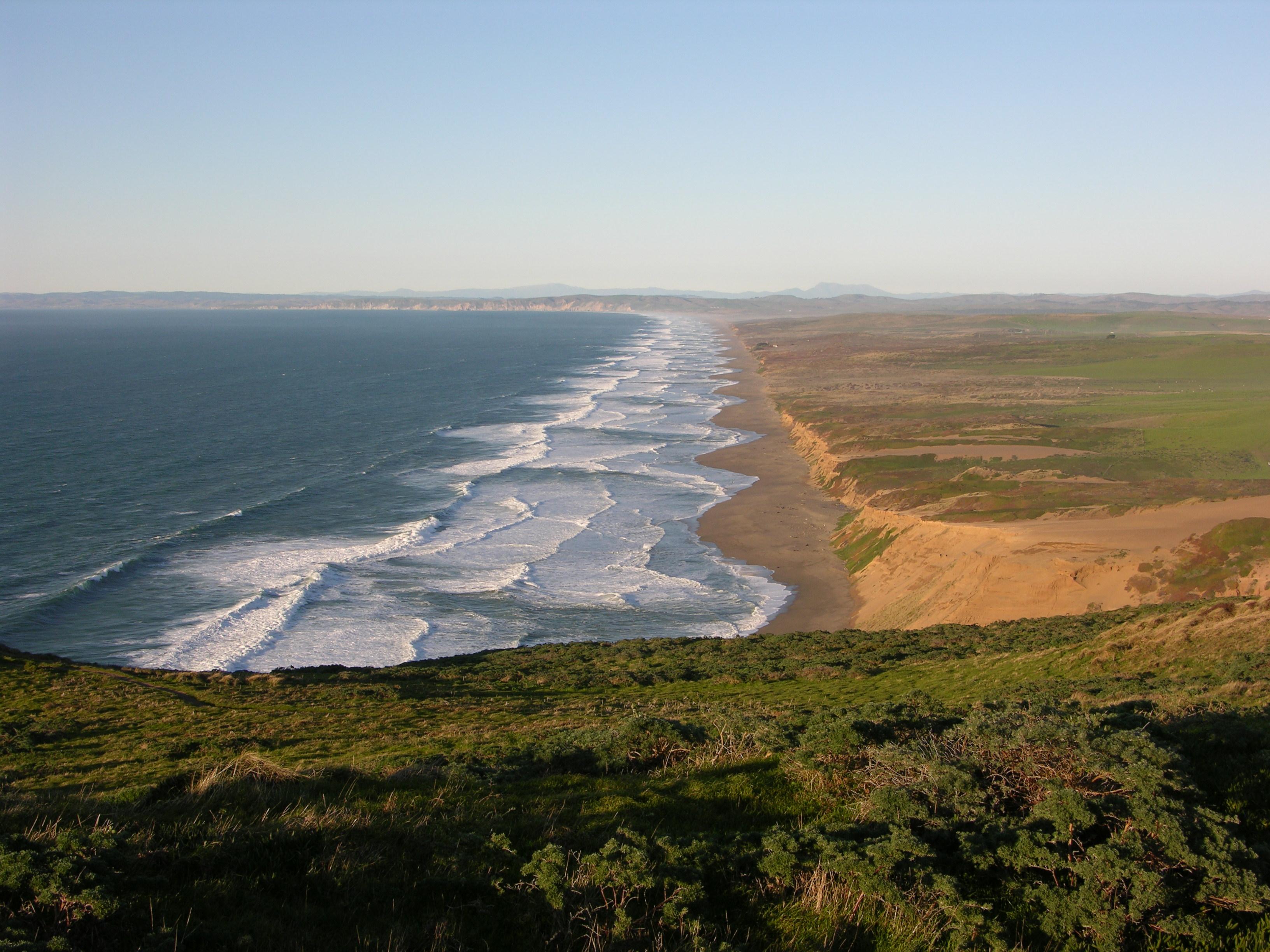
From its thunderous ocean breakers crashing against rocky headlands and expansive sand beaches to its open grasslands, brushy hillsides, and forested ridges, Point Reyes offers visitors over 1500 spec...
Park data from the National Park Service API. Alerts update every 2 hours.
More Details
What kind of drive is this?
This route is characterized as a "turn-heavy local drive," meaning you'll be making numerous directional changes rather than settling into long stretches of highway. Only 23% of the drive is on highways, so be prepared for a more engaged driving experience. The longest uninterrupted segment is 50.1 miles, primarily on the Dwight D. Eisenhower Highway, offering a brief period of consistent travel before the road network becomes more intricate. As you progress, the drive will likely transition from more open roadways to more developed local streets as you approach your destination.
Only 23% highway — the rest is turn-by-turn surface driving.
29 navigation steps total — most of the decisions cluster near the start and finish.
Longest single stretch: 50.1 mi on Dwight D. Eisenhower Highway.
How Hard Is This Drive?
10/10
Expect a hands-on drive with frequent turns and local roads rather than long highway stretches. This route has several spots where lane changes, forks, or exits need your full attention. The trickiest moment comes around 1.3 miles in.
Driving Effort10/10
Demanding - stay alert through the decision-heavy sections
Balances navigation complexity with total wheel time.
This drive requires moderate attention. Across 88.1 miles you will encounter 20 spots where lane choice or exit timing matters. Not difficult for experienced highway drivers, but worth previewing the tricky sections before you go.
Where does it get tricky?
The main spots that need attention: at 1.3 miles: Highway fork - watch signs carefully. Lane positioning matters here. Multiple destination signs - pick the right one; at 1.5 miles: Highway fork - watch signs carefully. Lane positioning matters here; at 66.6 miles: Exit ramp - move to the correct lane early. Lane positioning matters here. Multiple destination signs - pick the right one.
Towns Mentioned on Route Signs
Based on OSRM destination-sign hints, not a full list of every settlement the road passes.
On the drive from Sacramento, CA to Tamalpais Valley, CA, road signs begin pointing toward San Rafael along the way.
Sacramento is the state capital of California in the United States. It is the regional center for the Greater Sacramento metropolitan area, which dominates much of the surrounding Sacramento Valley and stretches into parts of Gold Country.
Sacramento is the oldest incorporated city in California, settled between the confluences of the Sacramento and American rivers. The city has been the site of many important historic events that have shaped California and U.S. history, most notably the California Gold Rush and location of the original terminus of the First Transcontinental Railroad. Much of this historical legacy has been preserved, especially in the historic Old Sacramento district, where buildings and railroads from that era continue to attract visitors.
However, Sacramento is not a city that is stuck in the past. As the capital of the most populous U.S.
Top landmarks
•California State Capitol — state capitol building of the U.S. state of California
•Crocker Art Museum — art museum in Sacramento, California
•Sacramento Valley Station — main railroad and light rail station in Sacramento, California
Doable as a same-day drive at 1h 53m. Total distance: 88.1 miles.
Family Friendly
Moderate complexity with 0 natural rest stops along the way.
Solo Traveler
1h 53m drive, comfortable solo distance.
Scenic Drive
Mostly surface roads route profile with national parks nearby.
Frequently Asked Questions
The longest stretch is about 50.1 miles on Dwight D. Eisenhower Highway. The full list of main roads is in the Roads section above.
It helps. This route has a higher-than-average number of complex decision points, which get harder in the dark. If the last hour of the trip is on surface roads or mountain grades, aim to arrive at Tamalpais Valley, CA before sunset when you can. Check the Trip Plan for departure windows that land you in daylight.
Yes. At under 2 hours behind the wheel, this works well for families — plan one quick stop if you have younger kids.
The main spots that need attention: at 1.3 miles: Highway fork - watch signs carefully. Lane positioning matters here. Multiple destination signs - pick the right one; at 1.5 miles: Highway fork - watch signs carefully. Lane positioning matters here; at 66.6 miles: Exit ramp - move to the correct lane early. Lane positioning matters here. Multiple destination signs - pick the right one.
Yes — Muir Woods National Monument, Rosie the Riveter WWII Home Front National Historical Park and Golden Gate National Recreation Area (6 total within detour distance). See the National Parks section for detour distances and tips on detours.
Yes. A round trip is manageable in a single day if you plan a break at Tamalpais Valley, CA before heading back.
How this page is built
Compiled by the Trip.ovh planning team at COD Solutions Oy from open government datasets — OSRM over OpenStreetMap for geometry, EIA for fuel prices, and NPS for national parks. See our methodology for refresh cadence and limitations.