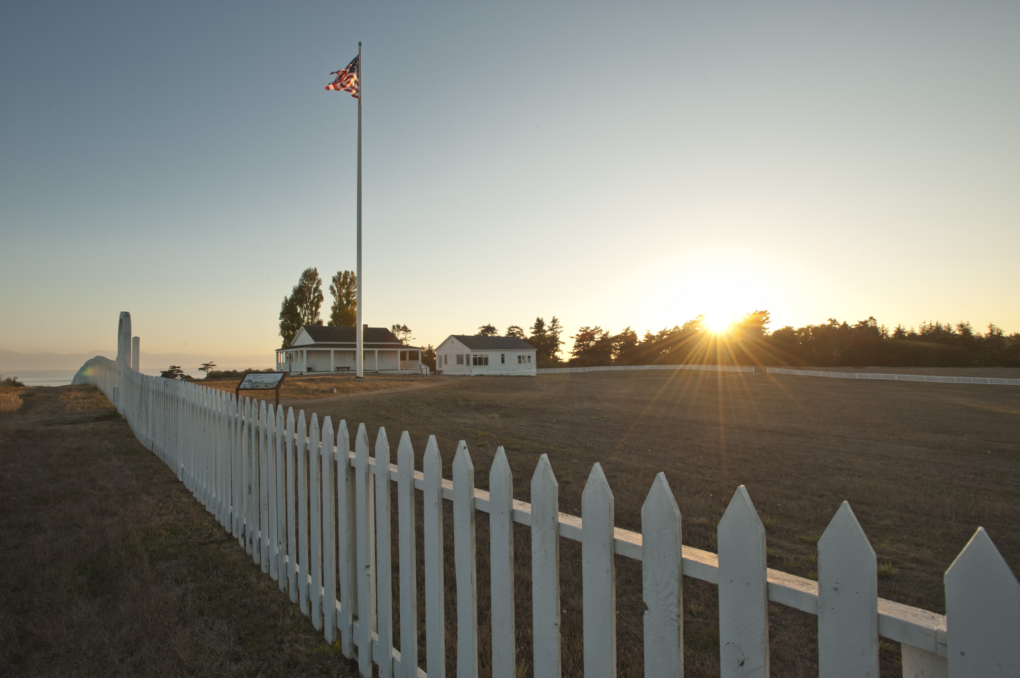
Olympic National Park
National Park
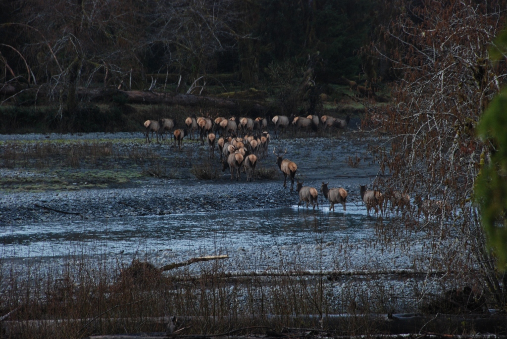
With its incredible range of precipitation and elevation, diversity is the hallmark of Olympic National Park. Encompassing nearly a million acres, the park protects a vast wilderness, thousands of yea...
18 mi from route
~46 min detour
$30
near mile 37.9
Park Closure: Hurricane Ridge Road Status 4/16/26
Park Closure: Staircase, Adjacent Wilderness Areas Closed due to Bear Gulch Fire Impacts