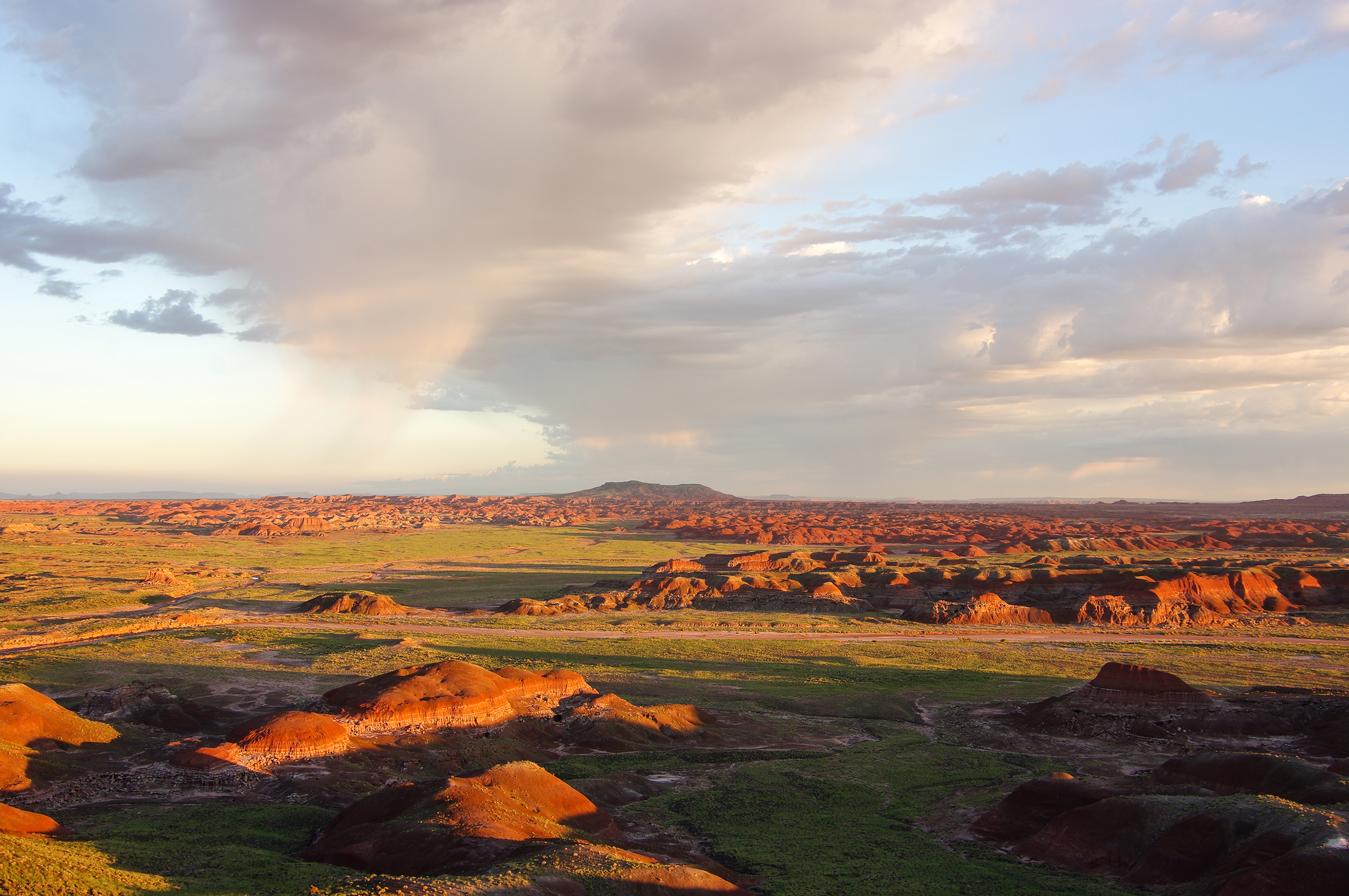
Canyon de Chelly National Monument
National Monument
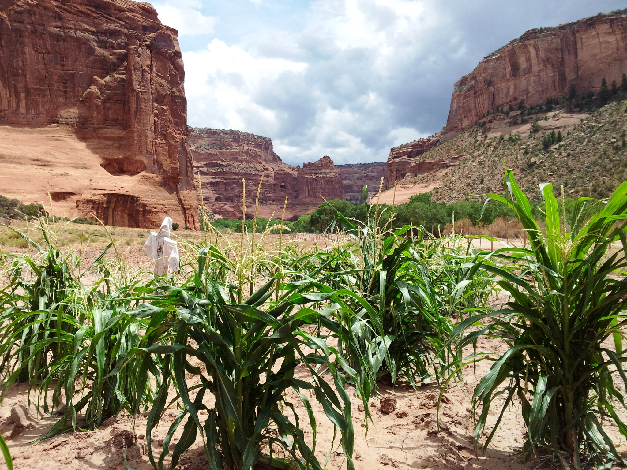
This canyon is home to Diné families who raise livestock, grow crops and live here. People have lived in these canyons for nearly 5,000 years, which is longer than anyone has lived continuously on the...
14 mi from route
~35 min detour
Free
near mile 164
View on nps.gov