


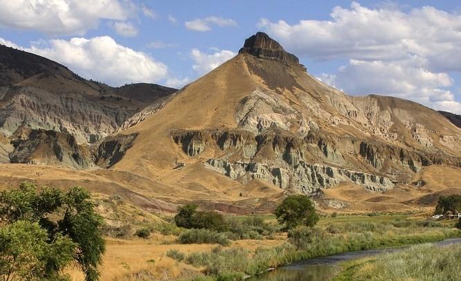
John Day Fossil Beds National Monument
National Monument
Large rhino-like brontotheres roam a semitropical forest. Dog-sized, three-toed horses dart between the trees. The cat-like nimravid and bear dogs stalk their prey. The climate cools and forests alter...
6 mi from route
~16 min detour
Free
near mile 205.3
Caution: Blue Basin Overlook Trail Closed