The drive from St. Marys, GA to Augusta, GA covers 223.5 miles and takes about 4h 32m behind the wheel.
This route is realistic as a one-day drive if you keep your stops efficient.
The route leans on I 95, GA 21, Main Street for much of the mileage,
and the overall profile is highway-focused drive.
The longest uninterrupted segment is about 103.7 miles on I 95.
At current regular gas prices, budget about $34.95 one way before food or hotel costs.
Trip Pace
Same-day drive is realistic
A same-day return is possible, but it will make for a full day on the road.
Break Rhythm
1 planned break
Plan on a short reset every 3 to 4 hours to stay fresh behind the wheel.
Midpoint
111.8 miles from St. Marys, GA
A natural place for your longest stop of the day
, about 2h 5m into the drive
.
Who Is This Route For?
Weekend Trip
Doable as a same-day drive at 4h 32m. Total distance: 223.5 miles.
Family Friendly
Moderate complexity with 1 natural rest stops along the way.
Solo Traveler
4h 32m drive, comfortable solo distance.
First-Time Driver
Mostly highway driving (78%). Some complex stretches to watch for.
Drive Character
This is a 4h 32m highway drive covering 223.5 miles, with most of the trip on I 95 and GA 21. The longest continuous stretch is about 103.7 miles on I 95.
Most of the miles stay on highways, which makes pacing and fuel planning easier than turn-by-turn city driving.
There are about 32 navigation steps in the underlying route data, so the final approach matters more than the middle miles.
I 95 is the longest continuous segment at about 103.7 miles.
How Hard Is This Drive?
This is a straightforward highway drive that stays mostly on I 95 and GA 21. You will hit about 15 points where you need to pay attention to lane position or signs. The trickiest moment comes early in the drive near GA 40 / Osborne Street.
Driving Effort6/10
Moderate - straightforward overall, but long enough or busy enough to require pacing
Balances navigation complexity with total wheel time.
This drive requires moderate attention. Across 223.5 miles you will encounter 15 spots where lane choice or exit timing matters. Not difficult for experienced highway drivers, but worth previewing the tricky sections before you go.
Where does it get tricky?
The main spots that need attention: near the start (GA 40 / Osborne Street): Navigation decision point; at 103.1 miles (I 95): Highway fork - watch signs carefully. Lane positioning matters here; at 112.5 miles: Exit ramp - move to the correct lane early. Lane positioning matters here.
Critical Maneuvers
5 of 15 key points
These are the spots where you need to pay the most attention. Preview them before you drive.
4
0 mi into trip|~0m in|GA 40 / Osborne Street
Turn left onto GA 40 / Osborne Street
Navigation decision point
6
103.1 mi into trip|~1h 56m in|I 95
Keep slight left at fork onto I 95
Highway fork - watch signs carefully. Lane positioning matters here
Use the straight / slight right lanes.
7
112.5 mi into trip|~2h 6m in
Take the exit toward GA 21: Port Wentworth
Exit ramp - move to the correct lane early. Lane positioning matters here
Use the straight / slight right lanes.
Exit 109
Toward GA 21: Port Wentworth
9
112.8 mi into trip|~2h 6m in
Keep slight left at fork toward GA 21 North, GA 30 West
Highway fork - watch signs carefully. Lane positioning matters here. Multiple destination signs - pick the right one
Use the left lane.
Toward GA 21 North, GA 30 West
5
112.9 mi into trip|~2h 7m in|GA 21; GA 30; I 3 FUT / Augusta Road
Merge onto GA 21; GA 30; I 3 FUT / Augusta Road
Merge point - match speed before joining. Lane positioning matters here
Use the left lane.
Main Roads
Road
Distance
Duration
I 95
103.7 mi
1h 52m
GA 21
44.2 mi
50m
Main Street
19.5 mi
26m
GA 56
15.5 mi
22m
Millhaven Road
7.5 mi
10m
GA 24
5.4 mi
7m
US 301
4.5 mi
5m
Girard Millhaven Road
3.4 mi
4m
Longest stretch:
I 95
— 103.7 mi, about 1h 52m
Turn-by-Turn Driving Directions
Step-by-step road directions between St. Marys, GA and Augusta, GA.
1
Start on 41703
77 ft·8 sec·West Hall Street
2
Turn left onto GA 40
3.0 mi·4 min·Osborne Street
3
Continue on GA 40
3.0 mi·4 min·Kingsland Saint Marys Road
4
Continue on GA 40
2.2 mi·3 min·East King Avenue
5
Take the ramp
0.5 mi·1 min
Toward I 95 North: I 95 North
6
Merge onto I 95
94 mi·1 hr 42 min·I 95
7
Keep slight left at fork onto I 95
9.4 mi·10 min·I 95
Use the straight / slight right lanes.
8
Take the exit
0.3 mi·39 sec
Exit 109Toward GA 21: Port WentworthUse the straight / slight right lanes.
9
Keep slight left at fork
393 ft·11 sec
Toward GA 21 North, GA 30 WestUse the left lane.
10
Merge onto GA 21; GA 30; I 3 FUT
3.3 mi·3 min·Augusta Road
Use the left lane.
11
Continue on GA 21; I 3 FUT
2.2 mi·2 min·GA 21; I 3 FUT
12
Continue on GA 21; I 3 FUT
42 mi·48 min·GA 21; I 3 FUT
Use the straight lane.
13
Turn right onto GA 21 Business
1.5 mi·2 min·South Main Street
14
Continue on US 301 Business; GA 73; GA 21 Business
1.0 mi·1 min·North Main Street
15
Turn slight left onto US 301 Business; GA 73
299 ft·6 sec·US 301 Business; GA 73
16
Turn right onto US 301; GA 73 Loop
4.5 mi·5 min·US 301; GA 73 Loop
17
Take the exit onto GA 24
5.4 mi·7 min·GA 24
18
Turn right onto Millhaven Road
1.9 mi·2 min·Millhaven Road
19
Continue on Milhaven Road
1.2 mi·1 min·Milhaven Road
20
Turn straight onto Girard Millhaven Road
3.4 mi·4 min·Girard Millhaven Road
21
Continue on Millhaven Road
5.6 mi·7 min·Millhaven Road
22
Continue on GA 23
19 mi·26 min·Main Street
23
At end of road, turn right onto GA 56
15 mi·22 min·GA 56
24
Turn slight right
395 ft·17 sec
25
Continue on Old Savannah Road
0.8 mi·1 min·Old Savannah Road
26
Turn right onto US 1; US 25; US 78; US 278; GA 10; GA 121
438 ft·10 sec·Gordon Highway
27
Turn left onto Old Savannah Road
1.3 mi·3 min·Old Savannah Road
28
Turn slight left onto 12th Street
0.8 mi·2 min·12th Street
29
Turn right onto Laney Walker Boulevard
0.1 mi·19 sec·Laney Walker Boulevard
30
Turn left onto 11th Street
0.4 mi·43 sec·11th Street
31
Turn left onto Walton Way
282 ft·12 sec·Walton Way
32
Arrive at destination
Walton Way
Trip Plan
Morning Departure
An early start around 7-8 AM gets you there with plenty of daylight left.
Evening Departure
A late afternoon start means arriving after dark. Morning is better.
You can normally do this drive in one day.
Plan roughly 1 meaningful break for fuel, food, and rest.
The halfway point lands around 111.8 miles from St. Marys, GA, or about 2h 5m into the drive.
The longest continuous stretch on this route runs about 103.7 miles.
This is a comfortable same-day trip.
Departure
Before you leave
Start with fuel, water, and navigation already sorted so the first hour feels easy.
First stop
Around 49 miles or 57m in
Use this first pause for coffee, a restroom break, and a quick traffic check ahead.
Halfway reset
Around 111.8 miles or 2h 5m in
This is the best place for your longest stop, a real meal, and a full fuel check.
Final approach
Final hour starts around 3h 32m
Traffic, exits, and arrival timing usually matter more near Augusta, GA than in the middle of the route.
Before You Leave
+
Open the route before leaving St. Marys, GA so your first major turns are already loaded.
+
Leave with enough water and a charging cable within reach, not packed away.
+
Check your fuel range against the first long segment, especially if you are starting outside city service areas.
Day 1
Settle into the route from St. Marys, GA
This is one driving day of about 223.5 miles and 4h 32m.
Your first comfortable stop window is around 49 miles from St. Marys, GA.
This route can stay practical as a one-day drive if traffic stays reasonable.
Plan about 1 real break rather than only quick fuel stops.
The longest stretch is on I 95 for about 103.7 miles.
Where to Stop
Rest stops, refuel points, and overnight suggestions along this route.
Halfway Point
Midpoint
About 111.8 mi from St. Marys, GA
· 2h 5m into the drive
The midpoint is around 111.8 miles from St. Marys, GA, which is a good place for a longer meal and fuel stop.
Before the longest stretch
Fuel check
Top up before I 95 if your tank is already low. That segment runs about 103.7 miles.
Arriving in Augusta, GA
The final approach into Augusta, GA usually feels slower than the middle of the drive, so avoid planning your tightest schedule at the very end.
Try to arrive with enough fuel left to skip an immediate station stop unless you already know the area around Augusta, GA.
After long uninterrupted mileage, take five minutes before the last urban segment to reset and refocus on exits, merges, and city traffic.
These stop ideas are pacing suggestions — the exact town or exit can change with traffic, hotel plans, and fuel range.
National Parks Near This Route
Worth a detour if your schedule allows.
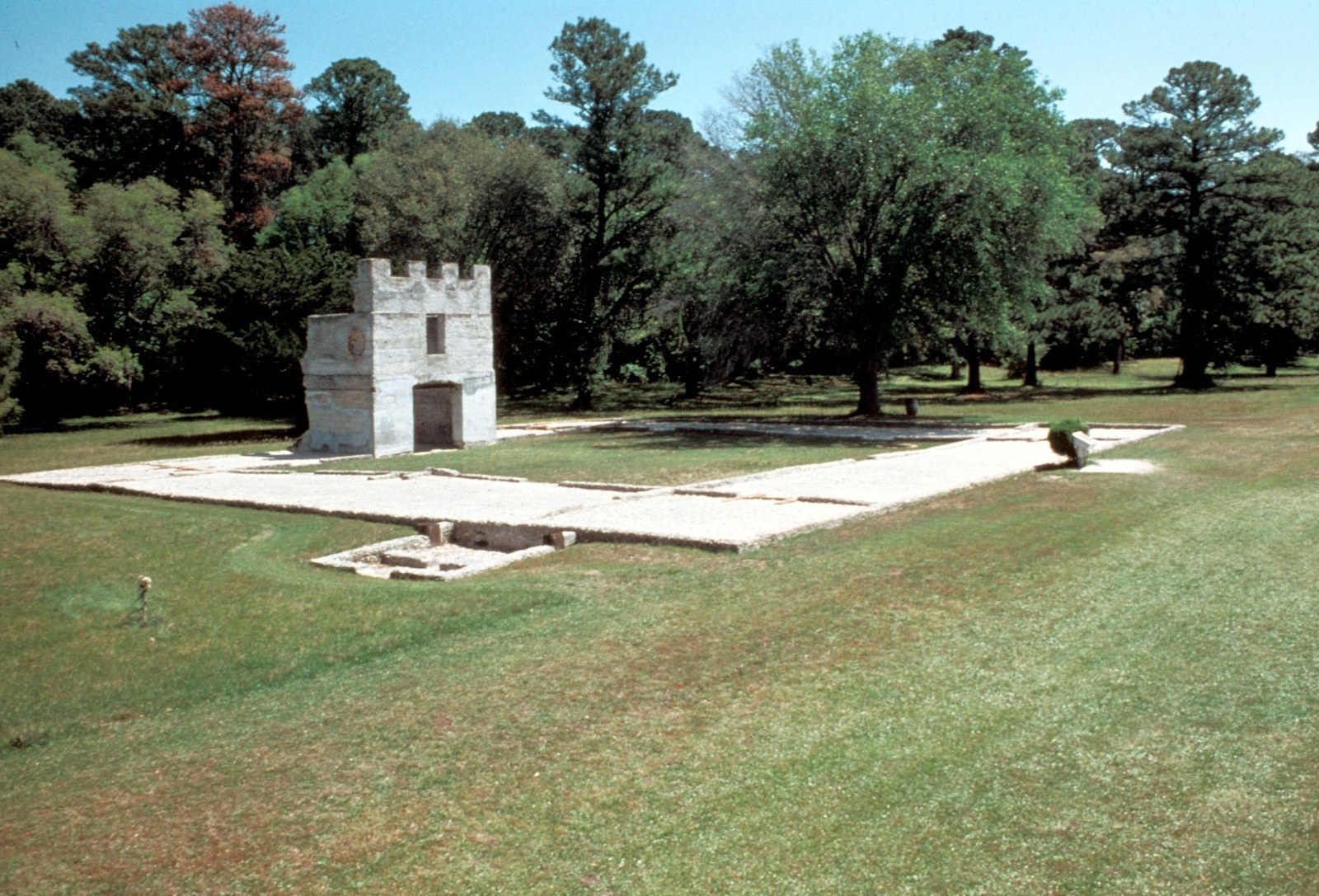
Fort Frederica National Monument
National Monument
War was imminent as James Oglethorpe established Fort Frederica in 1736, to help protect the British colonies from the Spanish in Florida. Fort Frederica illustrates the story of the War of Jenkins Ea...
7 mi from route
~18 min detour
Free
near mile 46.2
St Marys is the gateway to Cumberland Island, Georgia's largest and southernmost barrier island. Here pristine maritime forests, undeveloped beaches and wide marshes whisper the stories of both man an...
For much of the 19th century, masonry fortifications were the United States’ main defense against overseas enemies. However, during the Civil War, new technology proved its superiority over these fort...
19 mi from route
~48 min detour
$10
near mile 107.9
Park data from the National Park Service API. Alerts update every 2 hours.
Fuel & Cost
Regular Gas
$34.95 one way
$69.90 round trip
$3.97/gal25.4 MPG avg78 kg CO2
Fuel Type
$/gal
One Way
Round Trip
midgrade
$4.34
$38.21
$76.43
premium
$4.70
$41.37
$82.73
diesel
$5.61
$49.35
$98.69
No toll roads detected on this route.
Estimated Trip Cost (one way, 1 person)
Fuel
$35
Meals
$25–$50
Total
$60–$85
Rough estimate based on US averages. Hotel $80–$140/night, meals $25–$50/day.
Estimated CO2 emission: 78.2 kg one way.
Prices: EIA weekly data, 2026-04-13.
Driving Electric?
About $23 in charging
· 0 stops
· 67% less CO2
Vehicle Type
kWh
Stops
DC Fast
Home Charge
Average EV
67.1
0
$23.47
$10.73
Efficient EV
55.9
0
$19.56
$8.94
EV Truck/SUV
89.4
1
$31.29
$14.30
Gas CO2
78 kg
EV CO2
26 kg (67% less)
Plan for 0 charging stops, roughly every 270 miles. Allow 25-40 minutes per stop at a DC fast charger.
DC fast charging avg $0.35/kWh. Home charging avg $0.16/kWh. US grid CO2: 0.39 kg/kWh.
Travel Intel
Current conditions at both ends of the drive.
Forecast as of Apr 14, 2026
Origin
St. Marys, GA
Morning
in St. Marys on Friday
Local time
9:47 AM
EDT
Current temp
60°F
Unavailable
Live forecast
Destination
Augusta, GA
Morning
in Augusta on Friday
Local time
9:47 AM
EDT
Current temp
89°F
Sunny
SW 6 mph0% chanceLive forecast
Special Weather Statement
Special Weather Statement issued April 14 at 1:51PM EDT by NWS Greenville-Spartanburg SC
Special Weather Statement
Special Weather Statement issued April 13 at 9:32PM EDT by NWS Peachtree City GA
Seasonal Notes
Summer travel usually means heavier construction, hotter rest stops, and busier weekend traffic around major cities.
Winter travel shortens daylight, so a route that looks manageable on paper can feel much longer after dark.
Holiday weekends tend to make both departure and arrival windows slower than the raw route time suggests.
Time zone
Same local time
Origin and destination are on the same clock, so arrival timing is easier to judge at a glance.
Temperature spread
29 degrees warmer at arrival
A meaningful temperature swing is a good cue to rethink layers, water, and how soon you want to arrive.
Road read
4h 32m on the road
An early start around 7-8 AM gets you there with plenty of daylight left.
Weather data from the National Weather Service. Conditions may change; check closer to your travel date.
Frequently Asked Questions
The drive from St. Marys, GA to Augusta, GA covers 223.5 miles and takes about 4h 32m without stops. Add 15-30 minutes for a fuel or rest stop on longer drives.
The main roads are I 95, GA 21, Main Street. Most of the drive stays on highways, so watch for ramps and exits.
This is a comfortable same-day trip.
The midpoint is about 111.8 miles from St. Marys, GA. Look for rest areas, gas stations, or food options near the halfway mark.
At current regular gas prices, expect to spend about $34.95 one way. This estimate uses 25.4 MPG — your actual cost will vary with your vehicle's fuel efficiency and current gas prices.
An early start around 7-8 AM gets you there with plenty of daylight left. A late afternoon start means arriving after dark. Morning is better.
Plan about 1 meaningful break for fuel, food, or rest. Plan on a short reset every 3 to 4 hours to stay fresh behind the wheel.
This drive requires moderate attention. Across 223.5 miles you will encounter 15 spots where lane choice or exit timing matters. Not difficult for experienced highway drivers, but worth previewing the tricky sections before you go.
The main spots that need attention: near the start (GA 40 / Osborne Street): Navigation decision point; at 103.1 miles (I 95): Highway fork - watch signs carefully. Lane positioning matters here; at 112.5 miles: Exit ramp - move to the correct lane early. Lane positioning matters here.
The route from St. Marys, GA to Augusta, GA does not surface many named destination signs beyond the main corridor.
Yes. Nearby national parks include Fort Frederica National Monument, Cumberland Island National Seashore and Fort Pulaski National Monument.
How this page is built
Compiled by the Trip.ovh planning team at COD Solutions Oy from open government datasets — OSRM over OpenStreetMap for geometry, EIA for fuel prices, and NPS for national parks. See our methodology for refresh cadence and limitations.