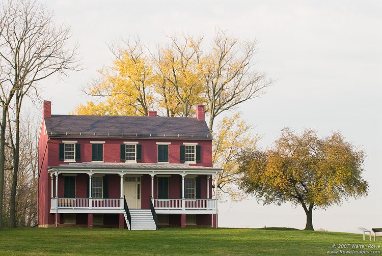
Monocacy National Battlefield
National Battlefield
During the summer of 1864, the Confederacy carried out a bold plan to turn the tide of the Civil War in their favor. They planned to capture Washington, DC and influence the election of 1864. On July...
11 mi from route
~28 min detour
Free
near mile 2.8
View on nps.gov