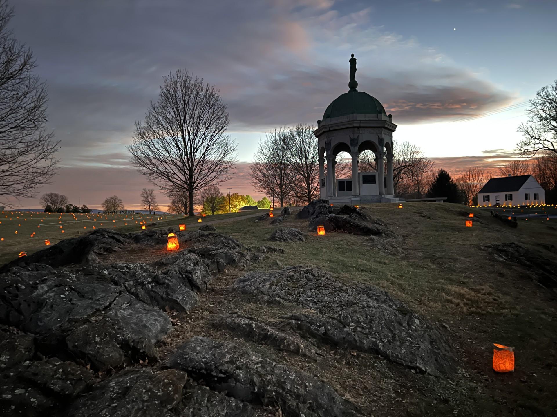
Monocacy National Battlefield
National Battlefield
During the summer of 1864, the Confederacy carried out a bold plan to turn the tide of the Civil War in their favor. They planned to capture Washington, DC and influence the election of 1864. On July...
4 mi from route
~9 min detour
Free
View on nps.gov