Origin
Glendale, AZ
Morning in Glendale on Saturday
Local time
10:40 AM
MST
Current temp
92°F
Unavailable
Live forecast
Compiled and reviewed by the Trip.ovh planning team at COD Solutions Oy · Last reviewed Apr 18, 2026 · Editorial standards
Drive Time
3h 37m
Distance
196.4 mi
316 km
Drive Score
9/10
Great drive
Same Day?
Yes, doable
Fuel Cost
$39
one way
EV Charging
Unknown
Estimated drive times based on typical traffic patterns. Actual times may vary with weather, construction, and real-time conditions.

Glendale, AZ
Wikimedia Commons

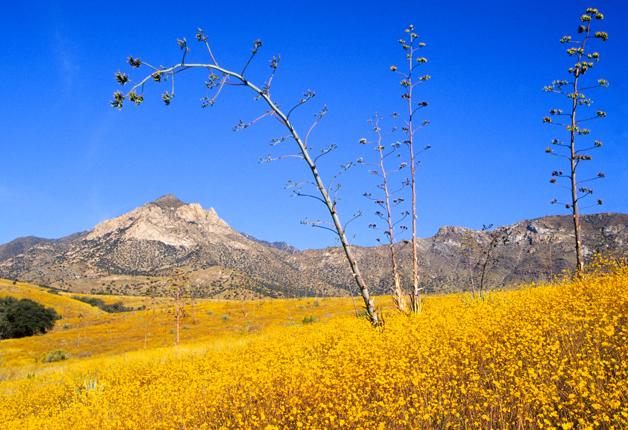
Sierra Vista, AZ
Leslie del Moral
The drive from Glendale, AZ to Sierra Vista, AZ covers 196.4 miles and takes about 3h 37m behind the wheel. This route is realistic as a one-day drive if you keep your stops efficient.
The route leans on Casa Grande-Tucson Highway, Tucson-Benson Highway, Phoenix-Casa Grande Highway for much of the mileage, and the overall profile is mostly surface roads. The longest uninterrupted segment is about 54.6 miles on Casa Grande-Tucson Highway. At current regular gas prices, budget about $39.13 one way before food or hotel costs.
Trip Pace
Same-day drive is realistic
A same-day return is realistic if you keep stops short.
Break Rhythm
1 planned break
A short stop every 2 to 3 hours is enough for this drive.
Midpoint
98.2 miles from Glendale, AZ
A natural place for your longest stop of the day , about 1h 48m into the drive .
| Road | Distance | Duration |
|---|---|---|
| Casa Grande-Tucson Highway | 54.6 mi | 55m |
| Tucson-Benson Highway | 41.4 mi | 43m |
| Phoenix-Casa Grande Highway | 37.8 mi | 38m |
| Maricopa Freeway | 16.3 mi | 18m |
| State Route 90 | 14.9 mi | 17m |
| Huachuca Boulevard | 9.1 mi | 10m |
| North Freeway | 6.1 mi | 6m |
| Grand Avenue | 5.9 mi | 10m |
Step-by-step road directions between Glendale, AZ and Sierra Vista, AZ.
Start on US 60
Continue on US 60
Take the exit onto US 60
Turn left onto US 60
Turn right onto US 60
Take the exit
Merge onto I 17; US 60
Continue on I 17; US 60
Continue on I 10
Continue on I 10
Continue on I 10
Continue on I 10
Take the exit
Turn right onto AZ 90
Continue on AZ 90
Continue on AZ 90
Continue on AZ 90
Continue on AZ 90
Continue on Buffalo Soldier Trail
Continue on Buffalo Solder Trail
Turn straight onto Buffalo Soldier Trail
Turn left onto West Fry Boulevard
Continue on West Fry Boulevard
Turn left
Arrive at destination
Morning Departure
An early start around 7-8 AM gets you there with plenty of daylight left.
Evening Departure
A late afternoon start means arriving after dark. Morning is better.
This is a comfortable same-day trip.
Departure
Before you leave
Start with fuel, water, and navigation already sorted so the first hour feels easy.
First stop
Around 43 miles or 52m in
Use this first pause for coffee, a restroom break, and a quick traffic check ahead.
Halfway reset
Around 98.2 miles or 1h 48m in
This is the best place for your longest stop, a real meal, and a full fuel check.
Final approach
Final hour starts around 2h 54m
Traffic, exits, and arrival timing usually matter more near Sierra Vista, AZ than in the middle of the route.
Open the route before leaving Glendale, AZ so your first major turns are already loaded.
Leave with enough water and a charging cable within reach, not packed away.
Check your fuel range against the first long segment, especially if you are starting outside city service areas.
Day 1
Settle into the route from Glendale, AZ
This is one driving day of about 196.4 miles and 3h 37m.
Rest stops, refuel points, and overnight suggestions along this route.

Mid-route town
Meal stop
98 mi into the route
Best for: Lunch, fuel, and a longer reset
This sits close to the middle of the route, so it works well for the longest stop of the day.
A short stop after about 43 miles helps settle the day before fatigue starts building.
The midpoint is around 98.2 miles from Glendale, AZ, which is a good place for a longer meal and fuel stop.
These stop ideas are pacing suggestions — the exact town or exit can change with traffic, hotel plans, and fuel range.
5 decision points cluster between mile 6.4 and 166.7 — GPS handles the exact turns, but know they're coming. Your lane choice matters more than the turn itself.
Turn left onto US 60 / West Thomas Road
Lane positioning matters here
Turn right onto US 60 / North Black Canyon Highway
Navigation decision point
Take the exit toward I 17 South
Exit ramp - move to the correct lane early
Merge onto I 17; US 60 / Black Canyon Freeway
Merge point - match speed before joining. Lane positioning matters here
Take the exit toward AZ 90 East: Fort Huachuca, Sierra Vista
Exit ramp - move to the correct lane early. Multiple destination signs - pick the right one
Regular Gas
$39.13 one way
$78.25 round trip
| Fuel Type | $/gal | One Way | Round Trip |
|---|---|---|---|
| midgrade | $5.36 | $41.41 | $82.81 |
| premium | $5.59 | $43.23 | $86.46 |
| diesel | $5.61 | $43.36 | $86.73 |
No toll roads detected on this route.
Estimated Trip Cost (one way, 1 person)
Fuel
$39
Meals
$25–$50
Total
$64–$89
Rough estimate based on US averages. Hotel $80–$140/night, meals $25–$50/day.
Estimated CO2 emission: 68.7 kg one way. Prices: EIA weekly data, 2026-04-13.
Driving Electric?
About $21 in charging · 0 stops · 67% less CO2
| Vehicle Type | kWh | Stops | DC Fast | Home Charge |
|---|---|---|---|---|
| Average EV | 58.9 | 0 | $20.62 | $9.43 |
| Efficient EV | 49.1 | 0 | $17.19 | $7.86 |
| EV Truck/SUV | 78.6 | 0 | $27.50 | $12.57 |
Gas CO2
69 kg
EV CO2
23 kg (67% less)
This trip is well within single-charge range for most EVs. No charging stops needed if you start fully charged.
DC fast charging avg $0.35/kWh. Home charging avg $0.16/kWh. US grid CO2: 0.39 kg/kWh.
Current conditions at both ends of the drive.
Origin
Morning in Glendale on Saturday
Local time
10:40 AM
MST
Current temp
92°F
Unavailable
Destination
Morning in Sierra Vista on Saturday
Local time
10:40 AM
MST
Current temp
72°F
Slight Chance Showers And Thunderstorms
Seasonal Notes
Summer travel usually means heavier construction, hotter rest stops, and busier weekend traffic around major cities.
Winter travel shortens daylight, so a route that looks manageable on paper can feel much longer after dark.
Holiday weekends tend to make both departure and arrival windows slower than the raw route time suggests.
Time zone
Origin and destination are on the same clock, so arrival timing is easier to judge at a glance.
Temperature spread
A meaningful temperature swing is a good cue to rethink layers, water, and how soon you want to arrive.
Road read
The weather snapshot is not static. If you are leaving later, give both cities one more quick forecast check before departure.
Weather data from the National Weather Service. Conditions may change; check closer to your travel date.
Worth a detour if your schedule allows.

National Park
Tucson, Arizona is home to the nation's largest cacti. The giant saguaro is the universal symbol of the American west. These majestic plants, found only in a small portion of the United States, are pr...

National Monument
An Ancestral Sonoran Desert People's farming community and "Great House" are preserved at Casa Grande Ruins. Whether a gathering place for people or simply a waypoint marker in an extensive system of...
National Memorial
It was a journey of conquest filled with exploration, wonder - and cruelty. Inspired by tales of vast cities of gold, 339 European soldiers and over a thousand Aztec allies embarked on an epic journey...
Park data from the National Park Service API. Alerts update every 2 hours.
196.4 mi in 3h 37m across surface roads — expect steady turns and local traffic rather than long highway runs.
Expect a hands-on drive with frequent turns and local roads rather than long highway stretches. You will hit about 10 points where you need to pay attention to lane position or signs. The trickiest moment comes around 6.4 miles in near US 60 / West Thomas Road.
Moderate - straightforward overall, but long enough or busy enough to require pacing
Balances navigation complexity with total wheel time.
This drive requires moderate attention. Across 196.4 miles you will encounter 10 spots where lane choice or exit timing matters. Not difficult for experienced highway drivers, but worth previewing the tricky sections before you go.
Where does it get tricky?
The main spots that need attention: at 6.4 miles (US 60 / West Thomas Road): Lane positioning matters here; at 6.6 miles (US 60 / North Black Canyon Highway): Navigation decision point; at 6.9 miles: Exit ramp - move to the correct lane early.
Sierra Vista (Spanish: Mountain View) is a city in Southeast Arizona and the commercial hub of the region, making it a convenient base from which to explore the area. It is perhaps best known for historic Fort Huachuca, established in 1877 during the Apache Wars. Although still an active U.S. Army military base, its two military museums and historic cemetery are open to the general public. The landscape around the city is typical for the Southwestern United States, and the nearby mountains and canyons can be explored on foot, by bike, or on horseback. Because it is a major stopover point on avian migration routes, the area is popular with avid birdwatchers and naturalists, and is known as the "Hummingbird Capital of America".
City content from Wikivoyage (CC BY-SA 4.0) and Wikidata (CC0).
Weekend Trip
Doable as a same-day drive at 3h 37m. Total distance: 196.4 miles.
Family Friendly
Moderate complexity with 1 natural rest stops along the way.
Solo Traveler
3h 37m drive, comfortable solo distance.
First-Time Driver
Mostly highway driving (22%). Some complex stretches to watch for.
Scenic Drive
Mostly surface roads route profile with national parks nearby.
Compiled by the Trip.ovh planning team at COD Solutions Oy from open government datasets — OSRM over OpenStreetMap for geometry, EIA for fuel prices, and NPS for national parks. See our methodology for refresh cadence and limitations.
Was this helpful?
Thanks for your feedback!
Your tip has been submitted. Thanks!
/500
Recent Tips
·
Explore more options from Glendale, AZ or browse trips ending in Sierra Vista, AZ.
Looking for more statewide routes? Browse AZ road trips.