Embark on a substantial 628.1-mile journey from Mount Shasta, CA, to Anaheim, CA, a trip that requires approximately 11 hours and 35 minutes of driving time. This long-distance drive is best split over two recommended days to ensure a comfortable pace. With a projected fuel cost of around $144 and planning for three stops, this route traverses the Pacific Coast region for both its origin and destination. While it's technically drivable in one go, breaking it up will allow you to better enjoy the experience and arrive more refreshed.
Trip Pace
Best split across 2 days
Treat the return leg as its own travel day rather than an afterthought.
Break Rhythm
3 planned breaks
Plan on a short reset every 3 to 4 hours to stay fresh behind the wheel.
Midpoint
314.1 miles from Mount Shasta, CA
A natural place for your longest stop of the day
, about 5h 46m into the drive
.
Drive Character
This route is predominantly a highway drive, with 85% of the mileage on major roadways like Westside Freeway and I 5 Truck. You'll encounter a significant uninterrupted stretch of 424.9 miles on the Westside Freeway, indicating long periods of consistent driving. While the majority is highway, the initial and final segments might offer a change of scenery as you transition into and out of the northern and southern California landscapes. Expect a steady pace for most of the journey.
Most of the miles stay on highways, which makes pacing and fuel planning easier than turn-by-turn city driving.
There are about 24 navigation steps in the underlying route data, so the final approach matters more than the middle miles.
Westside Freeway is the longest continuous segment at about 424.9 miles.
How Hard Is This Drive?
This is a straightforward highway drive that stays mostly on Westside Freeway and Cascade Wonderland Highway. This route has several spots where lane changes, forks, or exits need your full attention. The trickiest moment comes around 1.7 miles in.
Driving Effort8/10
Demanding - plan breaks and stay ahead of the key maneuvers
Balances navigation complexity with total wheel time.
This is a demanding drive. With 20 significant decision points across 628.1 miles, you will need to stay alert - especially through interchange areas and urban stretches. Consider splitting it into segments if you are not comfortable with fast highway navigation.
Where does it get tricky?
The main spots that need attention: at 1.7 miles: Highway fork - watch signs carefully; at 185.1 miles (I 5 / Westside Freeway): Highway fork - watch signs carefully. Lane positioning matters here; at 579.3 miles (I 5 Truck): Highway fork - watch signs carefully. Lane positioning matters here.
Critical Maneuvers
5 of 20 key points
These are the spots where you need to pay the most attention. Preview them before you drive.
6
1.7 mi into trip|~3m in
Keep slight left at fork toward I 5 South
Highway fork - watch signs carefully
Toward I 5 South
6
185.1 mi into trip|~3h 25m in|I 5 / Westside Freeway
Keep slight left at fork onto I 5 / Westside Freeway
Highway fork - watch signs carefully. Lane positioning matters here
Use the straight / slight right lanes.
8
579.3 mi into trip|~10h 35m in|I 5 Truck
Keep slight right at fork onto I 5 Truck toward I 405 South
Highway fork - watch signs carefully. Lane positioning matters here
Use the straight / slight right lanes.
Exit 158
Toward I 405 South
8
604.3 mi into trip|~11h 5m in|I 5 / Golden State Freeway
Keep slight left at fork onto I 5 / Golden State Freeway toward CA 60 East, I 5 South: Pomona, Soto Street, Santa Ana
Highway fork - watch signs carefully. Lane positioning matters here. Multiple destination signs - pick the right one
Use the slight left / straight lanes.
Toward CA 60 East, I 5 South: Pomona, Soto Stre...
7
626.3 mi into trip|~11h 31m in
Take the exit toward Lincoln Avenue
Exit ramp - move to the correct lane early. Lane positioning matters here
Use the straight / slight right lanes.
Exit 111
Toward Lincoln Avenue
Main Roads
Road
Distance
Duration
Westside Freeway
424.9 mi
7h 38m
Cascade Wonderland Highway
90 mi
1h 41m
I 5 Truck
83.3 mi
1h 36m
Santa Ana Freeway
20.7 mi
24m
Golden State Freeway
5.3 mi
6m
South Mount Shasta Boulevard
1.5 mi
2m
West Lincoln Avenue
1.3 mi
3m
I 5 Business
0.2 mi
<1m
Longest stretch:
Westside Freeway
— 424.9 mi, about 7h 38m
Turn-by-Turn Driving Directions
Step-by-step road directions between Mount Shasta, CA and Anaheim, CA.
1
Start on Mill Street
131 ft·11 sec·Mill Street
2
Turn left onto High Street
349 ft·17 sec·High Street
3
Turn right onto I 5 BUS; US 99 Hist
0.2 mi·24 sec·South Mount Shasta Boulevard
4
Keep slight left at fork onto I 5 BUS; US 99 Hist
1.2 mi·2 min·South Mount Shasta Boulevard
5
Take the ramp onto I 5 Business
0.2 mi·24 sec·I 5 Business
6
Keep slight left at fork
0.3 mi·32 sec
Toward I 5 South
7
Merge onto I 5
55 mi·1 hr 2 min·Cascade Wonderland Highway
8
Keep slight left at fork onto I 5
36 mi·38 min·Cascade Wonderland Highway
9
Continue on I 5
93 mi·1 hr 39 min·Westside Freeway
10
Keep slight left at fork onto I 5
16 mi·16 min·Westside Freeway
Use the straight / slight right lanes.
11
Keep slight left at fork onto I 5
79 mi·1 hr 27 min·Westside Freeway
Use the straight / slight right lanes.
12
Keep slight left at fork onto I 5
0.8 mi·48 sec·Westside Freeway
13
Keep slight left at fork onto I 5
237 mi·4 hr 13 min·Westside Freeway
Use the straight / slight right lanes.
14
Keep slight right at fork onto I 5 Truck
58 mi·1 hr 6 min·I 5 Truck
Use the straight / slight right lanes.
15
Keep slight left at fork onto I 5
4.1 mi·4 min·Golden State Freeway
Use the straight / slight right lanes.
16
Keep slight right at fork onto I 5 Truck
0.3 mi·17 sec·I 5 Truck
Exit 158Toward I 405 SouthUse the straight / slight right lanes.
17
Keep slight left at fork onto I 5 Truck
25 mi·29 min·I 5 Truck
Use the straight / slight right lanes.
18
Keep slight left at fork onto I 5
1.3 mi·1 min·Golden State Freeway
Toward CA 60 East, I 5 South: Pomona, Soto Street, Santa AnaUse the slight left / straight lanes.
19
Merge onto I 5
21 mi·24 min·Santa Ana Freeway
Use the straight / slight right lanes.
20
Take the exit
0.5 mi·33 sec
Exit 111Toward Lincoln AvenueUse the straight / slight right lanes.
21
Turn left onto West Lincoln Avenue
1.3 mi·3 min·West Lincoln Avenue
Use the left lane.
22
Turn right onto South Anaheim Boulevard
370 ft·14 sec·South Anaheim Boulevard
23
Turn right
200 ft·14 sec
24
Arrive at destination
Trip Plan
Given the 11-hour and 35-minute duration, splitting this 628.1-mile drive over two days is highly recommended. Aim to depart early in the morning on your first day to maximize daylight and cover a substantial portion of the route. Plan your overnight stop strategically, perhaps around the halfway point, to break up the longest stretch of 424.9 miles. Keep a close eye on your fuel levels, especially during the extended highway segments, and utilize the recommended three stops for rest and refueling.
Morning Departure
Start early — leave by 6-7 AM to arrive at a reasonable hour.
Evening Departure
This is a long drive — plan for a morning departure or consider splitting it into two days.
This drive is better paced as a 2-day trip.
Plan roughly 3 meaningful breaks for fuel, food, and rest.
The halfway point lands around 314.1 miles from Mount Shasta, CA, or about 5h 46m into the drive.
The longest continuous stretch on this route runs about 424.9 miles.
Consider an overnight stop or starting very early.
Departure
Before you leave
Start with fuel, water, and navigation already sorted so the first hour feels easy.
First stop
Around 138 miles or 2h 34m in
Use this first pause for coffee, a restroom break, and a quick traffic check ahead.
Halfway reset
Around 314.1 miles or 5h 46m in
This is the best place for your longest stop, a real meal, and a full fuel check.
Overnight split
Day 1 wrap after about 314.1 miles or 5h 46m
Stop before fatigue turns the last few hours into a grind. You want day two to start fresh, not just resumed.
Final approach
Final hour starts around 10h 22m
Traffic, exits, and arrival timing usually matter more near Anaheim, CA than in the middle of the route.
Before You Leave
+
Open the route before leaving Mount Shasta, CA so your first major turns are already loaded.
+
Leave with enough water and a charging cable within reach, not packed away.
+
Check your fuel range against the first long segment, especially if you are starting outside city service areas.
+
Pick one backup stop option before the midpoint in case traffic changes your pacing.
+
Treat this as a 2-day road trip and book the overnight stop before the busiest arrival window.
Day 1
Settle into the route from Mount Shasta, CA
Aim for roughly 314 miles and 5.8 hours of wheel time on this day.
Day 2
Finish the approach into Anaheim, CA
Aim for roughly 314 miles and 5.8 hours of wheel time on this day.
Your first comfortable stop window is around 138 miles from Mount Shasta, CA.
This route usually feels better as a 2-day drive than as one long push.
Plan about 3 real breaks rather than only quick fuel stops.
The longest stretch is on Westside Freeway for about 424.9 miles.
Where to Stop
Rest stops, refuel points, and overnight suggestions along this route.
Halfway Point
Midpoint
About 314.1 mi from Mount Shasta, CA
· 5h 46m into the drive
The midpoint is around 314.1 miles from Mount Shasta, CA, which is a good place for a longer meal and fuel stop.
Before the longest stretch
Fuel check
Top up before Westside Freeway if your tank is already low. That segment runs about 424.9 miles.
Overnight split
Hotel stop
For a steadier pace, wrap day one after about 314 miles or 5.8 hours on the road.
Arriving in Anaheim, CA
The final approach into Anaheim, CA usually feels slower than the middle of the drive, so avoid planning your tightest schedule at the very end.
Try to arrive with enough fuel left to skip an immediate station stop unless you already know the area around Anaheim, CA.
On a multi-day trip, keep the last day a little lighter so you reach Anaheim, CA with some flexibility left in the schedule.
After long uninterrupted mileage, take five minutes before the last urban segment to reset and refocus on exits, merges, and city traffic.
These stop ideas are pacing suggestions — the exact town or exit can change with traffic, hotel plans, and fuel range.
National Parks Near This Route
Worth a detour if your schedule allows.
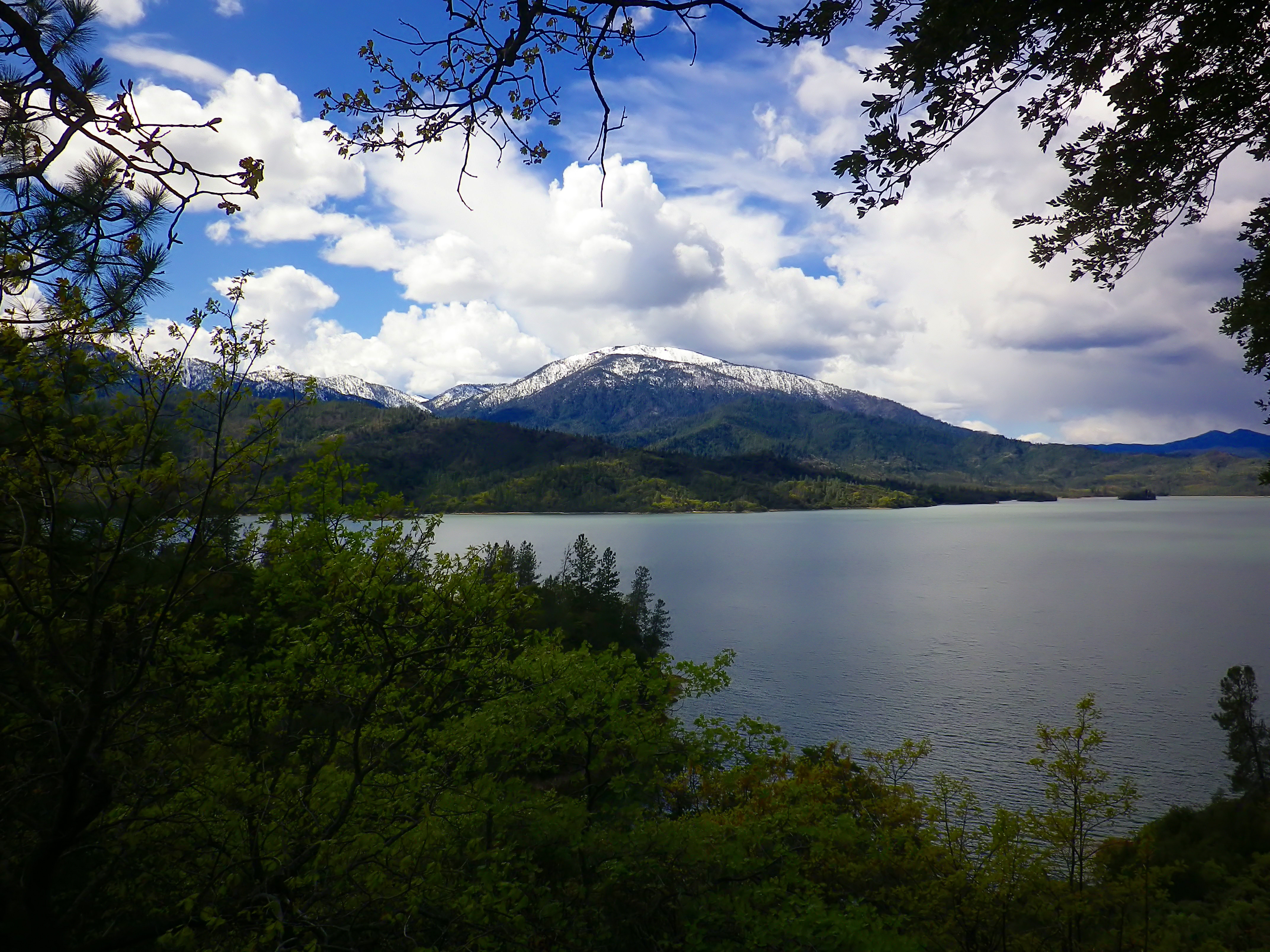
Whiskeytown National Recreation Area
National Recreation Area
Whiskeytown Lake’s crystal-clear waters are iconic, but this 42,000-acre National Recreation Area offers much more. Explore waterfalls, hike rugged trails, uncover Gold Rush history, and witness the r...
The Santa Monica Mountains offer easy access to surprisingly wild places. Experience the famous beaches of Malibu or explore more than 500 miles of trails. The park abounds with historical and cultura...
23 mi from route
~56 min detour
Free
near mile 584.8
Yes, we can! Widely recognized as the most important Latino leader in the United States during the twentieth century, Cesar Chavez led farm workers and supporters in the establishment of the country's...
28 mi from route
~69 min detour
Free
near mile 519.8
Park data from the National Park Service API. Alerts update every 2 hours.
Fuel & Cost
Regular Gas
$144.36 one way
$288.73 round trip
$5.84/gal25.4 MPG avg220 kg CO2
Fuel Type
$/gal
One Way
Round Trip
midgrade
$6.02
$148.77
$297.53
premium
$6.18
$152.75
$305.49
diesel
$5.61
$138.68
$277.35
No toll roads detected on this route.
Estimated Trip Cost (one way, 1 person)
Fuel
$144
Hotel (1n)
$80–$140
Meals
$50–$100
Total
$274–$384
Rough estimate based on US averages. Hotel $80–$140/night, meals $25–$50/day.
Estimated CO2 emission: 219.8 kg one way.
Prices: EIA weekly data, 2026-04-13.
Driving Electric?
About $66 in charging
· 2 stops
· 67% less CO2
Vehicle Type
kWh
Stops
DC Fast
Home Charge
Average EV
188.4
2
$65.95
$30.15
Efficient EV
157
1
$54.96
$25.12
EV Truck/SUV
251.2
3
$87.93
$40.20
Gas CO2
220 kg
EV CO2
73 kg (67% less)
Plan for 2 charging stops, roughly every 270 miles. Allow 25-40 minutes per stop at a DC fast charger.
DC fast charging avg $0.35/kWh. Home charging avg $0.16/kWh. US grid CO2: 0.39 kg/kWh.
Travel Intel
Current conditions at both ends of the drive.
Forecast as of Apr 16, 2026
Origin
Mount Shasta, CA
Morning
in Mount Shasta on Thursday
Local time
9:58 AM
PDT
Current temp
41°F
Unavailable
Live forecast
Destination
Anaheim, CA
Morning
in Anaheim on Thursday
Local time
9:58 AM
PDT
Current temp
74°F
Partly Sunny
SW 0 to 10 mph0% chanceLive forecast
Seasonal Notes
Summer travel usually means heavier construction, hotter rest stops, and busier weekend traffic around major cities.
Winter travel shortens daylight, so a route that looks manageable on paper can feel much longer after dark.
Holiday weekends tend to make both departure and arrival windows slower than the raw route time suggests.
For long drives, weather on day two can matter just as much as conditions at departure, so check the whole travel window rather than only the first day.
Time zone
Same local time
Origin and destination are on the same clock, so arrival timing is easier to judge at a glance.
Temperature spread
33 degrees warmer at arrival
A meaningful temperature swing is a good cue to rethink layers, water, and how soon you want to arrive.
Road read
11h 35m on the road
This is long enough that the arrival forecast matters almost as much as departure conditions. Recheck both ends before you roll.
Weather data from the National Weather Service. Conditions may change; check closer to your travel date.
Frequently Asked Questions
The drive from Mount Shasta, CA to Anaheim, CA covers 628.1 miles and takes about 11h 35m without stops. Add 15-30 minutes for a fuel or rest stop on longer drives.
The main roads are Westside Freeway, Cascade Wonderland Highway, I 5 Truck. Expect a mix of highway and local road driving.
Consider an overnight stop or starting very early.
Yes. This route is usually more comfortable as a 2-day drive. A sensible stopping point is after roughly 314 miles on day one.
The midpoint is about 314.1 miles from Mount Shasta, CA. Look for rest areas, gas stations, or food options near the halfway mark.
At current regular gas prices, expect to spend about $144.36 one way. This estimate uses 25.4 MPG — your actual cost will vary with your vehicle's fuel efficiency and current gas prices.
Start early — leave by 6-7 AM to arrive at a reasonable hour. This is a long drive — plan for a morning departure or consider splitting it into two days.
Plan about 3 meaningful breaks for fuel, food, or rest. Plan on a short reset every 3 to 4 hours to stay fresh behind the wheel.
This is a demanding drive. With 20 significant decision points across 628.1 miles, you will need to stay alert - especially through interchange areas and urban stretches. Consider splitting it into segments if you are not comfortable with fast highway navigation.
The main spots that need attention: at 1.7 miles: Highway fork - watch signs carefully; at 185.1 miles (I 5 / Westside Freeway): Highway fork - watch signs carefully. Lane positioning matters here; at 579.3 miles (I 5 Truck): Highway fork - watch signs carefully. Lane positioning matters here.
The route from Mount Shasta, CA to Anaheim, CA does not surface many named destination signs beyond the main corridor.
Yes. Nearby national parks include Whiskeytown National Recreation Area, Santa Monica Mountains National Recreation Area and César E. Chávez National Monument.