This 219.1-mile drive from Pirtleville, AZ to Chandler, AZ will take you approximately 4 hours and 18 minutes. It's a manageable one-day trip, ideal for a direct transit between these two points in the Desert Southwest. The estimated fuel cost for this journey is around $44. You'll primarily be on roads like the Casa Grande-Tucson Highway and AZ 80, offering a mixed driving experience. With only one recommended stop, you can expect a relatively straightforward transit, making it a practical option for getting from point A to point B without major logistical hurdles.
Trip Pace
Same-day drive is realistic
A same-day return is possible, but it will make for a full day on the road.
Break Rhythm
1 planned break
Plan on a short reset every 3 to 4 hours to stay fresh behind the wheel.
Midpoint
109.5 miles from Pirtleville, AZ
A natural place for your longest stop of the day
, about 2h 16m into the drive
.
Who Is This Route For?
Weekend Trip
Doable as a same-day drive at 4h 18m. Total distance: 219.1 miles.
Family Friendly
Moderate complexity with 1 natural rest stops along the way.
Solo Traveler
4h 18m drive, comfortable solo distance.
Scenic Drive
Mixed drive route profile.
Drive Character
This route presents a mixed drive, with 36% of it on highways. You'll encounter stretches on the Casa Grande-Tucson Highway, including one continuous segment of 54.5 miles. The road character shifts as you progress, moving from potentially more open desert landscapes to areas closer to populated centers. Expect a blend of faster highway travel and potentially more local road sections as you approach your destination. It's not a monotonous journey, but rather one that evolves throughout its 219.1 miles.
Expect a mix of faster highway mileage and slower local approaches near the beginning or end.
There are about 26 navigation steps in the underlying route data, so the final approach matters more than the middle miles.
Casa Grande-Tucson Highway is the longest continuous segment at about 54.5 miles.
How Hard Is This Drive?
This route mixes highway mileage with some local-road sections near the start or finish. You will hit about 13 points where you need to pay attention to lane position or signs. The trickiest moment comes around 47.5 miles in near AZ 90 / State Route 90 Bypass.
Driving Effort6/10
Moderate - straightforward overall, but long enough or busy enough to require pacing
Balances navigation complexity with total wheel time.
This drive requires moderate attention. Across 219.1 miles you will encounter 13 spots where lane choice or exit timing matters. Not difficult for experienced highway drivers, but worth previewing the tricky sections before you go.
Where does it get tricky?
The main spots that need attention: at 47.5 miles (AZ 90 / State Route 90 Bypass): Lane positioning matters here; at 79.4 miles: Multiple destination signs - pick the right one; at 131.2 miles (I 10 / Casa Grande-Tucson Highway): Highway fork - watch signs carefully. Lane positioning matters here.
Critical Maneuvers
5 of 13 key points
These are the spots where you need to pay the most attention. Preview them before you drive.
6
47.5 mi into trip|~1h 4m in|AZ 90 / State Route 90 Bypass
Turn right onto AZ 90 / State Route 90 Bypass
Lane positioning matters here
Use the right lane.
6
79.4 mi into trip|~1h 44m in
Turn left toward I 10, Tuscon, South Tuscon
Multiple destination signs - pick the right one
Toward I 10, Tuscon, South Tuscon
6
131.2 mi into trip|~2h 40m in|I 10 / Casa Grande-Tucson Highway
Keep slight left at fork onto I 10 / Casa Grande-Tucson Highway
Highway fork - watch signs carefully. Lane positioning matters here
Use the straight / slight right lanes.
8
206 mi into trip|~3h 56m in
Take the exit toward AZ 587 North: Chandler, Gilbert
Exit ramp - move to the correct lane early. Lane positioning matters here. Multiple destination signs - pick the right one
Use the straight / right lanes.
Exit 175
Toward AZ 587 North: Chandler, Gilbert
6
206.2 mi into trip|~3h 56m in|AZ 587
Turn left onto AZ 587
Lane positioning matters here
Use the straight / left / right lanes.
Towns Mentioned on Route Signs
Based on OSRM destination-sign hints, not a full list of every settlement the road passes.
Between Pirtleville, AZ and Chandler, AZ, road signs point toward Tuscon and Gilbert.
Tuscon
79.4 mi in|~1h 44m
Gilbert
206 mi in|~3h 56m
Main Roads
Road
Distance
Duration
Casa Grande-Tucson Highway
54.5 mi
55m
Tucson-Benson Highway
41.4 mi
43m
AZ 80
31.5 mi
42m
Phoenix-Casa Grande Highway
24.1 mi
24m
State Route 90
17.1 mi
20m
Whetstone TI-Junction SR 80 Highway
12.7 mi
15m
Huachuca Boulevard
9 mi
10m
South Arizona Avenue
7 mi
12m
Longest stretch:
Casa Grande-Tucson Highway
— 54.5 mi, about 55m
Turn-by-Turn Driving Directions
Step-by-step road directions between Pirtleville, AZ and Chandler, AZ.
1
Start on this road
290 ft·23 sec·this road
2
Turn right onto West Pirtle Avenue
461 ft·22 sec·West Pirtle Avenue
3
Turn right onto North Douglas Avenue
0.5 mi·1 min·North Douglas Avenue
4
Turn right onto AZ 80; US 80 Hist
21 mi·26 min·AZ 80; US 80 Hist
5
Turn right onto US 80 Hist
0.6 mi·1 min·Old Douglas Road
6
Merge onto AZ 80; US 80 Hist
10 mi·15 min·AZ 80; US 80 Hist
7
Turn left onto AZ 90
12 mi·14 min·Whetstone TI-Junction SR 80 Highway
8
Continue on AZ 90
2.1 mi·2 min·State Route 90
9
Continue on AZ 90
1.0 mi·1 min·Whetstone TI-Junction SR 80 Highway
10
Turn right onto AZ 90
4.4 mi·6 min·State Route 90 Bypass
Use the right lane.
11
Continue on AZ 90
3.0 mi·3 min·State Route 90
12
Continue on AZ 90
2.2 mi·3 min·South Huachuca Boulevard
13
Continue on AZ 90
12 mi·13 min·State Route 90
14
Continue on AZ 90
9.0 mi·10 min·Huachuca Boulevard
15
Continue on AZ 90
1.3 mi·2 min·South State Highway 90
16
Turn left
0.6 mi·1 min
Toward I 10, Tuscon, South Tuscon
17
Merge onto I 10
41 mi·43 min·Tucson-Benson Highway
Use the straight / slight right lanes.
18
Continue on I 10
6.0 mi·6 min·South Freeway
Use the straight / slight right lanes.
19
Continue on I 10
3.7 mi·4 min·Casa Grande-Tucson Highway
Use the straight / slight right lanes.
20
Keep slight left at fork onto I 10
51 mi·51 min·Casa Grande-Tucson Highway
Use the straight / slight right lanes.
21
Continue on I 10
24 mi·24 min·Phoenix-Casa Grande Highway
Use the straight / slight right lanes.
22
Take the exit
0.3 mi·53 sec
Exit 175Toward AZ 587 North: Chandler, GilbertUse the straight / right lanes.
23
Turn left onto AZ 587
5.8 mi·8 min·AZ 587
Use the straight / left / right lanes.
24
Continue on AZ 87
7.0 mi·12 min·South Arizona Avenue
Use the left lane.
25
Turn right onto East Chandler Boulevard
47 ft·0 sec·East Chandler Boulevard
Use the right lane.
26
Arrive at destination
East Chandler Boulevard
Trip Plan
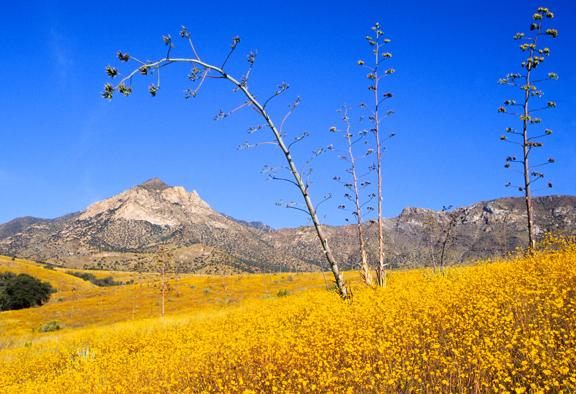
For this 4-hour, 18-minute drive, consider an early morning departure from Pirtleville to make the most of your day. While it's designed as a single-day trip, there's flexibility to add a stop if needed, though only one is officially recommended. Keep an eye on your fuel levels, especially during the 54.5-mile stretch on the Casa Grande-Tucson Highway, as services might be less frequent. The $44 fuel estimate is a good baseline, but it's always wise to have a buffer. Driving this route means you'll be traversing the heart of Arizona's Desert Southwest.
Morning Departure
An early start around 7-8 AM gets you there with plenty of daylight left.
Evening Departure
A late afternoon start means arriving after dark. Morning is better.
You can normally do this drive in one day.
Plan roughly 1 meaningful break for fuel, food, and rest.
The halfway point lands around 109.5 miles from Pirtleville, AZ, or about 2h 16m into the drive.
The longest continuous stretch on this route runs about 54.5 miles.
This is a comfortable same-day trip.
Departure
Before you leave
Start with fuel, water, and navigation already sorted so the first hour feels easy.
First stop
Around 48 miles or 1h 5m in
Use this first pause for coffee, a restroom break, and a quick traffic check ahead.
Halfway reset
Around 109.5 miles or 2h 16m in
This is the best place for your longest stop, a real meal, and a full fuel check.
Final approach
Final hour starts around 3h 29m
Traffic, exits, and arrival timing usually matter more near Chandler, AZ than in the middle of the route.
Before You Leave
+
Open the route before leaving Pirtleville, AZ so your first major turns are already loaded.
+
Leave with enough water and a charging cable within reach, not packed away.
+
Check your fuel range against the first long segment, especially if you are starting outside city service areas.
Day 1
Settle into the route from Pirtleville, AZ
This is one driving day of about 219.1 miles and 4h 18m.
Your first comfortable stop window is around 48 miles from Pirtleville, AZ.
This route can stay practical as a one-day drive if traffic stays reasonable.
Plan about 1 real break rather than only quick fuel stops.
The longest stretch is on Casa Grande-Tucson Highway for about 54.5 miles.
Where to Stop
Rest stops, refuel points, and overnight suggestions along this route.
Halfway Point
Midpoint
About 109.5 mi from Pirtleville, AZ
· 2h 16m into the drive
The midpoint is around 109.5 miles from Pirtleville, AZ, which is a good place for a longer meal and fuel stop.
Arriving in Chandler, AZ
The final approach into Chandler, AZ usually feels slower than the middle of the drive, so avoid planning your tightest schedule at the very end.
Try to arrive with enough fuel left to skip an immediate station stop unless you already know the area around Chandler, AZ.
These stop ideas are pacing suggestions — the exact town or exit can change with traffic, hotel plans, and fuel range.
National Parks Near This Route
Worth a detour if your schedule allows.
Saguaro National Park
National Park
Tucson, Arizona is home to the nation's largest cacti. The giant saguaro is the universal symbol of the American west. These majestic plants, found only in a small portion of the United States, are pr...
9 mi from route
~22 min detour
$25
near mile 113.3
Park Closure: Red Hills Visitor Center (TMD) theater closed for repairs
An Ancestral Sonoran Desert People's farming community and "Great House" are preserved at Casa Grande Ruins. Whether a gathering place for people or simply a waypoint marker in an extensive system of...
11 mi from route
~27 min detour
Free
near mile 188.8
It was a journey of conquest filled with exploration, wonder - and cruelty. Inspired by tales of vast cities of gold, 339 European soldiers and over a thousand Aztec allies embarked on an epic journey...
14 mi from route
~36 min detour
Free
near mile 45.3
Park data from the National Park Service API. Alerts update every 2 hours.
Fuel & Cost
Regular Gas
$43.65 one way
$87.29 round trip
$5.06/gal25.4 MPG avg77 kg CO2
Fuel Type
$/gal
One Way
Round Trip
midgrade
$5.36
$46.19
$92.38
premium
$5.59
$48.23
$96.46
diesel
$5.61
$48.37
$96.75
No toll roads detected on this route.
Estimated Trip Cost (one way, 1 person)
Fuel
$44
Meals
$25–$50
Total
$69–$94
Rough estimate based on US averages. Hotel $80–$140/night, meals $25–$50/day.
Estimated CO2 emission: 76.7 kg one way.
Prices: EIA weekly data, 2026-04-13.
Driving Electric?
About $23 in charging
· 0 stops
· 66% less CO2
Vehicle Type
kWh
Stops
DC Fast
Home Charge
Average EV
65.7
0
$23.01
$10.52
Efficient EV
54.8
0
$19.17
$8.76
EV Truck/SUV
87.6
1
$30.67
$14.02
Gas CO2
77 kg
EV CO2
26 kg (66% less)
Plan for 0 charging stops, roughly every 270 miles. Allow 25-40 minutes per stop at a DC fast charger.
DC fast charging avg $0.35/kWh. Home charging avg $0.16/kWh. US grid CO2: 0.39 kg/kWh.
Travel Intel
Current conditions at both ends of the drive.
Forecast as of Apr 15, 2026
Origin
Pirtleville, AZ
Morning
in Pirtleville on Thursday
Local time
11:57 AM
MST
Current temp
46°F
Unavailable
Live forecast
Destination
Chandler, AZ
Morning
in Chandler on Thursday
Local time
11:57 AM
MST
Current temp
90°F
Unavailable
Live forecast
Seasonal Notes
Summer travel usually means heavier construction, hotter rest stops, and busier weekend traffic around major cities.
Winter travel shortens daylight, so a route that looks manageable on paper can feel much longer after dark.
Holiday weekends tend to make both departure and arrival windows slower than the raw route time suggests.
Time zone
Same local time
Origin and destination are on the same clock, so arrival timing is easier to judge at a glance.
Temperature spread
44 degrees warmer at arrival
A meaningful temperature swing is a good cue to rethink layers, water, and how soon you want to arrive.
Road read
4h 18m on the road
An early start around 7-8 AM gets you there with plenty of daylight left.
Weather data from the National Weather Service. Conditions may change; check closer to your travel date.
Frequently Asked Questions
The drive from Pirtleville, AZ to Chandler, AZ covers 219.1 miles and takes about 4h 18m without stops. Add 15-30 minutes for a fuel or rest stop on longer drives.
The main roads are Casa Grande-Tucson Highway, Tucson-Benson Highway, AZ 80. Expect a mix of highway and local road driving.
This is a comfortable same-day trip.
The midpoint is about 109.5 miles from Pirtleville, AZ. Look for rest areas, gas stations, or food options near the halfway mark.
At current regular gas prices, expect to spend about $43.65 one way. This estimate uses 25.4 MPG — your actual cost will vary with your vehicle's fuel efficiency and current gas prices.
An early start around 7-8 AM gets you there with plenty of daylight left. A late afternoon start means arriving after dark. Morning is better.
Plan about 1 meaningful break for fuel, food, or rest. Plan on a short reset every 3 to 4 hours to stay fresh behind the wheel.
This drive requires moderate attention. Across 219.1 miles you will encounter 13 spots where lane choice or exit timing matters. Not difficult for experienced highway drivers, but worth previewing the tricky sections before you go.
The main spots that need attention: at 47.5 miles (AZ 90 / State Route 90 Bypass): Lane positioning matters here; at 79.4 miles: Multiple destination signs - pick the right one; at 131.2 miles (I 10 / Casa Grande-Tucson Highway): Highway fork - watch signs carefully. Lane positioning matters here.
Between Pirtleville, AZ and Chandler, AZ, road signs point toward Tuscon and Gilbert.