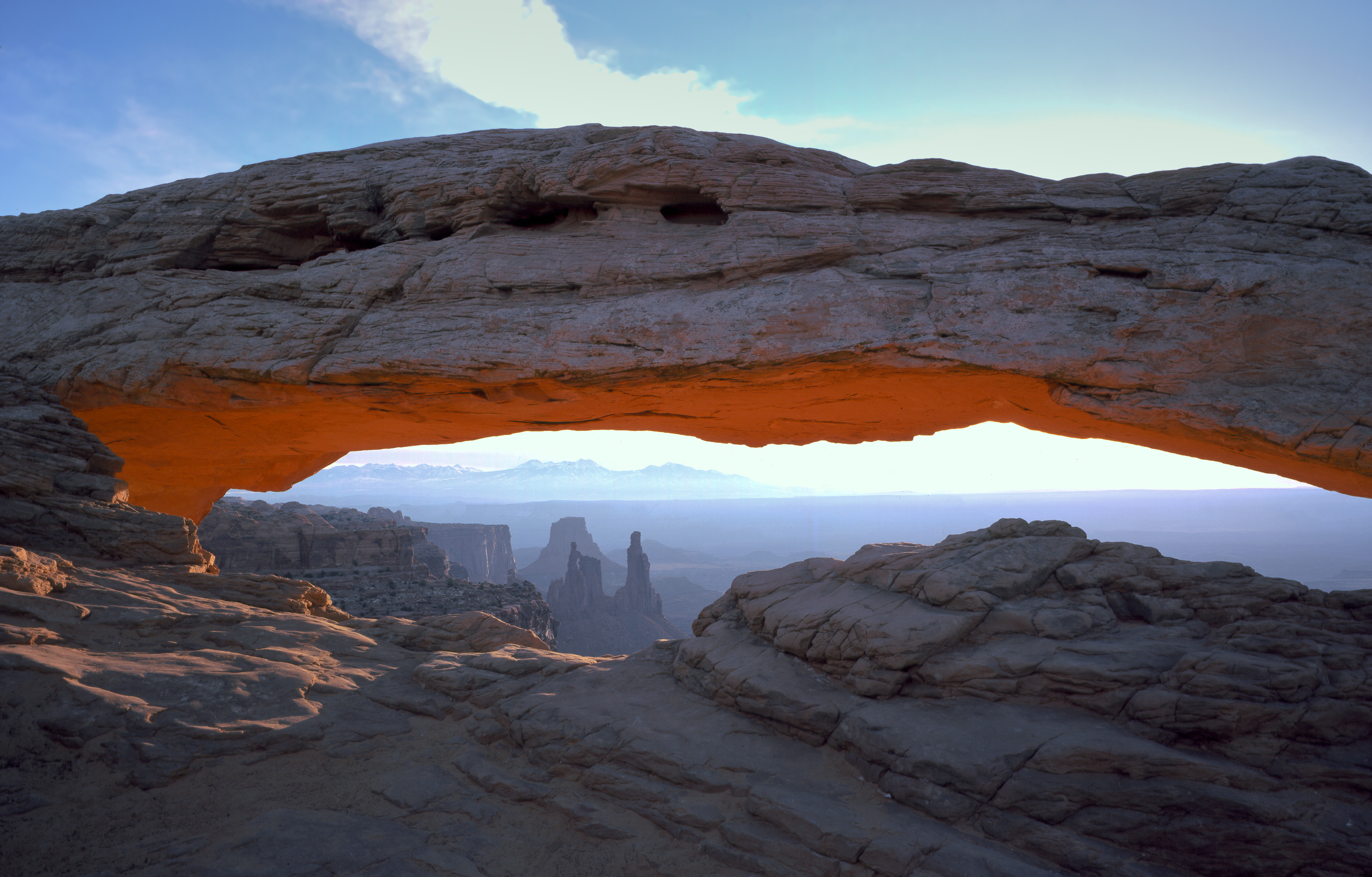
Arches National Park
National Park
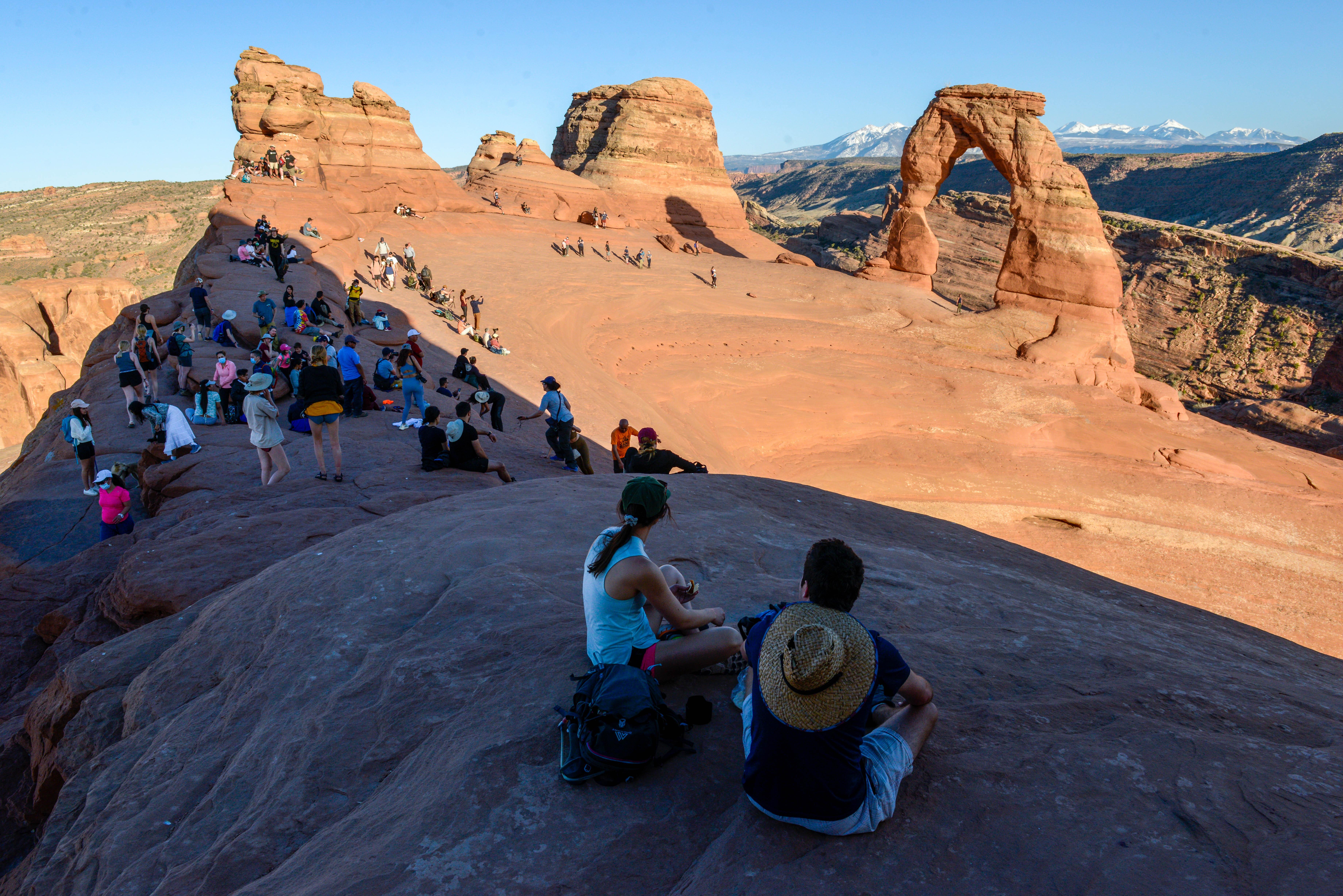
Discover a landscape of contrasting colors, land forms, and textures unlike any other. The park has over 2,000 natural stone arches, hundreds of soaring pinnacles, massive rock fins, and giant balance...
6 mi from route
~16 min detour
$30
near mile 328.4
View on nps.gov