Connecting San Rafael to Sacramento, this 83.7-mile journey is an efficient trip that typically takes about 1 hour and 42 minutes to complete. Because the duration is relatively short, you can easily manage this as a straightforward day trip without needing an overnight stay. You will primarily navigate via the Redwood Highway, CA 37, and the Dwight D. Eisenhower Highway. Budgeting around $19 for fuel should keep you covered for the entire trek. Both your starting point and destination sit within the Pacific Coast region, making for a consistent transition across Northern California. Whether you are heading into the capital for business or a quick change of scenery, this route offers a practical link between the two areas.
Trip Pace
Same-day drive is realistic
A same-day return is realistic if you keep stops short.
Midpoint
41.9 miles from San Rafael, CA
A natural place for your longest stop of the day
, about 52m into the drive
.
Who Is This Route For?
Weekend Trip
Doable as a same-day drive at 1h 42m. Total distance: 83.7 miles.
Family Friendly
Moderate complexity with 0 natural rest stops along the way.
Solo Traveler
1h 42m drive, comfortable solo distance.
First-Time Driver
Mostly highway driving (30%). Some complex stretches to watch for.
Scenic Drive
Mixed drive route profile.
Drive Character
Expect a mixed driving experience as you transition between different road types throughout the 83.7 miles. With about 30% of the journey spent on highways, you will encounter a blend of higher-speed travel and more standard surface roads. The longest uninterrupted portion of your trip spans 44.3 miles along the Dwight D. Eisenhower Highway, which serves as the primary backbone of your transit. The character of the drive shifts as you move off the Redwood Highway and onto the Eisenhower stretch, moving from regional connectors to a more major artery. Overall, the route provides a balanced feel that keeps you moving steadily toward your destination without excessive monotony.
Expect a mix of faster highway mileage and slower local approaches near the beginning or end.
There are about 22 navigation steps in the underlying route data, so the final approach matters more than the middle miles.
Dwight D. Eisenhower Highway is the longest continuous segment at about 44.3 miles.
How Hard Is This Drive?
This route mixes highway mileage with some local-road sections near the start or finish. This route has several spots where lane changes, forks, or exits need your full attention. The trickiest moment comes around 8.3 miles in.
Driving Effort10/10
Demanding - stay alert through the decision-heavy sections
Balances navigation complexity with total wheel time.
This drive requires moderate attention. Across 83.7 miles you will encounter 19 spots where lane choice or exit timing matters. Not difficult for experienced highway drivers, but worth previewing the tricky sections before you go.
Where does it get tricky?
The main spots that need attention: at 8.3 miles: Exit ramp - move to the correct lane early. Lane positioning matters here. Multiple destination signs - pick the right one; at 78.2 miles (US 50; I 80 Business / Capital City Freeway): Highway fork - watch signs carefully. Lane positioning matters here. Multiple destination signs - pick the right one; at 81.5 miles: Exit ramp - move to the correct lane early. Lane positioning matters here. Multiple destination signs - pick the right one.
Critical Maneuvers
5 of 19 key points
These are the spots where you need to pay the most attention. Preview them before you drive.
8
8.3 mi into trip|~11m in
Take the exit toward CA 37 East: Napa, Vallejo
Exit ramp - move to the correct lane early. Lane positioning matters here. Multiple destination signs - pick the right one
Use the straight / slight right lanes.
Exit 460A
Toward CA 37 East: Napa, Vallejo
9
78.2 mi into trip|~1h 34m in|US 50; I 80 Business / Capital City Freeway
Keep slight left at fork onto US 50; I 80 Business / Capital City Freeway toward Sacramento, South Lake Tahoe
Highway fork - watch signs carefully. Lane positioning matters here. Multiple destination signs - pick the right one
Use the straight / slight right lanes.
Exit 82
Toward Sacramento, South Lake Tahoe
8
81.5 mi into trip|~1h 38m in
Take the exit toward I 5 North, I 5 South: Redding, Los Angeles
Exit ramp - move to the correct lane early. Lane positioning matters here. Multiple destination signs - pick the right one
Use the straight / slight right lanes.
Exit 4A
Toward I 5 North, I 5 South: Redding, Los Angel...
9
81.7 mi into trip|~1h 38m in
Keep slight left at fork toward I 5 North: Redding
Highway fork - watch signs carefully. Lane positioning matters here
Use the slight left lane.
Exit 4A
Toward I 5 North: Redding
8
82.8 mi into trip|~1h 39m in
Take the exit toward J Street, Downtown
Exit ramp - move to the correct lane early. Lane positioning matters here. Multiple destination signs - pick the right one
Use the straight / slight right lanes.
Exit 519B
Toward J Street, Downtown
Towns Mentioned on Route Signs
Based on OSRM destination-sign hints, not a full list of every settlement the road passes.
Between San Rafael, CA and Sacramento, CA, road signs point toward Vallejo and Lake Tahoe.
Vallejo
8.3 mi in|~11m
Lake Tahoe
78.2 mi in|~1h 34m|via US 50; I 80 Business
Main Roads
Road
Distance
Duration
Dwight D. Eisenhower Highway
44.3 mi
51m
CA 37
20.8 mi
25m
Redwood Highway
7.4 mi
8m
Yolo Causeway
3.7 mi
4m
Capital City Freeway
3.3 mi
3m
Westside Freeway
0.6 mi
<1m
Fourth Street
0.6 mi
1m
H Street
0.3 mi
<1m
Longest stretch:
Dwight D. Eisenhower Highway
— 44.3 mi, about 51m
Turn-by-Turn Driving Directions
Step-by-step road directions between San Rafael, CA and Sacramento, CA.
1
Start on Fourth Street
0.6 mi·1 min·Fourth Street
Use the straight / right lanes.
2
Turn left onto Irwin Street
0.1 mi·16 sec·Irwin Street
Use the left lane.
3
Take the ramp
0.2 mi·31 sec
Toward US 101 North: Eureka
4
Merge onto US 101
7.4 mi·8 min·Redwood Highway
Use the straight / slight right lanes.
5
Take the exit
0.4 mi·29 sec
Exit 460AToward CA 37 East: Napa, VallejoUse the straight / slight right lanes.
6
Continue on CA 37
21 mi·25 min·CA 37
Use the straight / slight right lanes.
7
Take the exit
0.7 mi·1 min
Toward I 80
8
Merge onto I 80
8.6 mi·9 min·Dwight D. Eisenhower Highway
Use the straight / slight right lanes.
9
Keep slight left at fork onto I 80
27 mi·31 min·Dwight D. Eisenhower Highway
Use the straight / slight right lanes.
10
Keep slight left at fork onto I 80
8.4 mi·9 min·Dwight D. Eisenhower Highway
Use the straight / slight right lanes.
11
Continue on I 80
3.7 mi·4 min·Yolo Causeway
Use the straight / slight right lanes.
12
Keep slight left at fork onto US 50; I 80 Business
3.3 mi·3 min·Capital City Freeway
Exit 82Toward Sacramento, South Lake TahoeUse the straight / slight right lanes.
13
Take the exit
0.2 mi·13 sec
Exit 4AToward I 5 North, I 5 South: Redding, Los AngelesUse the straight / slight right lanes.
14
Keep slight left at fork
0.2 mi·29 sec
Exit 4AToward I 5 North: ReddingUse the slight left lane.
15
Keep slight left at fork
0.2 mi·14 sec
Exit 4AToward I 5 North: Redding
16
Merge onto I 5
0.6 mi·44 sec·Westside Freeway
17
Take the exit
0.2 mi·34 sec
Exit 519BToward J Street, DowntownUse the straight / slight right lanes.
18
Turn right onto J Street
0.2 mi·25 sec·J Street
19
Turn left onto 5th Street
0.2 mi·19 sec·5th Street
Use the straight lane.
20
Turn right onto H Street
0.3 mi·40 sec·H Street
21
Turn right onto 9th Street
490 ft·15 sec·9th Street
Use the straight / right lanes.
22
Arrive at destination
9th Street
Trip Plan
Since this is a quick 1-hour and 42-minute drive, you have plenty of flexibility in your departure time to avoid the worst of regional traffic. You won't need to worry about planning specific stops for a trip of this length, as it is easily manageable in one go. Keep your $19 fuel budget in mind before you head out to ensure a stress-free departure from San Rafael. Because the longest stretch is 44.3 miles on the Dwight D. Eisenhower Highway, try to time your drive to avoid peak commuter hours on that specific thoroughfare. Taking advantage of the short travel time allows you to maximize your day in Sacramento once you arrive.
Morning Departure
Leave by 9 AM and you'll arrive before lunch.
Evening Departure
Even a 4 PM departure gets you there before dark in summer.
You can normally do this drive in one day.
You may only need one short stretch break if traffic stays light.
The halfway point lands around 41.9 miles from San Rafael, CA, or about 52m into the drive.
The longest continuous stretch on this route runs about 44.3 miles.
This is a comfortable same-day trip.
Departure
Before you leave
Start with fuel, water, and navigation already sorted so the first hour feels easy.
First stop
Around 18 miles or 23m in
Use this first pause for coffee, a restroom break, and a quick traffic check ahead.
Halfway reset
Around 41.9 miles or 52m in
This is the best place for your longest stop, a real meal, and a full fuel check.
Final approach
Final hour starts around 1h 26m
Traffic, exits, and arrival timing usually matter more near Sacramento, CA than in the middle of the route.
Before You Leave
+
Open the route before leaving San Rafael, CA so your first major turns are already loaded.
Day 1
Settle into the route from San Rafael, CA
This is one driving day of about 83.7 miles and 1h 42m.
Your first comfortable stop window is around 18 miles from San Rafael, CA.
This route can stay practical as a one-day drive if traffic stays reasonable.
The longest stretch is on Dwight D. Eisenhower Highway for about 44.3 miles.
Where to Stop
Rest stops, refuel points, and overnight suggestions along this route.
Halfway Point
Midpoint
About 41.9 mi from San Rafael, CA
· 52m into the drive
Place data sourced from public business listings. Hours and availability may vary.
National Parks Near This Route
Worth a detour if your schedule allows.
Muir Woods National Monument
National Monument
Walk among old growth coast redwoods, cooling their roots in the fresh water of Redwood Creek and lifting their crowns to reach the sun and fog. Federally protected as a National Monument since 1908,...
6 mi from route
~15 min detour
$15
Caution: Auto-Theft Warning - Only Bring What You Need to the Park
Experience a park so rich it supports 19 distinct ecosystems with over 2,000 plant and animal species. Go for a hike, enjoy a vista, have a picnic or learn about the centuries of overlapping history f...
Rosie the Riveter WWII Home Front National Historical Park
National Historical Park
Celebrate and honor the contributions and sacrifices of American civilians on the WWII home front. Discover how diverse communities lived, worked, and interacted. Many faces, many stories, many truths...
On July 17, 1944, a massive explosion jolted the San Francisco East Bay area, shattering windows and lighting up the night sky. At Port Chicago Naval Magazine, 320 men were killed instantly when two s...
12 mi from route
~30 min detour
Free
near mile 34.6
Established in 1988, San Francisco Maritime National Historical Park celebrates America’s maritime heritage on the Pacific Coast. Our 50-acre park has grown around Aquatic Park Cove, a protected area...
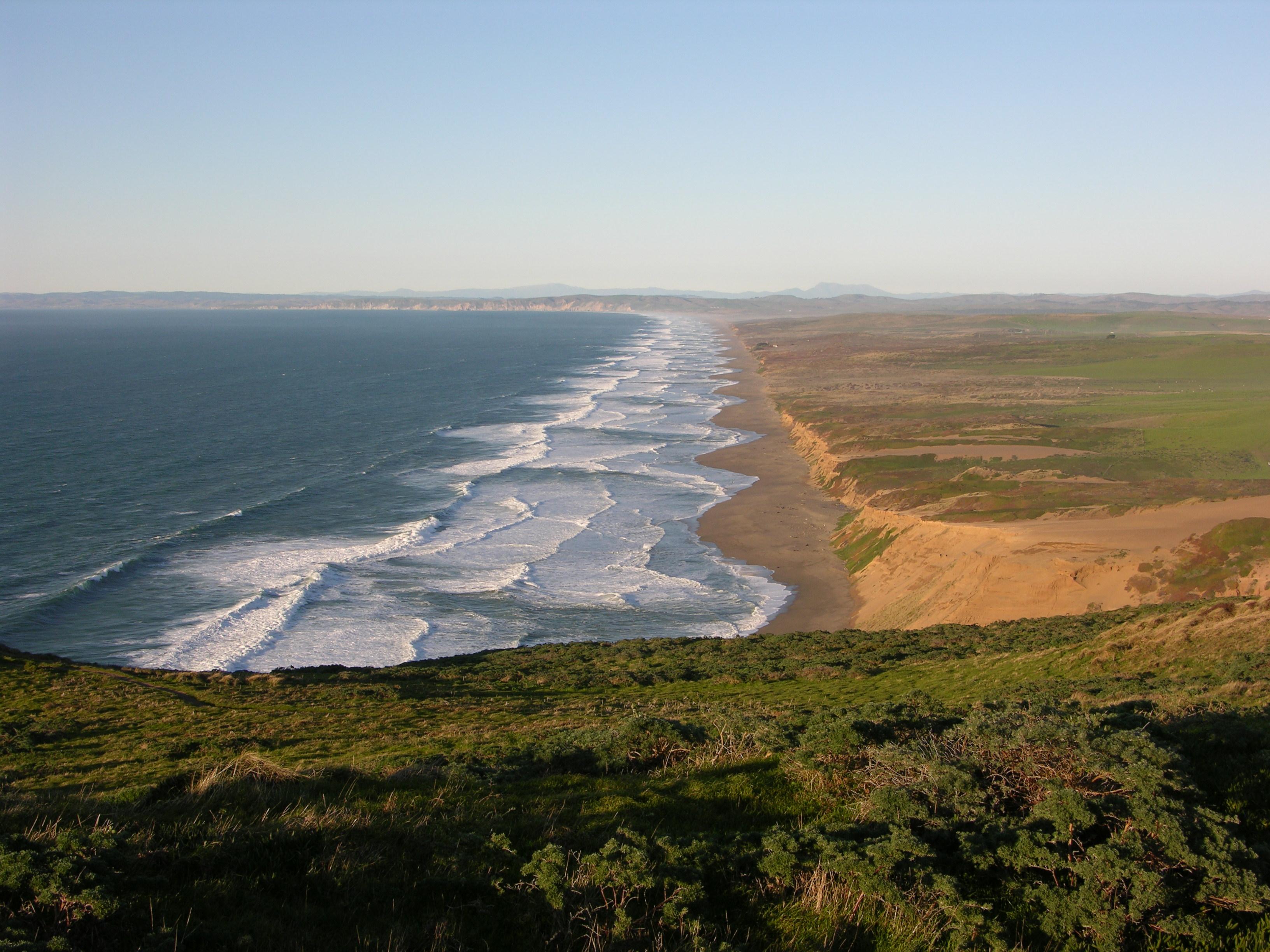
From its thunderous ocean breakers crashing against rocky headlands and expansive sand beaches to its open grasslands, brushy hillsides, and forested ridges, Point Reyes offers visitors over 1500 spec...
18 mi from route
~46 min detour
Free
near mile 8.7
Park data from the National Park Service API. Alerts update every 2 hours.
Fuel & Cost
Regular Gas
$19.24 one way
$38.48 round trip
$5.84/gal25.4 MPG avg29 kg CO2
Fuel Type
$/gal
One Way
Round Trip
midgrade
$6.02
$19.82
$39.65
premium
$6.18
$20.35
$40.71
diesel
$5.61
$18.48
$36.96
No toll roads detected on this route.
Estimated Trip Cost (one way, 1 person)
Fuel
$19
Meals
$25–$50
Total
$44–$69
Rough estimate based on US averages. Hotel $80–$140/night, meals $25–$50/day.
Estimated CO2 emission: 29.3 kg one way.
Prices: EIA weekly data, 2026-04-13.
Driving Electric?
About $9 in charging
· 0 stops
· 66% less CO2
Vehicle Type
kWh
Stops
DC Fast
Home Charge
Average EV
25.1
0
$8.79
$4.02
Efficient EV
20.9
0
$7.32
$3.35
EV Truck/SUV
33.5
0
$11.72
$5.36
Gas CO2
29 kg
EV CO2
10 kg (66% less)
This trip is well within single-charge range for most EVs. No charging stops needed if you start fully charged.
DC fast charging avg $0.35/kWh. Home charging avg $0.16/kWh. US grid CO2: 0.39 kg/kWh.
Travel Intel
Current conditions at both ends of the drive.
Forecast as of Apr 15, 2026
Origin
San Rafael, CA
Morning
in San Rafael on Friday
Local time
9:56 AM
PDT
Current temp
59°F
Unavailable
Live forecast
Destination
Sacramento, CA
Morning
in Sacramento on Friday
Local time
9:56 AM
PDT
Current temp
68°F
Unavailable
Live forecast
Seasonal Notes
Summer travel usually means heavier construction, hotter rest stops, and busier weekend traffic around major cities.
Winter travel shortens daylight, so a route that looks manageable on paper can feel much longer after dark.
Holiday weekends tend to make both departure and arrival windows slower than the raw route time suggests.
Time zone
Same local time
Origin and destination are on the same clock, so arrival timing is easier to judge at a glance.
Temperature spread
9 degrees warmer at arrival
A meaningful temperature swing is a good cue to rethink layers, water, and how soon you want to arrive.
Road read
1h 42m on the road
Use the two city cards together: check the sky where you start, then compare it with the local time and temperature at arrival.
Weather data from the National Weather Service. Conditions may change; check closer to your travel date.
Frequently Asked Questions
The drive from San Rafael, CA to Sacramento, CA covers 83.7 miles and takes about 1h 42m without stops. Add 15-30 minutes for a fuel or rest stop on longer drives.
The main roads are Dwight D. Eisenhower Highway, CA 37, Redwood Highway. Expect a mix of highway and local road driving.
This is a comfortable same-day trip.
The midpoint is about 41.9 miles from San Rafael, CA. Look for rest areas, gas stations, or food options near the halfway mark.
At current regular gas prices, expect to spend about $19.24 one way. This estimate uses 25.4 MPG — your actual cost will vary with your vehicle's fuel efficiency and current gas prices.
Leave by 9 AM and you'll arrive before lunch. Even a 4 PM departure gets you there before dark in summer.
This drive requires moderate attention. Across 83.7 miles you will encounter 19 spots where lane choice or exit timing matters. Not difficult for experienced highway drivers, but worth previewing the tricky sections before you go.
The main spots that need attention: at 8.3 miles: Exit ramp - move to the correct lane early. Lane positioning matters here. Multiple destination signs - pick the right one; at 78.2 miles (US 50; I 80 Business / Capital City Freeway): Highway fork - watch signs carefully. Lane positioning matters here. Multiple destination signs - pick the right one; at 81.5 miles: Exit ramp - move to the correct lane early. Lane positioning matters here. Multiple destination signs - pick the right one.
Between San Rafael, CA and Sacramento, CA, road signs point toward Vallejo and Lake Tahoe.
Yes. Nearby national parks include Muir Woods National Monument, Golden Gate National Recreation Area and Rosie the Riveter WWII Home Front National Historical Park. There are 6 parks within detour distance of this route.