Origin
Blowing Rock, NC
Afternoon in Blowing Rock on Saturday
Local time
1:41 PM
EDT
Current temp
54°F
Unavailable
Live forecast
Compiled and reviewed by the Trip.ovh planning team at COD Solutions Oy · Last reviewed Apr 18, 2026 · Editorial standards
Drive Time
6h 8m
Distance
291 mi
468 km
Drive Score
8/10
Great drive
Same Day?
Yes, doable
Fuel Cost
$46
one way
EV Charging
Unknown
Estimated drive times based on typical traffic patterns. Actual times may vary with weather, construction, and real-time conditions.

Blowing Rock, NC
Wikimedia Commons
The drive from Blowing Rock, NC to Wilmington, NC covers 291 miles and takes about 6h 8m behind the wheel. This route is realistic as a one-day drive if you keep your stops efficient.
The route leans on Andrew Jackson Highway, Hickory Boulevard Southeast, American Indian Highway for much of the mileage, and the overall profile is mostly surface roads. The longest uninterrupted segment is about 91 miles on Andrew Jackson Highway. At current regular gas prices, budget about $45.51 one way before food or hotel costs.
Trip Pace
Same-day drive is realistic
A same-day return is possible, but it will make for a full day on the road.
Break Rhythm
1 planned break
Plan on a short reset every 3 to 4 hours to stay fresh behind the wheel.
Midpoint
145.5 miles from Blowing Rock, NC
A natural place for your longest stop of the day , about 3h 16m into the drive .
| Road | Distance | Duration |
|---|---|---|
| Andrew Jackson Highway | 91 mi | 1h 50m |
| Hickory Boulevard Southeast | 49.8 mi | 1h 3m |
| American Indian Highway | 33.6 mi | 36m |
| Monroe Expressway | 18.7 mi | 21m |
| Blowing Rock Boulevard | 18.5 mi | 28m |
| G R Kindley Freeway | 14.9 mi | 16m |
| W. Cliff Martin Highway | 12.8 mi | 17m |
| Senator Marshall Arthur Rauch Highway | 10.2 mi | 12m |
Step-by-step road directions between Blowing Rock, NC and Wilmington, NC.
Start on US 221; US 321 Business
Turn right onto West Cornish Road
Turn right onto US 321
Continue on US 321
Continue on US 321
Continue on US 321
Continue on US 321
Take the exit
Merge onto I 85
Continue on I 85
Take the exit
Keep slight right at fork
Merge onto NC 16
Continue on NC 16
Take the exit
Merge onto US 74; NC 27
Keep slight right at fork onto US 74
Continue on US 74
Continue on US 74
Continue on US 74
Keep slight left at fork onto US 74 BYP
Merge onto US 74
Continue on US 74
Continue on US 74
Continue on US 74
Keep slight right at fork onto US 74
Continue on US 52; US 74; NC 742
Continue on US 52; US 74; NC 742
Continue on US 74
Keep slight left at fork onto US 74
Continue on US 74
Continue on US 74
Keep slight right at fork onto US 74
Continue on US 74
Continue on US 74; NC 130
Continue on US 17; US 74; US 76
Continue on US 17; US 76; US 421
Turn left onto US 421; US 17 Business
Arrive at destination
Morning Departure
Start early — leave by 6-7 AM to arrive at a reasonable hour.
Evening Departure
This is a long drive — plan for a morning departure or consider splitting it into two days.
This is a comfortable same-day trip.
Departure
Before you leave
Start with fuel, water, and navigation already sorted so the first hour feels easy.
First stop
Around 64 miles or 1h 28m in
Use this first pause for coffee, a restroom break, and a quick traffic check ahead.
Halfway reset
Around 145.5 miles or 3h 16m in
This is the best place for your longest stop, a real meal, and a full fuel check.
Final approach
Final hour starts around 5h 4m
Traffic, exits, and arrival timing usually matter more near Wilmington, NC than in the middle of the route.
Open the route before leaving Blowing Rock, NC so your first major turns are already loaded.
Leave with enough water and a charging cable within reach, not packed away.
Check your fuel range against the first long segment, especially if you are starting outside city service areas.
Day 1
Settle into the route from Blowing Rock, NC
This is one driving day of about 291 miles and 6h 8m.
Rest stops, refuel points, and overnight suggestions along this route.

Mid-route town
Meal stop
146 mi into the route
Best for: Lunch, fuel, and a longer reset
This sits close to the middle of the route, so it works well for the longest stop of the day.
A short stop after about 64 miles helps settle the day before fatigue starts building.
The midpoint is around 145.5 miles from Blowing Rock, NC, which is a good place for a longer meal and fuel stop.
Before the longest stretch
Fuel checkTop up before Andrew Jackson Highway if your tank is already low. That segment runs about 91 miles.
These stop ideas are pacing suggestions — the exact town or exit can change with traffic, hotel plans, and fuel range.
5 decision points cluster between mile 90.1 and 183.3 — GPS handles the exact turns, but know they're coming. Your lane choice matters more than the turn itself.
Take the exit toward NC 16: Brookshire Boulevard, Downtown Charlotte
Exit ramp - move to the correct lane early. Lane positioning matters here. Multiple destination signs - pick the right one
Keep slight right at fork toward NC 16 South: Downtown Charlotte, Brookshire Boulevard, Charlotte, Bank of America Stadium
Highway fork - watch signs carefully. Lane positioning matters here. Multiple destination signs - pick the right one
Take the exit toward US 74 East, NC 27 East: Independence Boulevard
Exit ramp - move to the correct lane early. Lane positioning matters here. Multiple destination signs - pick the right one
Keep slight left at fork onto US 74 BYP / Monroe Expressway toward US 74 Toll Bypass East: Rockingham, Wilmington
Highway fork - watch signs carefully. Lane positioning matters here. Multiple destination signs - pick the right one
Keep slight right at fork onto US 74 / Andrew Jackson Highway
Highway fork - watch signs carefully. Lane positioning matters here
Regular Gas
$45.51 one way
$91.01 round trip
| Fuel Type | $/gal | One Way | Round Trip |
|---|---|---|---|
| midgrade | $4.34 | $49.76 | $99.51 |
| premium | $4.70 | $53.86 | $107.72 |
| diesel | $5.61 | $64.25 | $128.50 |
Estimated Tolls: $0.05
Toll estimates based on average 2024-2025 rates. EZ-Pass/SunPass discounts may lower the actual cost.
Estimated Trip Cost (one way, 1 person)
Fuel
$46
Tolls
$0
Meals
$25–$50
Total
$71–$96
Rough estimate based on US averages. Hotel $80–$140/night, meals $25–$50/day.
Estimated CO2 emission: 101.8 kg one way. Prices: EIA weekly data, 2026-04-13.
Driving Electric?
About $31 in charging · 1 stop · 67% less CO2
| Vehicle Type | kWh | Stops | DC Fast | Home Charge |
|---|---|---|---|---|
| Average EV | 87.3 | 1 | $30.55 | $13.97 |
| Efficient EV | 72.8 | 0 | $25.46 | $11.64 |
| EV Truck/SUV | 116.4 | 1 | $40.74 | $18.62 |
Gas CO2
102 kg
EV CO2
34 kg (67% less)
Plan for 1 charging stop. A 30-minute DC fast charge mid-route should be enough to complete the trip comfortably.
DC fast charging avg $0.35/kWh. Home charging avg $0.16/kWh. US grid CO2: 0.39 kg/kWh.
Current conditions at both ends of the drive.
Origin
Afternoon in Blowing Rock on Saturday
Local time
1:41 PM
EDT
Current temp
54°F
Unavailable
Destination
Afternoon in Wilmington on Saturday
Local time
1:41 PM
EDT
Current temp
52°F
Unavailable
Seasonal Notes
Summer travel usually means heavier construction, hotter rest stops, and busier weekend traffic around major cities.
Winter travel shortens daylight, so a route that looks manageable on paper can feel much longer after dark.
Holiday weekends tend to make both departure and arrival windows slower than the raw route time suggests.
Time zone
Origin and destination are on the same clock, so arrival timing is easier to judge at a glance.
Temperature spread
A meaningful temperature swing is a good cue to rethink layers, water, and how soon you want to arrive.
Road read
Start early — leave by 6-7 AM to arrive at a reasonable hour.
Weather data from the National Weather Service. Conditions may change; check closer to your travel date.
Worth a detour if your schedule allows.
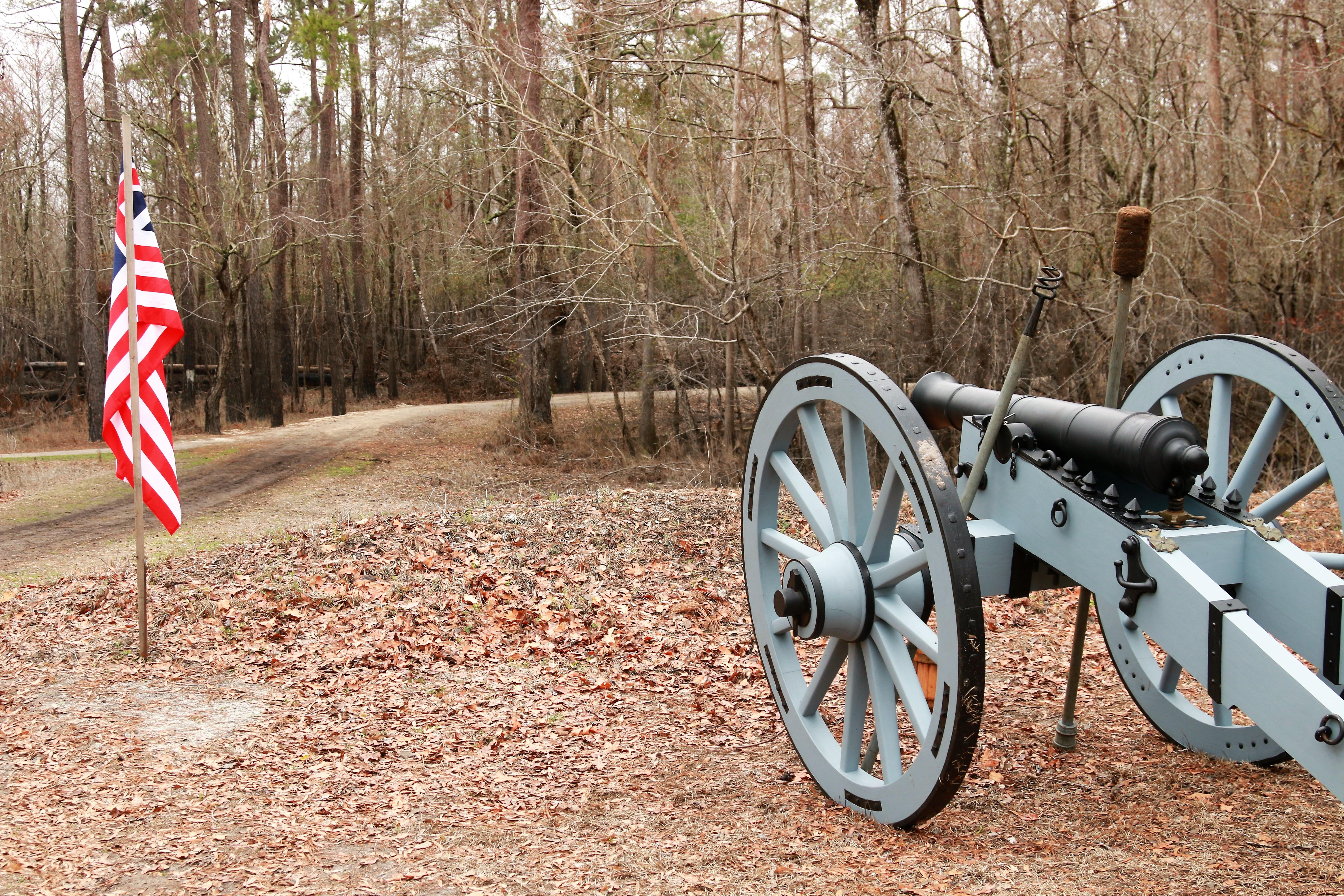
National Battlefield
In the early morning hours of February 27, 1776, Loyalist forces charged across a partially dismantled Moores Creek Bridge. Beyond the bridge, nearly 1,000 North Carolina Patriots waited quietly with...
Park data from the National Park Service API. Alerts update every 2 hours.
291 mi in 6h 8m across surface roads — expect steady turns and local traffic rather than long highway runs.
Expect a hands-on drive with frequent turns and local roads rather than long highway stretches. This route has several spots where lane changes, forks, or exits need your full attention. The trickiest moment comes around 90.1 miles in.
High effort - long or complex enough to need steady focus all day
Balances navigation complexity with total wheel time.
This is a demanding drive. With 16 significant decision points across 291 miles, you will need to stay alert - especially through interchange areas and urban stretches. Consider splitting it into segments if you are not comfortable with fast highway navigation.
Where does it get tricky?
The main spots that need attention: at 90.1 miles: Exit ramp - move to the correct lane early. Lane positioning matters here. Multiple destination signs - pick the right one; at 90.3 miles: Highway fork - watch signs carefully. Lane positioning matters here. Multiple destination signs - pick the right one; at 94.3 miles: Exit ramp - move to the correct lane early. Lane positioning matters here. Multiple destination signs - pick the right one.
Based on OSRM destination-sign hints, not a full list of every settlement the road passes.
Between Blowing Rock, NC and Wilmington, NC, road signs point toward Charlotte and Bank Of America Stadium.
Charlotte
Bank Of America Stadium
Wilmington is a city in the southeastern part of North Carolina. It is the county seat of New Hanover County, and home to the University of North Carolina at Wilmington, the U.S.S. North Carolina Battleship Memorial, the Cape Fear Museum, Airlie Gardens, and a large historic district. It is convenient to nearby beaches, and is a relatively short drive from the Triangle (Raleigh, Durham, and Chapel Hill), Charlotte, Myrtle Beach, SC, and the I-95 corridor.
City content from Wikivoyage (CC BY-SA 4.0) and Wikidata (CC0).
Weekend Trip
Doable as a same-day drive at 6h 8m. Total distance: 291 miles.
Family Friendly
Moderate complexity with 1 natural rest stops along the way.
Solo Traveler
6h 8m drive, plan rest stops for pacing.
Scenic Drive
Mostly surface roads route profile with national parks nearby.
Compiled by the Trip.ovh planning team at COD Solutions Oy from open government datasets — OSRM over OpenStreetMap for geometry, EIA for fuel prices, and NPS for national parks. See our methodology for refresh cadence and limitations.
Was this helpful?
Thanks for your feedback!
Your tip has been submitted. Thanks!
/500
Recent Tips
·
Explore more options from Blowing Rock, NC or browse trips ending in Wilmington, NC.
Looking for more statewide routes? Browse NC road trips.