This 236.8-mile drive from Sebastian to San Antonio, Texas, is easily manageable as a single-day trip, taking approximately 4 hours and 31 minutes. You'll primarily be on US 281 and U.S. Highway 77, with a brief stint on Nueces Street, making it an 84% highway-focused journey. With a fuel cost estimated at $36, this route is quite budget-friendly for a day trip. The drive moves you from the Great Plains region of Texas to another part of the same region, offering a consistent landscape. Given its manageable length, you can start later in the day or take your time with a single planned stop.
Trip Pace
Same-day drive is realistic
A same-day return is possible, but it will make for a full day on the road.
Break Rhythm
1 planned break
Plan on a short reset every 3 to 4 hours to stay fresh behind the wheel.
Midpoint
118.4 miles from Sebastian, TX
A natural place for your longest stop of the day
, about 2h 19m into the drive
.
Who Is This Route For?
Weekend Trip
Doable as a same-day drive at 4h 31m. Total distance: 236.8 miles.
Family Friendly
Moderate complexity with 1 natural rest stops along the way.
Solo Traveler
4h 31m drive, comfortable solo distance.
First-Time Driver
Mostly highway driving (84%). Some complex stretches to watch for.
Drive Character
Expect a predominantly highway-focused experience on this route, with 84% of your travel occurring on faster roads. The longest uninterrupted stretch you'll encounter is 123.2 miles on US 281, so be prepared for extended periods of consistent driving. While primarily highway, the inclusion of U.S. Highway 77 and Nueces Street suggests a potential for more local traffic or slightly slower speeds as you approach your destination. The overall feel is one of efficient travel across the Texas landscape.
Most of the miles stay on highways, which makes pacing and fuel planning easier than turn-by-turn city driving.
There are about 21 navigation steps in the underlying route data, so the final approach matters more than the middle miles.
US 281 is the longest continuous segment at about 123.2 miles.
How Hard Is This Drive?
This is a straightforward highway drive that stays mostly on US 281 and U.S. Highway 77. This route has several spots where lane changes, forks, or exits need your full attention. The trickiest moment comes early in the drive near Spur 413; FM 2629 / East Main Street.
Driving Effort7/10
Demanding - plan breaks and stay ahead of the key maneuvers
Balances navigation complexity with total wheel time.
This is a demanding drive. With 15 significant decision points across 236.8 miles, you will need to stay alert - especially through interchange areas and urban stretches. Consider splitting it into segments if you are not comfortable with fast highway navigation.
Where does it get tricky?
The main spots that need attention: near the start (Spur 413; FM 2629 / East Main Street): Navigation decision point; at 0.8 miles (I 69E; US 77 / U.S. Highway 77): Merge point - match speed before joining. Lane positioning matters here; at 166.6 miles (US 281): Exit ramp - move to the correct lane early. Lane positioning matters here.
Critical Maneuvers
5 of 15 key points
These are the spots where you need to pay the most attention. Preview them before you drive.
4
0 mi into trip|~0m in|Spur 413; FM 2629 / East Main Street
Turn left onto Spur 413; FM 2629 / East Main Street
Navigation decision point
5
0.8 mi into trip|~1m in|I 69E; US 77 / U.S. Highway 77
Merge onto I 69E; US 77 / U.S. Highway 77
Merge point - match speed before joining. Lane positioning matters here
Use the straight / slight right lanes.
5
166.6 mi into trip|~3h 17m in|US 281
Take the exit onto US 281
Exit ramp - move to the correct lane early. Lane positioning matters here
Use the straight / slight right lanes.
8
235.4 mi into trip|~4h 28m in
Take the exit toward Commerce Street, Downtown, The Alamo
Exit ramp - move to the correct lane early. Lane positioning matters here. Multiple destination signs - pick the right one
Use the straight / slight right lanes.
Exit 141
Toward Commerce Street, Downtown, The Alamo
5
236.7 mi into trip|~4h 31m in|Dolorosa Street
Turn left onto Dolorosa Street
Navigation decision point
Main Roads
Road
Distance
Duration
US 281
123.2 mi
2h 13m
U.S. Highway 77
76.2 mi
1h 25m
Nueces Street
14.7 mi
18m
West King Avenue
14.5 mi
17m
South 6th Street
4.4 mi
7m
East Commerce Street
0.9 mi
1m
East Main Street
0.4 mi
<1m
Interstate 69E Frontage Road
0.2 mi
<1m
Longest stretch:
US 281
— 123.2 mi, about 2h 13m
Turn-by-Turn Driving Directions
Step-by-step road directions between Sebastian, TX and San Antonio, TX.
1
Start on this road
51 ft·9 sec·this road
2
Turn left onto Spur 413; FM 2629
0.4 mi·48 sec·East Main Street
3
Turn left onto Interstate 69E Frontage Road
0.2 mi·25 sec·Interstate 69E Frontage Road
4
Take the ramp
0.2 mi·24 sec
5
Merge onto I 69E; US 77
76 mi·1 hr 25 min·U.S. Highway 77
Use the straight / slight right lanes.
6
Keep slight right at fork
0.1 mi·8 sec
7
Keep slight right at fork
0.7 mi·1 min
8
Turn left onto FM 772
0.2 mi·17 sec·FM 772
9
Turn straight onto US 77 Business
4.4 mi·7 min·South 6th Street
10
Turn left onto TX 141
14 mi·17 min·West King Avenue
11
Take the ramp
0.6 mi·1 min
12
Merge onto US 281
54 mi·1 hr 1 min·US 281
13
Keep slight left at fork onto US 281
15 mi·18 min·Nueces Street
14
Continue on US 281
0.2 mi·15 sec·US 281
15
Take the exit onto US 281
69 mi·1 hr 11 min·US 281
Use the straight / slight right lanes.
16
Take the exit
0.3 mi·33 sec
Exit 141Toward Commerce Street, Downtown, The AlamoUse the straight / slight right lanes.
17
Turn straight onto Interstate 37 South
380 ft·11 sec·Interstate 37 South
18
Turn left onto East Commerce Street
0.9 mi·1 min·East Commerce Street
19
Turn left onto Military Plaza
392 ft·15 sec·Military Plaza
20
Turn left onto Dolorosa Street
327 ft·8 sec·Dolorosa Street
21
Arrive at destination
Dolorosa Street
Trip Plan
For this 4-hour, 31-minute drive, starting in the morning will give you ample daylight to reach San Antonio comfortably. With only one recommended stop and a longest stretch of 123.2 miles, you can plan your break strategically. Keep an eye on your fuel gauge, especially during the longer segment on US 281, as services might be spaced out. The $36 fuel cost is a good estimate, but it's always wise to have a little extra buffer. Since this is a single-day trip, you have flexibility; consider leaving a bit later if you prefer a more relaxed start.
Morning Departure
An early start around 7-8 AM gets you there with plenty of daylight left.
Evening Departure
A late afternoon start means arriving after dark. Morning is better.
You can normally do this drive in one day.
Plan roughly 1 meaningful break for fuel, food, and rest.
The halfway point lands around 118.4 miles from Sebastian, TX, or about 2h 19m into the drive.
The longest continuous stretch on this route runs about 123.2 miles.
This is a comfortable same-day trip.
Departure
Before you leave
Start with fuel, water, and navigation already sorted so the first hour feels easy.
First stop
Around 52 miles or 59m in
Use this first pause for coffee, a restroom break, and a quick traffic check ahead.
Halfway reset
Around 118.4 miles or 2h 19m in
This is the best place for your longest stop, a real meal, and a full fuel check.
Final approach
Final hour starts around 3h 45m
Traffic, exits, and arrival timing usually matter more near San Antonio, TX than in the middle of the route.
Before You Leave
+
Open the route before leaving Sebastian, TX so your first major turns are already loaded.
+
Leave with enough water and a charging cable within reach, not packed away.
+
Check your fuel range against the first long segment, especially if you are starting outside city service areas.
Day 1
Settle into the route from Sebastian, TX
This is one driving day of about 236.8 miles and 4h 31m.
Your first comfortable stop window is around 52 miles from Sebastian, TX.
This route can stay practical as a one-day drive if traffic stays reasonable.
Plan about 1 real break rather than only quick fuel stops.
The longest stretch is on US 281 for about 123.2 miles.
Where to Stop
Rest stops, refuel points, and overnight suggestions along this route.
Halfway Point
Midpoint
About 118.4 mi from Sebastian, TX
· 2h 19m into the drive
Place data sourced from public business listings. Hours and availability may vary.
National Parks Near This Route
Worth a detour if your schedule allows.
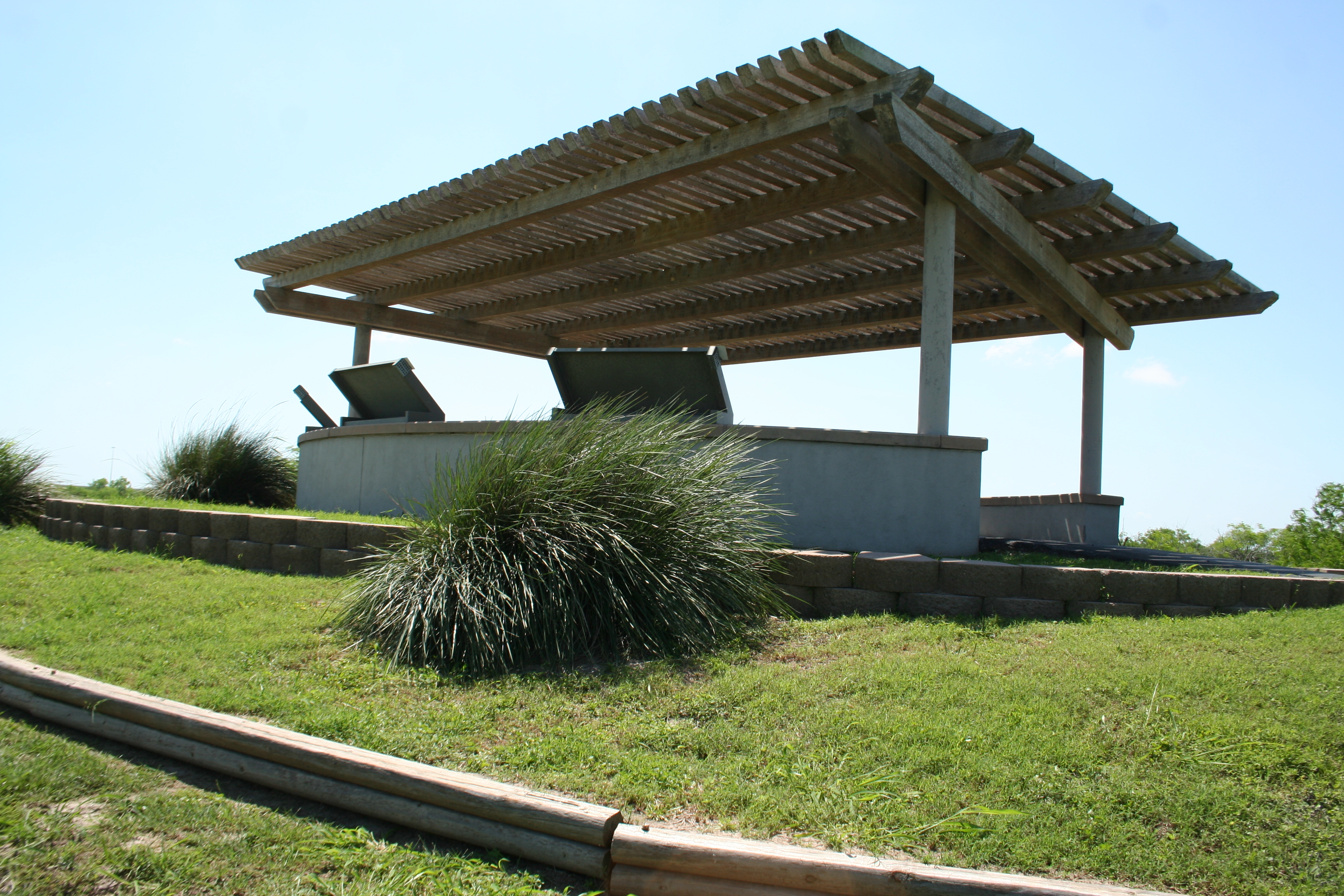
San Antonio Missions National Historical Park
National Historical Park
Welcome to San Antonio Missions, a National Park Service site and the only UNESCO World Heritage Site in Texas. Each mission in the park is a center of community and has been since the early 1700s. Th...
2 mi from route
~5 min detour
Free
near mile 228.6
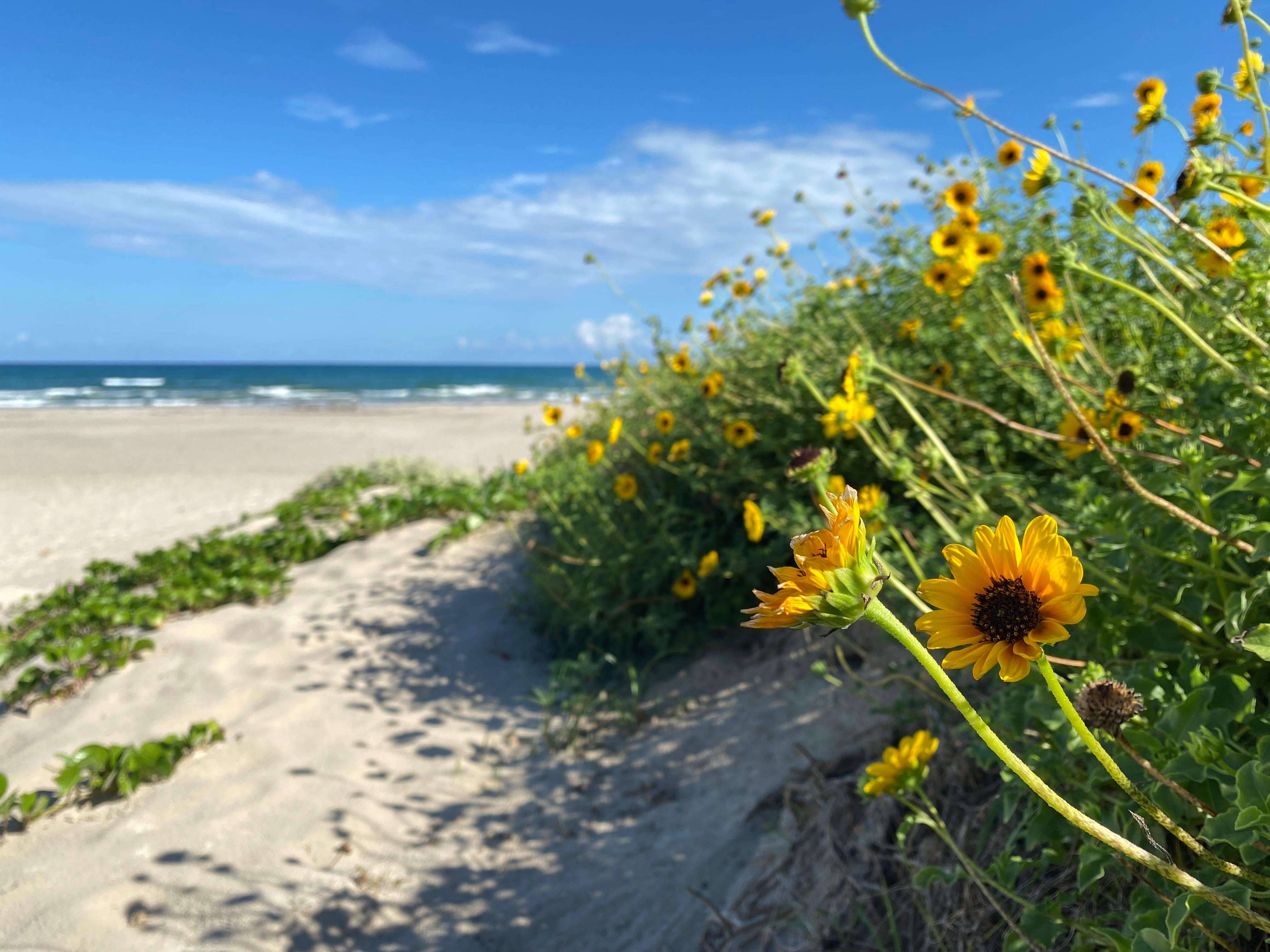
Protecting sixty-six miles of wild coastline along the Gulf of America, the narrow barrier island is home to one of the last intact coastal prairie habitats in the United States. Along the hypersaline...
On May 8, 1846, U.S. and Mexican troops clashed on the prairie of Palo Alto. The battle was the first in a two-year long war that changed the map of North America. Although the two countries have deve...
Station data from NREL Alternative Fuel Stations database.
Driving Electric?
About $25 in charging
· 0 stops
· 66% less CO2
Vehicle Type
kWh
Stops
DC Fast
Home Charge
Average EV
71
0
$24.86
$11.37
Efficient EV
59.2
0
$20.72
$9.47
EV Truck/SUV
94.7
1
$33.15
$15.16
Gas CO2
83 kg
EV CO2
28 kg (66% less)
Plan for 0 charging stops, roughly every 270 miles. Allow 25-40 minutes per stop at a DC fast charger.
DC fast charging avg $0.35/kWh. Home charging avg $0.16/kWh. US grid CO2: 0.39 kg/kWh.
Travel Intel
Current conditions at both ends of the drive.
Forecast as of Apr 16, 2026
Origin
Sebastian, TX
Night
in Sebastian on Thursday
Local time
11:52 PM
CDT
Current temp
69°F
Unavailable
Live forecast
Destination
San Antonio, TX
Night
in San Antonio on Thursday
Local time
11:52 PM
CDT
Current temp
77°F
Unavailable
Live forecast
Seasonal Notes
Summer travel usually means heavier construction, hotter rest stops, and busier weekend traffic around major cities.
Winter travel shortens daylight, so a route that looks manageable on paper can feel much longer after dark.
Holiday weekends tend to make both departure and arrival windows slower than the raw route time suggests.
Time zone
Same local time
Origin and destination are on the same clock, so arrival timing is easier to judge at a glance.
Temperature spread
8 degrees warmer at arrival
A meaningful temperature swing is a good cue to rethink layers, water, and how soon you want to arrive.
Road read
4h 31m on the road
An early start around 7-8 AM gets you there with plenty of daylight left.
Weather data from the National Weather Service. Conditions may change; check closer to your travel date.
Frequently Asked Questions
The drive from Sebastian, TX to San Antonio, TX covers 236.8 miles and takes about 4h 31m without stops. Add 15-30 minutes for a fuel or rest stop on longer drives.
The main roads are US 281, U.S. Highway 77, Nueces Street. Most of the drive stays on highways, so watch for ramps and exits.
This is a comfortable same-day trip.
The midpoint is about 118.4 miles from Sebastian, TX. Look for rest areas, gas stations, or food options near the halfway mark.
At current regular gas prices, expect to spend about $35.78 one way. This estimate uses 25.4 MPG — your actual cost will vary with your vehicle's fuel efficiency and current gas prices.
An early start around 7-8 AM gets you there with plenty of daylight left. A late afternoon start means arriving after dark. Morning is better.
Plan about 1 meaningful break for fuel, food, or rest. Plan on a short reset every 3 to 4 hours to stay fresh behind the wheel.
This is a demanding drive. With 15 significant decision points across 236.8 miles, you will need to stay alert - especially through interchange areas and urban stretches. Consider splitting it into segments if you are not comfortable with fast highway navigation.
The main spots that need attention: near the start (Spur 413; FM 2629 / East Main Street): Navigation decision point; at 0.8 miles (I 69E; US 77 / U.S. Highway 77): Merge point - match speed before joining. Lane positioning matters here; at 166.6 miles (US 281): Exit ramp - move to the correct lane early. Lane positioning matters here.
The route from Sebastian, TX to San Antonio, TX does not surface many named destination signs beyond the main corridor.
Yes. Nearby national parks include San Antonio Missions National Historical Park, Padre Island National Seashore and Palo Alto Battlefield National Historical Park.